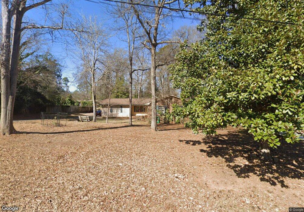
195 Biscayne Dr Athens, GA 30606
Estimated Value: $217,217 - $303,000
--
Bed
--
Bath
1,527
Sq Ft
$180/Sq Ft
Est. Value
About This Home
This home is located at 195 Biscayne Dr, Athens, GA 30606 and is currently estimated at $274,554, approximately $179 per square foot. 195 Biscayne Dr is a home located in Clarke County with nearby schools including Cleveland Road Elementary School, Burney-Harris-Lyons Middle School, and Clarke Central High School.
Ownership History
Date
Name
Owned For
Owner Type
Purchase Details
Closed on
Jun 30, 1997
Sold by
Mullis Cynthia B and Mullis Matthew G
Bought by
Alvarez Adan J and Alvarez Eileen M
Current Estimated Value
Purchase Details
Closed on
Nov 17, 1994
Sold by
Gay Jimmy A
Bought by
Mullis Cynthia B and Mullis Matthew G
Purchase Details
Closed on
Aug 9, 1993
Sold by
Kelley Ann Lousie A and Kelley K
Bought by
Gay Jimmy A
Purchase Details
Closed on
Mar 24, 1989
Sold by
Kelley Ann L and Kelley Norman C
Bought by
Kelley Ann Lousie A and Kelley K
Create a Home Valuation Report for This Property
The Home Valuation Report is an in-depth analysis detailing your home's value as well as a comparison with similar homes in the area
Home Values in the Area
Average Home Value in this Area
Purchase History
| Date | Buyer | Sale Price | Title Company |
|---|---|---|---|
| Alvarez Adan J | $75,500 | -- | |
| Mullis Cynthia B | $67,000 | -- | |
| Gay Jimmy A | $51,000 | -- | |
| Kelley Ann Lousie A | -- | -- |
Source: Public Records
Tax History Compared to Growth
Tax History
| Year | Tax Paid | Tax Assessment Tax Assessment Total Assessment is a certain percentage of the fair market value that is determined by local assessors to be the total taxable value of land and additions on the property. | Land | Improvement |
|---|---|---|---|---|
| 2025 | $1,405 | $75,694 | $12,000 | $63,694 |
| 2024 | $1,405 | $70,864 | $12,000 | $58,864 |
| 2023 | $621 | $66,116 | $12,000 | $54,116 |
| 2022 | $1,431 | $54,872 | $10,400 | $44,472 |
| 2021 | $1,274 | $47,816 | $10,400 | $37,416 |
| 2020 | $1,215 | $46,046 | $10,400 | $35,646 |
| 2019 | $1,088 | $42,056 | $9,600 | $32,456 |
| 2018 | $997 | $39,374 | $9,600 | $29,774 |
| 2017 | $933 | $37,470 | $9,600 | $27,870 |
| 2016 | $856 | $35,206 | $9,600 | $25,606 |
| 2015 | $869 | $35,557 | $9,600 | $25,957 |
| 2014 | $888 | $36,048 | $9,600 | $26,448 |
Source: Public Records
Map
Nearby Homes
- 532 Huntington Rd Unit 7
- 470 Huntington Rd Unit 5
- 170 Huntington Ct
- 256 Cherokee Ridge
- 141 Huntington Shoals Dr
- 637 Huntington Rd Unit B1
- 450 River Bottom Rd
- 212 Huntington Shoals Dr
- 241 Meeler Cir
- 212 Meeler Cir
- 240 W Huntington Rd
- 211 Littleton Way
- 150 The Preserve Dr Unit H2
- 860 Mitchell Bridge Rd Unit 8
- 860 Mitchell Bridge Rd Unit 8
- 115 Woodhaven St
- 190 W Huntington Rd
- 164 Lucy Ln
- 185 Biscayne Dr
- 185 Biscayne Dr Unit 14
- 205 Biscayne Dr
- 215 Biscayne Dr
- 164 Cherokee Ridge
- 175 Biscayne Dr
- 200 Biscayne Dr
- 210 Biscayne Dr
- 190 Biscayne Dr
- 170 Cherokee Ridge
- 186 Cherokee Ridge
- 156 Cherokee Ridge
- 299 Cavalier Rd
- 180 Biscayne Dr
- 0 Biscayne Dr Unit 7490594
- 0 Biscayne Dr Unit 8834924
- 0 Biscayne Dr Unit 7602077
- 0 Biscayne Dr
- 165 Biscayne Dr
- 225 Biscayne Dr