195 Capes Dr Tillamook, OR 97141
Estimated Value: $722,000 - $880,000
2
Beds
3
Baths
975
Sq Ft
$833/Sq Ft
Est. Value
About This Home
This home is located at 195 Capes Dr, Tillamook, OR 97141 and is currently estimated at $812,059, approximately $832 per square foot. 195 Capes Dr is a home with nearby schools including Tillamook High School.
Ownership History
Date
Name
Owned For
Owner Type
Purchase Details
Closed on
Dec 23, 2010
Sold by
Lightell Robert and Lightell Jane
Bought by
Lightell Robert W and Lightell Jane I
Current Estimated Value
Home Financials for this Owner
Home Financials are based on the most recent Mortgage that was taken out on this home.
Original Mortgage
$300,000
Interest Rate
4.34%
Mortgage Type
New Conventional
Create a Home Valuation Report for This Property
The Home Valuation Report is an in-depth analysis detailing your home's value as well as a comparison with similar homes in the area
Purchase History
| Date | Buyer | Sale Price | Title Company |
|---|---|---|---|
| Lightell Robert W | -- | First American |
Source: Public Records
Mortgage History
| Date | Status | Borrower | Loan Amount |
|---|---|---|---|
| Closed | Lightell Robert W | $300,000 |
Source: Public Records
Tax History
| Year | Tax Paid | Tax Assessment Tax Assessment Total Assessment is a certain percentage of the fair market value that is determined by local assessors to be the total taxable value of land and additions on the property. | Land | Improvement |
|---|---|---|---|---|
| 2025 | $6,150 | $480,670 | $218,020 | $262,650 |
| 2024 | $5,878 | $466,670 | $211,670 | $255,000 |
| 2023 | $5,855 | $453,080 | $205,500 | $247,580 |
| 2022 | $5,691 | $439,890 | $199,510 | $240,380 |
| 2021 | $5,561 | $427,080 | $193,700 | $233,380 |
| 2020 | $5,337 | $414,650 | $188,050 | $226,600 |
| 2019 | $5,342 | $402,580 | $182,570 | $220,010 |
| 2018 | $5,089 | $390,860 | $177,240 | $213,620 |
| 2017 | $5,006 | $380,450 | $166,530 | $213,920 |
| 2016 | $4,947 | $376,940 | $170,820 | $206,120 |
| 2015 | $4,735 | $355,230 | $172,220 | $183,010 |
| 2014 | $5,159 | $380,790 | $217,820 | $162,970 |
| 2013 | -- | $370,000 | $188,280 | $181,720 |
Source: Public Records
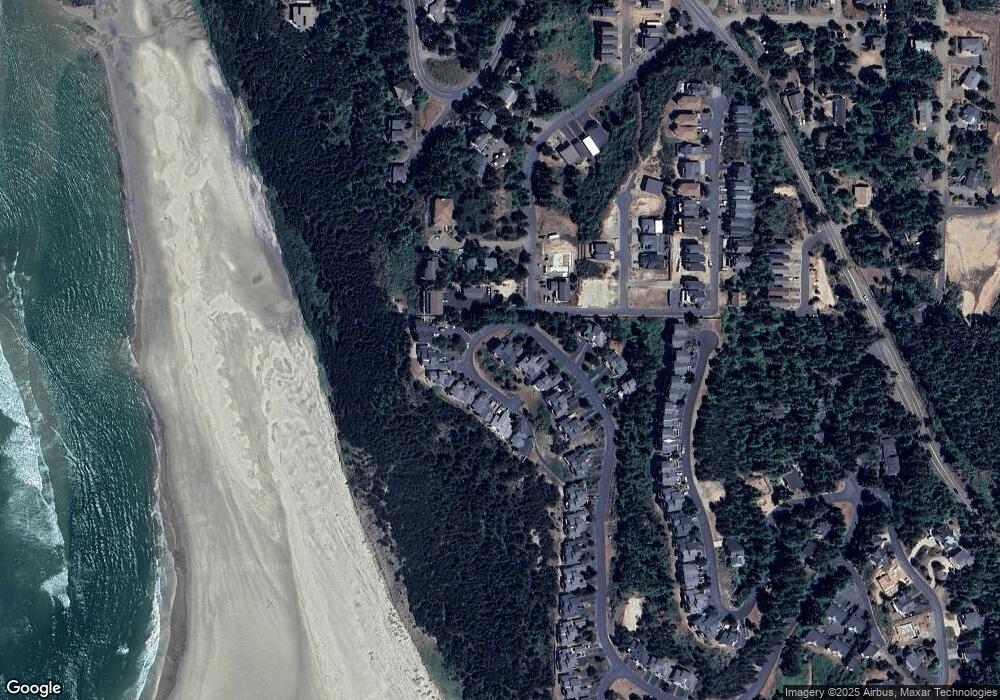
Map
Nearby Homes
- Lots 6,7,8 Glenwood St
- 110 Crescent St
- 5455 W Regent St
- 355 Promontory Ln
- 12 & 13 Crescent St
- 0 Crescent St Unit 12&13 614513147
- 120 Crescent St
- 110 Crescent St
- 140 Breezee Way
- 140 Breezee Way
- 0 Breezee Way Tl 2618
- 505 W Capes Loop Dr W
- 2620/2621 Breezee Way
- TL 2618 Breezee Way
- 0 Breezee Way Unit 2Lots 24287783
- 0 Glenwood St Unit Lts6-8
- 505 Capes Dr Unit 2
- 505 Capes Dr Unit 3
- 505 Capes Dr
- 505 Capes #2 Loop W Unit 2
- 195 Capes Dr
- 195 Capes Dr Unit The Capes
- 205 Capes Dr
- 215 Capes Dr
- 225 W Capes Dr
- 225 W Capes Dr Unit The Capes
- 225 Capes Dr
- 1128 Glenwood St
- 235 Capes Dr
- 235 Capes Dr Unit 63&64
- 235 Capes Dr
- 160 Capes Dr
- 170 Capes Dr
- 180 Capes Dr
- 140 Capes Dr
- 140 Capes Dr
- 5450 South Ave NW
- 5450 South Ave Unit 3
- 5450 South Ave
- 210 Capes Dr
Your Personal Tour Guide
Ask me questions while you tour the home.