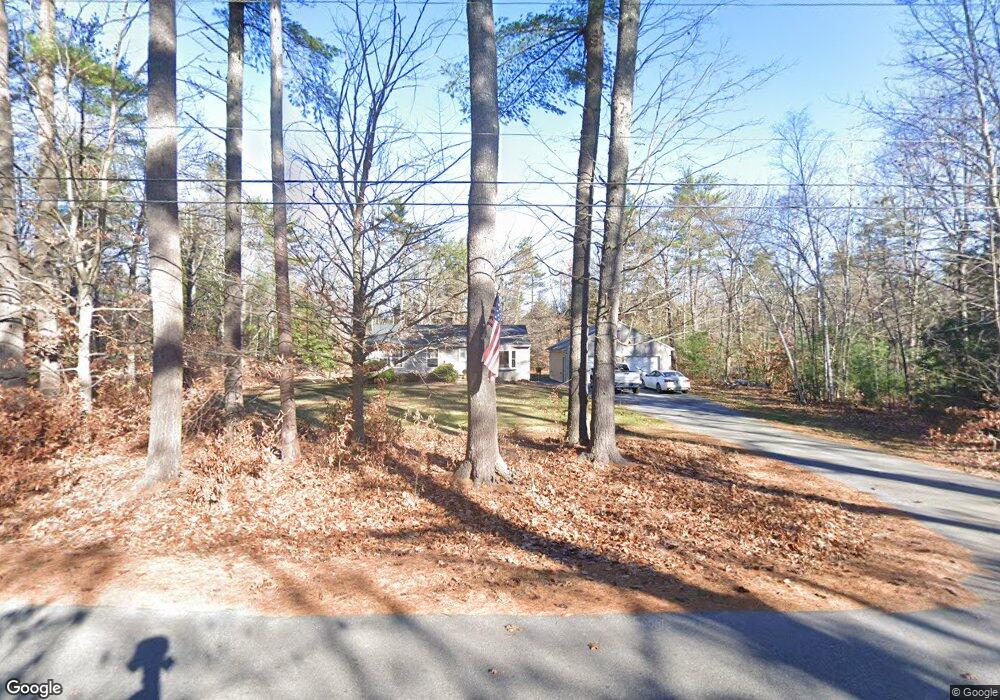
195 Cemetery Rd Buxton, ME 04093
Estimated Value: $400,700 - $420,000
3
Beds
1
Bath
960
Sq Ft
$428/Sq Ft
Est. Value
About This Home
This home is located at 195 Cemetery Rd, Buxton, ME 04093 and is currently estimated at $410,425, approximately $427 per square foot. 195 Cemetery Rd is a home with nearby schools including Bonny Eagle High School.
Ownership History
Date
Name
Owned For
Owner Type
Purchase Details
Closed on
Oct 8, 2015
Sold by
Fortunato Cheryl L
Bought by
Fortunato Cheryl L
Current Estimated Value
Home Financials for this Owner
Home Financials are based on the most recent Mortgage that was taken out on this home.
Original Mortgage
$172,975
Interest Rate
4.5%
Mortgage Type
FHA
Create a Home Valuation Report for This Property
The Home Valuation Report is an in-depth analysis detailing your home's value as well as a comparison with similar homes in the area
Home Values in the Area
Average Home Value in this Area
Purchase History
| Date | Buyer | Sale Price | Title Company |
|---|---|---|---|
| Fortunato Cheryl L | -- | -- |
Source: Public Records
Mortgage History
| Date | Status | Borrower | Loan Amount |
|---|---|---|---|
| Closed | Fortunato Cheryl L | $172,975 |
Source: Public Records
Tax History
| Year | Tax Paid | Tax Assessment Tax Assessment Total Assessment is a certain percentage of the fair market value that is determined by local assessors to be the total taxable value of land and additions on the property. | Land | Improvement |
|---|---|---|---|---|
| 2025 | $3,690 | $323,700 | $115,200 | $208,500 |
| 2024 | $3,557 | $323,700 | $115,200 | $208,500 |
| 2023 | $3,376 | $323,700 | $115,200 | $208,500 |
| 2022 | $3,318 | $324,000 | $115,200 | $208,800 |
| 2021 | $2,742 | $213,890 | $73,300 | $140,590 |
| 2020 | $0 | $213,890 | $73,300 | $140,590 |
| 2019 | $0 | $192,400 | $73,300 | $119,100 |
| 2018 | $2,721 | $192,400 | $73,300 | $119,100 |
| 2017 | $2,617 | $192,400 | $73,300 | $119,100 |
| 2016 | $2,511 | $192,400 | $73,300 | $119,100 |
| 2015 | $2,492 | $192,400 | $73,300 | $119,100 |
| 2014 | $2,443 | $192,400 | $73,300 | $119,100 |
| 2013 | $2,405 | $192,400 | $73,300 | $119,100 |
Source: Public Records
Map
Nearby Homes
- 866 Parker Farm Lot B Rd
- 866 Parker Farm Lot A Rd
- 866 Parker Farm Rd Unit A
- 866 Parker Farm Rd Unit B
- 42 Brandons Way
- 30 Joan Dixon Way
- Lot 2 Commerce Way
- 4 Musket Dr
- 116 Dingley Spring Rd
- 63 Ossipee Trail E
- 27 Ossipee Trail E Unit 1
- 1 Cortland Place Unit 7
- 107 Sokokis Trail
- 66 Ossipee Trail East Trail E
- 35 Rust Rd
- 1 Macie Dr Unit 84
- 11 Macie Dr Unit 79
- 7 Macie Dr
- 324 Ossipee Trail W Unit 2
- 326 Ossipee Trail W Unit 3
- 189 Cemetery Rd
- 200 Cemetery Rd
- 183 Cemetery Rd
- 175 Cemetery Rd
- 180 Cemetery Rd
- 171 Cemetery Rd
- 172 Cemetery Rd
- 71 Old Thompson Rd
- 222 Cemetery Rd
- 167 Cemetery Rd
- 67 Old Thompson Rd
- 87 Old Thompson Rd
- 93 Old Thompson Rd
- 166 Cemetery Rd
- 101 Old Thompson Rd
- 61 Old Thompson Rd
- 406 Old Thompson Rd
- 161 Cemetery Rd
- 109 Old Thompson Rd
- 53 Old Thompson Rd
Your Personal Tour Guide
Ask me questions while you tour the home.