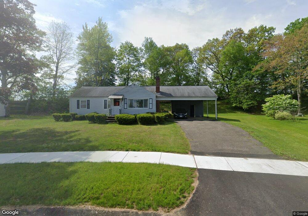
195 Circle Dr West Springfield, MA 01089
Estimated Value: $307,000 - $384,000
1
Bed
2
Baths
1,048
Sq Ft
$319/Sq Ft
Est. Value
About This Home
This home is located at 195 Circle Dr, West Springfield, MA 01089 and is currently estimated at $334,551, approximately $319 per square foot. 195 Circle Dr is a home located in Hampden County with nearby schools including West Springfield High School, Hampden Charter School of Science West, and St Thomas The Apostle School.
Ownership History
Date
Name
Owned For
Owner Type
Purchase Details
Closed on
Sep 11, 2013
Sold by
Rizzo Vincent
Bought by
Rizzo Vincent and Rizzo Vincent A
Current Estimated Value
Create a Home Valuation Report for This Property
The Home Valuation Report is an in-depth analysis detailing your home's value as well as a comparison with similar homes in the area
Home Values in the Area
Average Home Value in this Area
Purchase History
| Date | Buyer | Sale Price | Title Company |
|---|---|---|---|
| Rizzo Vincent | -- | -- |
Source: Public Records
Tax History
| Year | Tax Paid | Tax Assessment Tax Assessment Total Assessment is a certain percentage of the fair market value that is determined by local assessors to be the total taxable value of land and additions on the property. | Land | Improvement |
|---|---|---|---|---|
| 2025 | $3,990 | $268,300 | $113,100 | $155,200 |
| 2024 | $3,938 | $265,900 | $113,100 | $152,800 |
| 2023 | $3,674 | $236,400 | $113,100 | $123,300 |
| 2022 | $3,324 | $210,900 | $102,600 | $108,300 |
| 2021 | $3,267 | $193,300 | $96,600 | $96,700 |
| 2020 | $3,215 | $189,200 | $96,600 | $92,600 |
| 2019 | $3,209 | $189,200 | $96,600 | $92,600 |
| 2018 | $3,226 | $189,200 | $96,600 | $92,600 |
| 2017 | $3,226 | $189,200 | $96,600 | $92,600 |
| 2016 | $3,170 | $186,600 | $92,700 | $93,900 |
| 2015 | $3,109 | $183,000 | $90,900 | $92,100 |
| 2014 | $3,003 | $183,000 | $90,900 | $92,100 |
Source: Public Records
Map
Nearby Homes
- 0 Ahiska Rd Unit 73477754
- 750 Amostown Rd
- 791 Morgan Rd
- 36 Shady Brook
- 240 Morton St
- 61 Clarence St
- 34 High Meadow Dr
- 2 Windpath E
- 88 Verdugo St
- 65 Verdugo St
- 404 Brush Hill Ave
- 62 Talcott Ave
- 917 Elm St
- 65 Churchill Rd
- 81 Chestnut St
- 20-22 Gay Terrace
- 32 Maple St
- 115 Grove St
- 80 Brush Hill Ave Unit 61
- 58 Field St
- 201 Circle Dr
- 189 Circle Dr
- 181 Circle Dr
- 216 Circle Dr
- lot23 Mulcahy Dr
- lot12 Mulcahy Dr
- lot13 Mulcahy Dr
- 209 Circle Dr
- 171 Circle Dr
- 176 Circle Dr
- 226 Circle Dr
- 219 Circle Dr
- 168 Circle Dr
- 163 Circle Dr
- 0 Riverdale Street Opportunity Unit 70830080
- 1520 Morgan Rd (Near Reservoir)
- 225 Circle Dr
- 454 Cold Springs Ave Unit 454
- Lot 5 Ahiska Rd
- Business Opportunity
Your Personal Tour Guide
Ask me questions while you tour the home.