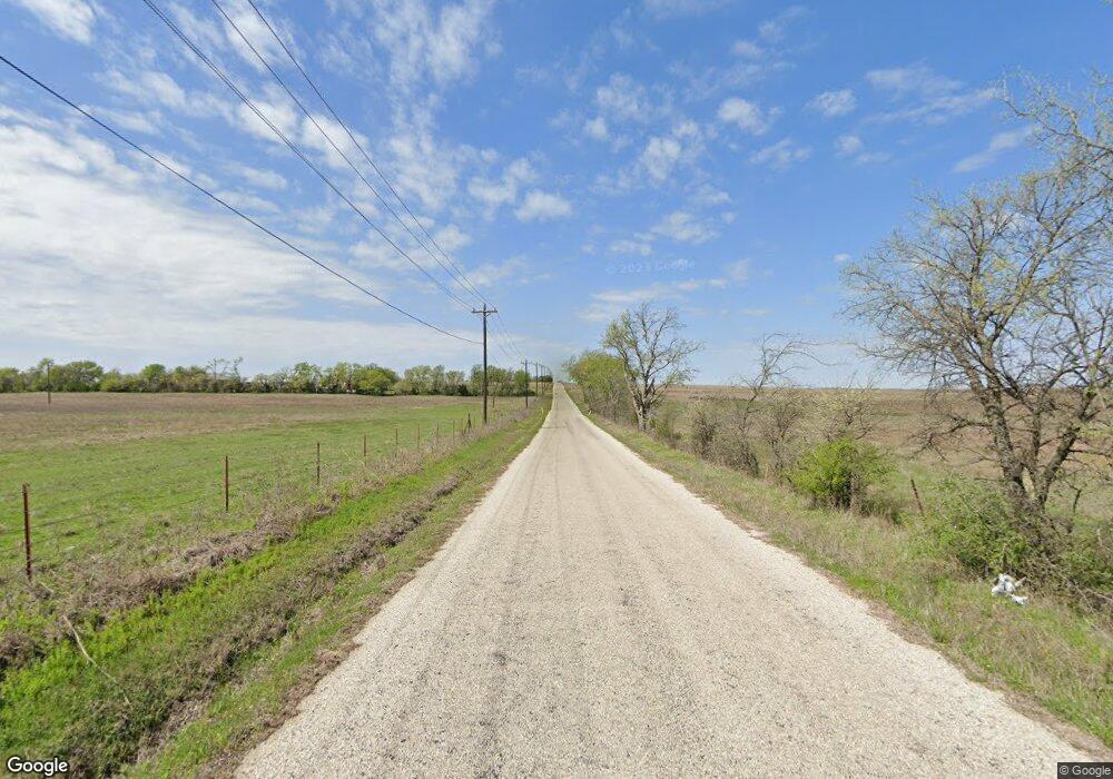
195 County Road 2937 Unit 2391 Decatur, TX 76234
Estimated Value: $758,000
--
Bed
2
Baths
2,036
Sq Ft
$372/Sq Ft
Est. Value
About This Home
This home is located at 195 County Road 2937 Unit 2391, Decatur, TX 76234 and is currently estimated at $758,000, approximately $372 per square foot. 195 County Road 2937 Unit 2391 is a home located in Wise County with nearby schools including Alvord Elementary School, Alvord Middle School, and Alvord High School.
Ownership History
Date
Name
Owned For
Owner Type
Purchase Details
Closed on
May 6, 2005
Sold by
Eighter From Decatur Ranch
Bought by
Brown Joshua M and Brown Amber K
Current Estimated Value
Home Financials for this Owner
Home Financials are based on the most recent Mortgage that was taken out on this home.
Original Mortgage
$59,900
Interest Rate
6.06%
Mortgage Type
Future Advance Clause Open End Mortgage
Create a Home Valuation Report for This Property
The Home Valuation Report is an in-depth analysis detailing your home's value as well as a comparison with similar homes in the area
Home Values in the Area
Average Home Value in this Area
Purchase History
| Date | Buyer | Sale Price | Title Company |
|---|---|---|---|
| Brown Joshua M | -- | None Available |
Source: Public Records
Mortgage History
| Date | Status | Borrower | Loan Amount |
|---|---|---|---|
| Closed | Brown Joshua M | $59,900 |
Source: Public Records
Tax History Compared to Growth
Tax History
| Year | Tax Paid | Tax Assessment Tax Assessment Total Assessment is a certain percentage of the fair market value that is determined by local assessors to be the total taxable value of land and additions on the property. | Land | Improvement |
|---|---|---|---|---|
| 2025 | $2,807 | $337,082 | $16,312 | $320,770 |
| 2024 | $2,807 | $321,778 | $16,228 | $305,550 |
| 2023 | $3,825 | $322,153 | $0 | $0 |
| 2022 | $4,152 | $447,118 | $0 | $0 |
| 2021 | $4,017 | $408,720 | $176,560 | $232,160 |
| 2020 | $3,896 | $387,120 | $163,450 | $223,670 |
| 2019 | $4,038 | $380,300 | $163,450 | $216,850 |
| 2018 | $4,062 | $345,910 | $128,130 | $217,780 |
| 2017 | $3,775 | $312,090 | $109,060 | $203,030 |
| 2016 | $3,418 | $305,730 | $105,310 | $200,420 |
| 2015 | -- | $289,900 | $105,310 | $184,590 |
| 2014 | -- | $187,160 | $6,750 | $180,410 |
Source: Public Records
Map
Nearby Homes
- 2721 Old Decatur Rd
- 2296 Old Decatur Rd
- 858 County Road 2395
- 1300 County Road 2360
- 188 Private Road 2356
- 2270 County Road 2360
- 1600 County Road 2395
- 172 Cowan Crossing
- 835 County Road 2175
- 1006 County Road 2475
- 1230 County Road 2475
- 1200 County Road 2475
- 215 Private Road 2394
- TBD3 N Fm 730
- 365 County Road 1180
- 5529 N US Highway 287
- 205 Private Road 2202 Unit 2194
- 135 Private Road 2202
- 362 County Road 1170
- 114 Cemetery Rd
- 2888 Old Decatur Rd
- 2743 Old Decatur Rd
- 2733 Old Decatur Rd
- 2739 Old Decatur Rd
- 125 Private Road 2395
- 2759 Old Decatur Rd
- 237 Private Road 2391
- 237 Private Road 2391
- 237 Private Road 2391
- 2689 Old Decatur Rd
- 110 Private Road 2381
- 110 Private Road 2381
- 110 Private Road 2381
- 484 Fs-942
- 2653 Old Decatur Rd
- 498 Private Road 2391
- 476 Private Road 2391
- TBD Pr 2381
- 470 Private Road 2391
- Lot L Cr 2360
