195 Crowfield Saunderstown, RI 02874
Saunderstown NeighborhoodEstimated Value: $1,182,000 - $1,667,913
3
Beds
4
Baths
3,366
Sq Ft
$442/Sq Ft
Est. Value
About This Home
This home is located at 195 Crowfield, Saunderstown, RI 02874 and is currently estimated at $1,487,304, approximately $441 per square foot. 195 Crowfield is a home located in Washington County with nearby schools including Hamilton Elementary School, Wickford Middle School, and North Kingstown Sr. High School.
Ownership History
Date
Name
Owned For
Owner Type
Purchase Details
Closed on
Jan 14, 2019
Sold by
Carter Anne P
Bought by
Carter-Clunan Sarah
Current Estimated Value
Purchase Details
Closed on
Apr 12, 2000
Sold by
Carter F V Est
Bought by
Carter Anne P
Create a Home Valuation Report for This Property
The Home Valuation Report is an in-depth analysis detailing your home's value as well as a comparison with similar homes in the area
Home Values in the Area
Average Home Value in this Area
Purchase History
| Date | Buyer | Sale Price | Title Company |
|---|---|---|---|
| Carter-Clunan Sarah | -- | -- | |
| Carter Anne P | $82,808 | -- |
Source: Public Records
Mortgage History
| Date | Status | Borrower | Loan Amount |
|---|---|---|---|
| Previous Owner | Carter Anne P | $100,000 |
Source: Public Records
Tax History Compared to Growth
Tax History
| Year | Tax Paid | Tax Assessment Tax Assessment Total Assessment is a certain percentage of the fair market value that is determined by local assessors to be the total taxable value of land and additions on the property. | Land | Improvement |
|---|---|---|---|---|
| 2025 | $17,990 | $1,629,500 | $747,000 | $882,500 |
| 2024 | $17,947 | $1,251,500 | $629,800 | $621,700 |
| 2023 | $17,947 | $1,251,500 | $629,800 | $621,700 |
| 2022 | $17,596 | $1,251,500 | $629,800 | $621,700 |
| 2021 | $16,651 | $951,500 | $404,400 | $547,100 |
| 2020 | $16,155 | $945,300 | $404,400 | $540,900 |
| 2019 | $16,155 | $945,300 | $404,400 | $540,900 |
| 2018 | $15,791 | $832,400 | $429,700 | $402,700 |
| 2017 | $15,474 | $832,400 | $429,700 | $402,700 |
| 2016 | $15,033 | $832,400 | $429,700 | $402,700 |
| 2015 | $15,293 | $792,400 | $429,700 | $362,700 |
| 2014 | $14,984 | $792,400 | $429,700 | $362,700 |
Source: Public Records
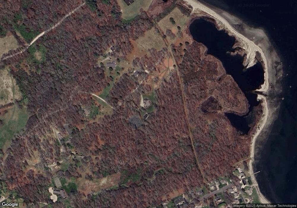
Map
Nearby Homes
- 73 Oceanwoods Dr
- 10 Highland Rd
- 127 Oceanwoods Dr
- 51 Salisbury Ave
- 121 Seaside Dr
- 174 Seaside Dr
- 94 Spindrift St
- 229 Earle Dr
- 31 Stanchion St
- 63 Duck Cove Rd
- 86 Spanker St
- 480 Boston Neck Rd
- 2180 Tower Hill Rd
- 65 Village Hill Ln
- 21 Helm St
- 58 Dolphin St
- 2424 Tower Hill Rd
- 471 Annaquatucket Rd
- 398 Sampan Ave
- 625 N Main Rd
- 186 Crowfield
- 125 Crowfield
- 99 Crowfield
- 200 Plum Point Rd
- 188 Plum Point Rd
- 206 Plum Point Rd
- 220 Plum Point Rd
- 170 Plum Point Rd
- 226 Plum Point Rd
- 230 Plum Point Rd
- 162 Plum Point Rd
- 150 Plum Point Rd
- 4 Spindrift Dr
- 1 Spindrift Dr
- 1 Spindrift Dr
- 2 Riptide Dr
- 145 Plantation Ln
- 185 Plum Point Rd
- 3 Albatross Dr
- 10 Spindrift Dr