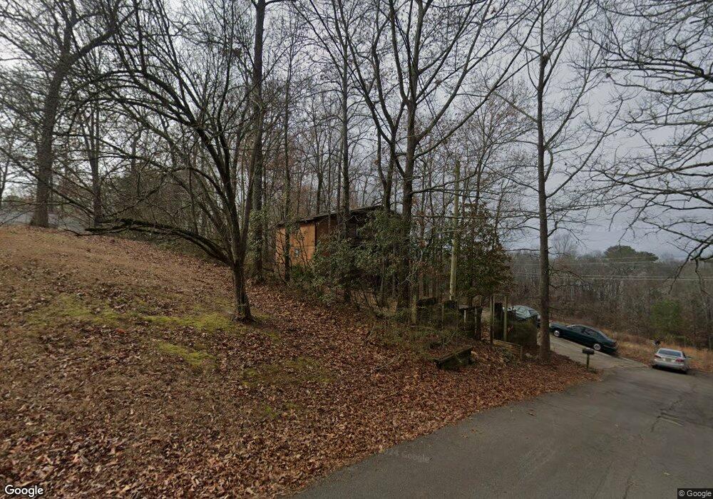
195 Darryl Rd Scottsboro, AL 35769
Estimated Value: $203,204 - $629,000
--
Bed
--
Bath
1,152
Sq Ft
$308/Sq Ft
Est. Value
About This Home
This home is located at 195 Darryl Rd, Scottsboro, AL 35769 and is currently estimated at $354,301, approximately $307 per square foot. 195 Darryl Rd is a home located in Jackson County with nearby schools including Scottsboro High School and Scottsboro Christian Academy.
Ownership History
Date
Name
Owned For
Owner Type
Purchase Details
Closed on
Jan 31, 2007
Sold by
Ferber Ralph and Ferber Linda
Bought by
Thomas Pamela
Current Estimated Value
Home Financials for this Owner
Home Financials are based on the most recent Mortgage that was taken out on this home.
Original Mortgage
$100,000
Outstanding Balance
$59,629
Interest Rate
6.08%
Estimated Equity
$294,672
Purchase Details
Closed on
Feb 25, 2005
Sold by
Fannie Mae
Bought by
Ferber Ralph and Ferber Linda
Create a Home Valuation Report for This Property
The Home Valuation Report is an in-depth analysis detailing your home's value as well as a comparison with similar homes in the area
Home Values in the Area
Average Home Value in this Area
Purchase History
| Date | Buyer | Sale Price | Title Company |
|---|---|---|---|
| Thomas Pamela | -- | -- | |
| Ferber Ralph | -- | -- |
Source: Public Records
Mortgage History
| Date | Status | Borrower | Loan Amount |
|---|---|---|---|
| Open | Thomas Pamela | $100,000 |
Source: Public Records
Tax History Compared to Growth
Tax History
| Year | Tax Paid | Tax Assessment Tax Assessment Total Assessment is a certain percentage of the fair market value that is determined by local assessors to be the total taxable value of land and additions on the property. | Land | Improvement |
|---|---|---|---|---|
| 2024 | $831 | $16,960 | $0 | $0 |
| 2023 | $774 | $16,960 | $0 | $0 |
| 2022 | $774 | $16,960 | $0 | $0 |
| 2021 | $732 | $16,100 | $0 | $0 |
| 2020 | $612 | $13,620 | $0 | $0 |
| 2019 | $600 | $13,380 | $0 | $0 |
| 2018 | $600 | $13,380 | $0 | $0 |
| 2017 | $352 | $133,800 | $0 | $0 |
| 2016 | $330 | $126,300 | $0 | $0 |
| 2015 | $330 | $126,300 | $0 | $0 |
| 2014 | $330 | $126,300 | $0 | $0 |
| 2013 | -- | $126,300 | $0 | $0 |
Source: Public Records
Map
Nearby Homes
- 383 Anderson St W
- 2981 Bob Jones Rd
- 150 Lake Pointe Dr
- 131 Anderson St E
- 216 Canadian Dr
- 222 Lakewood Dr
- 3 Acres S Broad St
- Lot 11 Pruett Cir
- 4140 S Broad St
- 2310 Bob Jones Rd
- 4 acres Bob Jones Rd
- 118 Greenwood Dr
- 50 Pruett Cir
- 17 Goose Pond Island Dr
- 565 Goosepond Island Dr
- 1.38 Highway 72
- 1481 Peninsula Dr
- H 900 County Road 114
- 105 Chasewood Cove
- 104 Wimberly Dr
- 165 Darryl Rd
- 6095 Al Highway 79
- 137 Darryl Rd
- 121 Darryl Rd
- 87 Darryl Rd
- 63 Darryl Rd
- 22 Chywonah Dr
- 6125 Al Highway 79
- 60 Chywonah Dr
- 50 Darryl Rd
- 75 Chywonah Dr
- 76 Chywonah Dr
- 000 Alabama Highway 79
- 107 Chywonah Dr
- 6205 Al Highway 79
- 6205 Al Highway 79
- 0 Alabama Hwy 279 Unit 1101852
- 0 Alabama Hwy 279 Unit 1007010
- 0 Alabama Hwy 279 Unit 1022833
- 0 Alabama Hwy 279 Unit 1053679