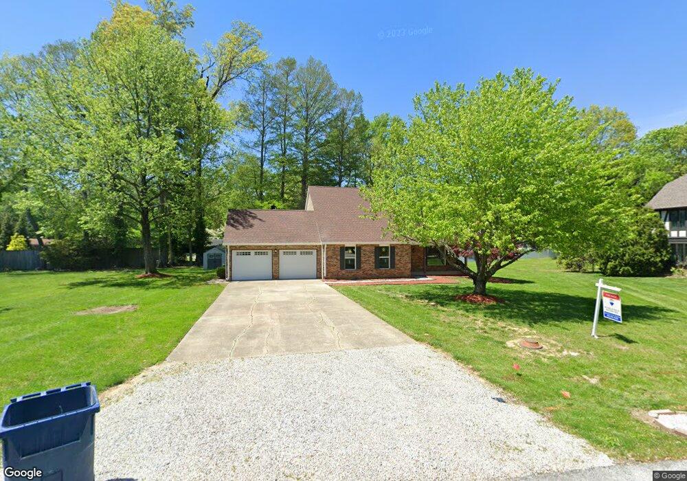
195 Deming Ln Terre Haute, IN 47803
Estimated Value: $233,000 - $350,000
3
Beds
2
Baths
2,581
Sq Ft
$106/Sq Ft
Est. Value
About This Home
This home is located at 195 Deming Ln, Terre Haute, IN 47803 and is currently estimated at $272,913, approximately $105 per square foot. 195 Deming Ln is a home located in Vigo County with nearby schools including Lost Creek Elementary School, Woodrow Wilson Middle School, and Terre Haute North Vigo High School.
Ownership History
Date
Name
Owned For
Owner Type
Purchase Details
Closed on
Mar 23, 2018
Sold by
Nardini Anthony and Nardini Maria
Bought by
Burton Faith J and Rowe Dan A
Current Estimated Value
Home Financials for this Owner
Home Financials are based on the most recent Mortgage that was taken out on this home.
Original Mortgage
$112,850
Outstanding Balance
$81,373
Interest Rate
4.32%
Mortgage Type
New Conventional
Estimated Equity
$191,540
Create a Home Valuation Report for This Property
The Home Valuation Report is an in-depth analysis detailing your home's value as well as a comparison with similar homes in the area
Home Values in the Area
Average Home Value in this Area
Purchase History
| Date | Buyer | Sale Price | Title Company |
|---|---|---|---|
| Burton Faith J | -- | None Available |
Source: Public Records
Mortgage History
| Date | Status | Borrower | Loan Amount |
|---|---|---|---|
| Open | Burton Faith J | $112,850 |
Source: Public Records
Tax History Compared to Growth
Tax History
| Year | Tax Paid | Tax Assessment Tax Assessment Total Assessment is a certain percentage of the fair market value that is determined by local assessors to be the total taxable value of land and additions on the property. | Land | Improvement |
|---|---|---|---|---|
| 2024 | $3,989 | $184,500 | $22,900 | $161,600 |
| 2023 | $3,779 | $174,800 | $22,900 | $151,900 |
| 2022 | $1,734 | $161,600 | $22,900 | $138,700 |
| 2021 | $1,640 | $153,100 | $22,400 | $130,700 |
| 2020 | $1,601 | $149,100 | $21,800 | $127,300 |
| 2019 | $1,569 | $146,400 | $21,400 | $125,000 |
| 2018 | $1,410 | $141,000 | $20,600 | $120,400 |
| 2017 | $1,420 | $146,800 | $21,600 | $125,200 |
| 2016 | $1,392 | $143,400 | $20,600 | $122,800 |
| 2014 | $1,338 | $133,800 | $19,600 | $114,200 |
| 2013 | $1,338 | $135,100 | $19,800 | $115,300 |
Source: Public Records
Map
Nearby Homes
- 500 Keane Ln Unit . 3
- 145 Deming Ln
- 2530 Birchwood Ln
- 6217 Woodhill Ln
- 6240 Woodhill Ln
- 6232 Woodhill Ln
- 6208 Woodhill Ln
- 2524 Birchwood Ln
- 2511 Birchwood Ln
- 2517 Birchwood Ln
- 2523 Birchwood Ln
- 2529 Birchwood Ln
- 2535 Birchwood Ln
- 2541 Birchwood Ln
- 2547 Birchwood Ln
- 2557 Birchwood Ln
- 6214 Woodhill Ln
- 6209 Woodhill Ln
- 3865 N Anderson Dr
- 4750 E Poplar Dr
- 185 Deming Ln
- 205 Deming Ln
- 4499 Berrymore Ct
- 175 Deming Ln
- 430 Keane Ln
- 420 Keane Ln
- 210 Deming Ln
- 4477 Berrymore Ct
- 440 Keane Ln
- 410 Keane Ln
- 4367 Berrymore Ct
- 165 Deming Ln
- 200 Deming Ln
- 220 Deming Ln
- 105 Deming Ln
- 500 Keane Ln Unit 4
- 4369 Berrymore Ct
- 4455 Berrymore Ct
- 190 Deming Ln
- 135 Deming Ln