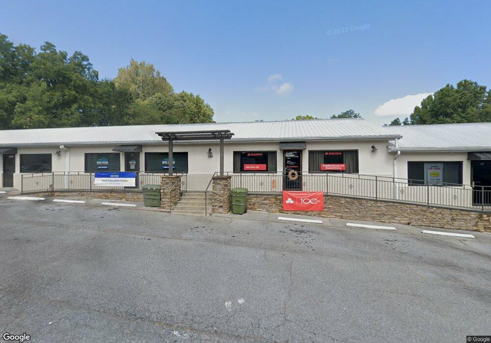
195 E Jarrard St Cleveland, GA 30528
17
Beds
2
Baths
3,760
Sq Ft
1.79
Acres
About This Home
This home is located at 195 E Jarrard St, Cleveland, GA 30528. 195 E Jarrard St is a home located in White County with nearby schools including White County 9th Grade Academy, Tesnatee Gap Elementary (Old White County Intermediate), and Jack P. Nix Elementary School.
Ownership History
Date
Name
Owned For
Owner Type
Purchase Details
Closed on
Dec 28, 2012
Sold by
Presley Ricky L
Bought by
Ricky L Presley Fam Limited
Purchase Details
Closed on
Apr 9, 2012
Sold by
Fdic
Bought by
Presley Ricky
Purchase Details
Closed on
Sep 4, 2008
Sold by
Community Bank Trust
Bought by
Michael Christopher
Home Financials for this Owner
Home Financials are based on the most recent Mortgage that was taken out on this home.
Original Mortgage
$1,600,500
Interest Rate
6.49%
Purchase Details
Closed on
Sep 1, 2008
Sold by
Not Provided
Bought by
Michael Christopher J
Home Financials for this Owner
Home Financials are based on the most recent Mortgage that was taken out on this home.
Original Mortgage
$1,600,500
Interest Rate
6.49%
Create a Home Valuation Report for This Property
The Home Valuation Report is an in-depth analysis detailing your home's value as well as a comparison with similar homes in the area
Home Values in the Area
Average Home Value in this Area
Purchase History
| Date | Buyer | Sale Price | Title Company |
|---|---|---|---|
| Ricky L Presley Fam Limited | -- | -- | |
| Ricky L Presley Fam Limited | -- | -- | |
| Presley Ricky | $340,000 | -- | |
| Presley Ricky | $340,000 | -- | |
| Michael Christopher | $1,600,000 | -- | |
| Michael Christopher | $1,600,000 | -- | |
| Michael Christopher J | $250,000 | -- | |
| Michael Christopher J | $250,000 | -- |
Source: Public Records
Mortgage History
| Date | Status | Borrower | Loan Amount |
|---|---|---|---|
| Previous Owner | Michael Christopher | $1,600,500 |
Source: Public Records
Tax History Compared to Growth
Tax History
| Year | Tax Paid | Tax Assessment Tax Assessment Total Assessment is a certain percentage of the fair market value that is determined by local assessors to be the total taxable value of land and additions on the property. | Land | Improvement |
|---|---|---|---|---|
| 2025 | $6,044 | $233,472 | $34,500 | $198,972 |
| 2024 | $6,044 | $233,472 | $34,500 | $198,972 |
| 2023 | $5,567 | $200,696 | $34,500 | $166,196 |
| 2022 | $5,777 | $200,696 | $34,500 | $166,196 |
| 2021 | $4,691 | $143,324 | $18,000 | $125,324 |
| 2020 | $5,283 | $155,020 | $18,000 | $137,020 |
| 2019 | $5,050 | $147,540 | $18,000 | $129,540 |
| 2018 | $5,050 | $147,540 | $18,000 | $129,540 |
| 2017 | $4,711 | $142,864 | $18,000 | $124,864 |
| 2016 | $4,712 | $142,864 | $18,000 | $124,864 |
| 2015 | $4,529 | $357,160 | $18,000 | $124,864 |
| 2014 | $4,716 | $377,260 | $0 | $0 |
Source: Public Records
Map
Nearby Homes
- 1 E Jarrard St
- 915 Holiness
- 438 LOT B Dixon Dr
- 225 E Underwood St
- 93 Colonial Dr
- 438 Dixon Dr
- 0 Helen Hwy Unit 10620481
- LOT 2 Helipad Rd
- 212 Yonah Springs Dr
- 426 Old Clarksville Hwy
- 230 Campbell St
- 232 Campbell St
- 0 Townview Dr Unit 10495967
- 0 W Kytle St Unit 10623685
- 0 Bryant St
- 165 Jackson Heights Unit 1
- 171 Jackson Heights
- 177 Jackson Heights
- 183 Jackson Heights Unit 4
- 183 Jackson Heights
- 0 Glenns Dr Unit 3130835
- 0 White Oak Trail Unit 3166691
- 0 Poverty Dr Unit 7104917
- 0 Glenns Dr Unit 7267847
- 0 Mountain Gate Unit 6.69 AC 7344798
- 0 Glenns Dr Unit 7347905
- 0 Whistlestop Trail Unit 7347850
- 0 Glenns Dr Unit LOT 5 7346306
- 0 Poverty Dr Unit 7384891
- 0 Poverty Dr Unit 12.105AC 7578612
- 0 Jess Hunt Tract 12 Rd Unit 5820609
- 0 Jess Hunt Tract 10 Rd Unit 5820600
- 0 White Oak Trail Unit 3126180
- 0 Mountain Gate Unit 8887559
- 0 Mountain Gate Unit 8703714
- 0 Mountain Gate Unit 8546050
- 85 Cemetery St
- E E Jarrard St
- 0 Church St Unit 2916955
- 0 Church St Unit 8717864