Estimated Value: $806,915 - $1,033,000
--
Bed
--
Bath
2,921
Sq Ft
$308/Sq Ft
Est. Value
About This Home
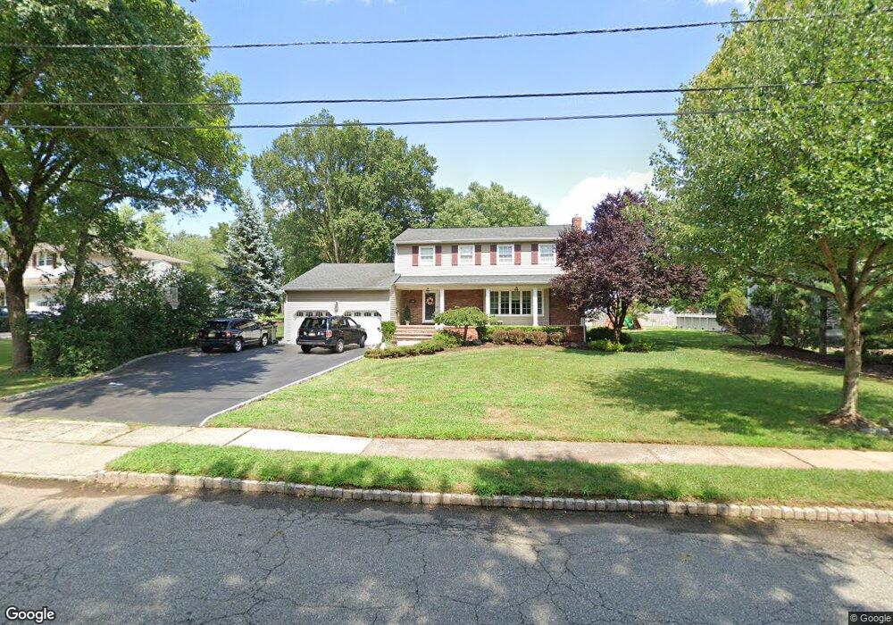
This home is located at 195 Hawthorne Dr, Clark, NJ 07066 and is currently estimated at $900,729, approximately $308 per square foot. 195 Hawthorne Dr is a home located in Union County with nearby schools including Frank K. Hehnly Elementary School, Carl H. Kumpf Middle School, and Arthur L. Johnson High School.
Ownership History
Date
Name
Owned For
Owner Type
Purchase Details
Closed on
Feb 23, 2007
Sold by
Couzzi Anthony
Bought by
Couzzi Mary
Current Estimated Value
Purchase Details
Closed on
Nov 30, 1998
Sold by
Weisholtz Nita
Bought by
Couzzi Anthony and Couzzi Mary
Home Financials for this Owner
Home Financials are based on the most recent Mortgage that was taken out on this home.
Original Mortgage
$180,000
Interest Rate
6.8%
Create a Home Valuation Report for This Property
The Home Valuation Report is an in-depth analysis detailing your home's value as well as a comparison with similar homes in the area
Home Values in the Area
Average Home Value in this Area
Purchase History
| Date | Buyer | Sale Price | Title Company |
|---|---|---|---|
| Couzzi Mary | -- | -- | |
| Couzzi Anthony | $285,000 | -- |
Source: Public Records
Mortgage History
| Date | Status | Borrower | Loan Amount |
|---|---|---|---|
| Previous Owner | Couzzi Anthony | $180,000 |
Source: Public Records
Tax History Compared to Growth
Tax History
| Year | Tax Paid | Tax Assessment Tax Assessment Total Assessment is a certain percentage of the fair market value that is determined by local assessors to be the total taxable value of land and additions on the property. | Land | Improvement |
|---|---|---|---|---|
| 2025 | $12,715 | $574,300 | $256,500 | $317,800 |
| 2024 | $12,525 | $574,300 | $256,500 | $317,800 |
| 2023 | $12,525 | $574,300 | $256,500 | $317,800 |
| 2022 | $12,164 | $574,300 | $256,500 | $317,800 |
| 2021 | $15,300 | $172,100 | $53,800 | $118,300 |
| 2020 | $15,050 | $172,100 | $53,800 | $118,300 |
| 2019 | $14,899 | $172,100 | $53,800 | $118,300 |
| 2018 | $14,720 | $172,100 | $53,800 | $118,300 |
| 2017 | $14,484 | $172,100 | $53,800 | $118,300 |
| 2016 | $13,950 | $172,100 | $53,800 | $118,300 |
| 2015 | $13,809 | $172,100 | $53,800 | $118,300 |
| 2014 | $13,518 | $172,100 | $53,800 | $118,300 |
Source: Public Records
Map
Nearby Homes
- 52 Brookside Terrace
- 67 Brookside Terrace
- 86 Normandy Rd
- 131 Morningside Rd
- 38 Meadow Rd
- 37 E Hegel Ave
- 54 Morningside Rd
- 24 Woodland Rd
- 70 Lancaster Rd
- 148 Stonehenge Terrace
- 99 Cameo Place
- 107 Meadow Rd
- 74 Westminster Rd
- 1033 Cellar Ave Unit 1033
- 23 Westminster Rd
- 20 Hilltop Ave
- 675 Raritan Rd
- 675 Raritan Rd Unit 33
- 37 Wareham Ct
- 14 Bonnie Ln
- 187 Hawthorne Dr
- 203 Hawthorne Dr
- 183 Hawthorne Dr
- 188 Briarheath Ln
- 211 Hawthorne Dr
- 182 Briarheath Ln
- 204 Hawthorne Dr
- 196 Hawthorne Dr
- 212 Hawthorne Dr
- 179 Hawthorne Dr
- 196 Briarheath Ln
- 220 Hawthorne Dr
- 135 Orchard Terrace
- 219 Hawthorne Dr
- 25 Orchard Terrace
- 172 Briarheath Ln
- 204 Briarheath Ln
- 228 Hawthorne Dr
- 145 Orchard Terrace
- 14 Deerwood Dr