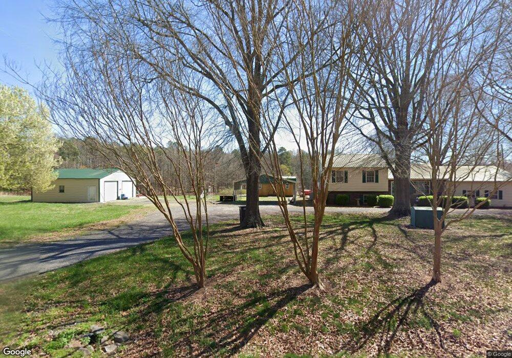
195 Kendall Rd Unit 201 Troutman, NC 28166
Estimated Value: $292,000 - $437,000
3
Beds
2
Baths
2,479
Sq Ft
$141/Sq Ft
Est. Value
About This Home
This home is located at 195 Kendall Rd Unit 201, Troutman, NC 28166 and is currently estimated at $350,237, approximately $141 per square foot. 195 Kendall Rd Unit 201 is a home located in Iredell County with nearby schools including Shepherd Elementary School, Troutman Middle School, and South Iredell High School.
Ownership History
Date
Name
Owned For
Owner Type
Purchase Details
Closed on
May 31, 2001
Sold by
Overcash Kenneth Taylor and Overcash Donna C
Bought by
Overcash Donnie D and Overcash Cheryl D
Current Estimated Value
Home Financials for this Owner
Home Financials are based on the most recent Mortgage that was taken out on this home.
Original Mortgage
$95,000
Outstanding Balance
$36,108
Interest Rate
7.11%
Estimated Equity
$314,129
Purchase Details
Closed on
Jun 1, 1977
Create a Home Valuation Report for This Property
The Home Valuation Report is an in-depth analysis detailing your home's value as well as a comparison with similar homes in the area
Home Values in the Area
Average Home Value in this Area
Purchase History
| Date | Buyer | Sale Price | Title Company |
|---|---|---|---|
| Overcash Donnie D | $93,765 | -- | |
| -- | $1,000 | -- |
Source: Public Records
Mortgage History
| Date | Status | Borrower | Loan Amount |
|---|---|---|---|
| Open | Overcash Donnie D | $95,000 |
Source: Public Records
Tax History Compared to Growth
Tax History
| Year | Tax Paid | Tax Assessment Tax Assessment Total Assessment is a certain percentage of the fair market value that is determined by local assessors to be the total taxable value of land and additions on the property. | Land | Improvement |
|---|---|---|---|---|
| 2024 | $1,258 | $203,070 | $43,060 | $160,010 |
| 2023 | $1,258 | $203,070 | $43,060 | $160,010 |
| 2022 | $1,094 | $164,710 | $32,290 | $132,420 |
| 2021 | $1,090 | $164,710 | $32,290 | $132,420 |
| 2020 | $1,090 | $164,710 | $32,290 | $132,420 |
| 2019 | $1,073 | $164,710 | $32,290 | $132,420 |
| 2018 | $935 | $147,860 | $30,500 | $117,360 |
| 2017 | $853 | $134,140 | $30,500 | $103,640 |
| 2016 | $853 | $134,140 | $30,500 | $103,640 |
| 2015 | $853 | $134,140 | $30,500 | $103,640 |
| 2014 | $723 | $111,480 | $30,500 | $80,980 |
Source: Public Records
Map
Nearby Homes
- 154 Winford Rd
- 286 Winford Rd
- 294 Winford Rd
- 279 Winford Rd
- 232 Sugar Hill Rd
- 212 Sugar Hill Rd
- 183 Sugar Hill Rd
- 122 Round Rock Rd
- 306 Fesperman Cir
- 658 Houston Rd
- 682 Houston Rd
- 200 Weatherstone Ranch Trail
- 154 Fairfield Dr
- 117 Carmine Ct
- 179 Crownpiece St
- 144 Fairfield Dr
- 171 Crownpiece St
- 276 Ostwalt Amity Rd
- 110 Weymouth Ave
- 126 Forbes Ln
- 207 Kendall Rd
- 214 Kendall Rd
- 216 Kendall Rd
- 212 Kendall Rd
- 172 Kendall Rd
- 210 Kendall Rd
- 194 Kendall Rd
- 157 Kendall Rd
- 150 Kendall Rd
- 119 Kendall Rd
- 135 Kendall Rd
- 119 Woodtree Ln
- 167 Bowers Farm Ln
- 108 Woodtree Ln
- 127 Tazmanian Dr
- 129 Woodtree Ln
- 139 Tazmanian Dr
- 126 Kendall Rd
- 102 Woodtree Ln
- 122 Woodtree Ln