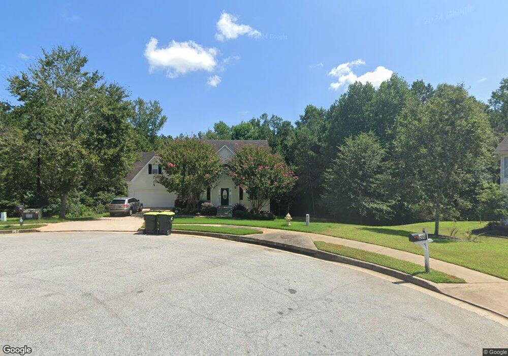
195 Long Dr Unit 2 Covington, GA 30016
Estimated Value: $290,631 - $324,000
4
Beds
2
Baths
2,096
Sq Ft
$147/Sq Ft
Est. Value
About This Home
This home is located at 195 Long Dr Unit 2, Covington, GA 30016 and is currently estimated at $307,158, approximately $146 per square foot. 195 Long Dr Unit 2 is a home located in Newton County with nearby schools including Live Oak Elementary School, Liberty Middle School, and Newton High School.
Ownership History
Date
Name
Owned For
Owner Type
Purchase Details
Closed on
Feb 20, 2018
Sold by
Vandem Llc
Bought by
Cerberus Sfr Holdings Lp
Current Estimated Value
Purchase Details
Closed on
Mar 22, 2013
Sold by
Real Passive Income Llc
Bought by
Vandem Llc
Purchase Details
Closed on
Jan 17, 2013
Sold by
Trustee Management Svcs In
Bought by
Real Passive Income Llc
Purchase Details
Closed on
Dec 11, 2012
Sold by
Sicard Gary
Bought by
Trustee Management Svcs Inc Tr and 195 Long Drive Trust
Create a Home Valuation Report for This Property
The Home Valuation Report is an in-depth analysis detailing your home's value as well as a comparison with similar homes in the area
Home Values in the Area
Average Home Value in this Area
Purchase History
| Date | Buyer | Sale Price | Title Company |
|---|---|---|---|
| Cerberus Sfr Holdings Lp | $143,402 | -- | |
| Vandem Llc | $120,000 | -- | |
| Real Passive Income Llc | $96,000 | -- | |
| Trustee Management Svcs Inc Tr | $65,000 | -- |
Source: Public Records
Tax History
| Year | Tax Paid | Tax Assessment Tax Assessment Total Assessment is a certain percentage of the fair market value that is determined by local assessors to be the total taxable value of land and additions on the property. | Land | Improvement |
|---|---|---|---|---|
| 2025 | $3,330 | $132,000 | $3,732 | $128,268 |
| 2024 | $3,389 | $132,000 | $3,732 | $128,268 |
| 2023 | $3,695 | $132,000 | $4,022 | $127,978 |
| 2022 | $2,771 | $100,440 | $7,200 | $93,240 |
| 2021 | $2,133 | $68,840 | $7,200 | $61,640 |
| 2020 | $2,152 | $62,720 | $7,200 | $55,520 |
| 2019 | $1,974 | $56,560 | $7,200 | $49,360 |
| 2018 | $2,010 | $57,240 | $7,200 | $50,040 |
| 2017 | $1,175 | $32,920 | $3,172 | $29,748 |
| 2016 | $1,175 | $32,920 | $3,172 | $29,748 |
| 2015 | $1,174 | $32,920 | $4,000 | $28,920 |
| 2014 | $1,170 | $32,920 | $0 | $0 |
Source: Public Records
Map
Nearby Homes
- 385 Creekview Blvd
- 280 Mackenzie Ct
- 1240 Kirkland Rd
- 230 Mackenzie Ct
- 230 Forest Brook Dr
- 230 Overlook Dr Unit 2
- 305 Shiver Blvd
- 105 Queensland Ln
- 230 Shiver Blvd
- 15 Joe Ewing Dr
- 385 Hinton Chase Pkwy
- 160 Julia Ann Ln
- 3789 Salem Rd
- 210 Mary Jane Ln
- 30 Pinewood Dr
- 257 Pinewood Dr
- 408 Pinewood Dr
- 200 Syracuse Ln
- 3315 Salem Cove Trail SE
- 3380 Salem Cove Way SE
- 195 Long Dr Unit 30
- 195 Long Dr
- 185 Long Dr
- 200 Long Dr
- 380 Long Dr
- 175 Long Dr
- 180 Long Dr
- 160 Long Dr
- 165 Long Dr
- 25 Kirkland Meadows
- 35 Kirkland Meadows
- 155 Long Dr
- 145 Long Dr
- 15 Kirkland Meadows
- 270 Creekview Blvd
- 135 Long Dr
- 260 Creekview Blvd
- 125 Long Dr
- 40 Kirkland Meadows
- 250 Creekview Blvd