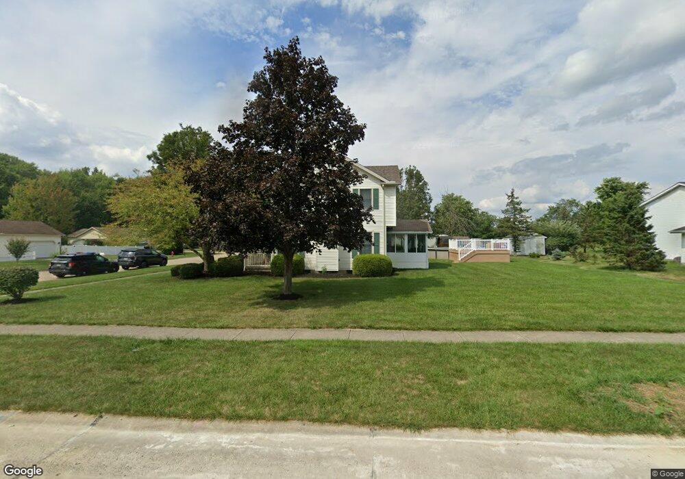
195 Loperwood Ln Lagrange, OH 44050
Estimated Value: $304,000 - $379,000
3
Beds
3
Baths
2,016
Sq Ft
$164/Sq Ft
Est. Value
About This Home
This home is located at 195 Loperwood Ln, Lagrange, OH 44050 and is currently estimated at $331,439, approximately $164 per square foot. 195 Loperwood Ln is a home located in Lorain County with nearby schools including Keystone Elementary School, Keystone Middle School, and Keystone High School.
Ownership History
Date
Name
Owned For
Owner Type
Purchase Details
Closed on
Sep 27, 1999
Sold by
Pasternak Thomas A
Bought by
Ross David J and Lias Kristin M
Current Estimated Value
Home Financials for this Owner
Home Financials are based on the most recent Mortgage that was taken out on this home.
Original Mortgage
$132,000
Interest Rate
7.93%
Create a Home Valuation Report for This Property
The Home Valuation Report is an in-depth analysis detailing your home's value as well as a comparison with similar homes in the area
Home Values in the Area
Average Home Value in this Area
Purchase History
| Date | Buyer | Sale Price | Title Company |
|---|---|---|---|
| Ross David J | $165,000 | Lorain County Title Co Inc |
Source: Public Records
Mortgage History
| Date | Status | Borrower | Loan Amount |
|---|---|---|---|
| Closed | Ross David J | $132,000 |
Source: Public Records
Tax History Compared to Growth
Tax History
| Year | Tax Paid | Tax Assessment Tax Assessment Total Assessment is a certain percentage of the fair market value that is determined by local assessors to be the total taxable value of land and additions on the property. | Land | Improvement |
|---|---|---|---|---|
| 2024 | $4,297 | $101,385 | $14,186 | $87,199 |
| 2023 | $4,109 | $80,973 | $12,292 | $68,681 |
| 2022 | $4,081 | $80,973 | $12,292 | $68,681 |
| 2021 | $4,083 | $80,973 | $12,292 | $68,681 |
| 2020 | $3,988 | $70,470 | $10,700 | $59,770 |
| 2019 | $3,966 | $70,470 | $10,700 | $59,770 |
| 2018 | $3,673 | $70,470 | $10,700 | $59,770 |
| 2017 | $3,518 | $60,650 | $9,880 | $50,770 |
| 2016 | $3,495 | $60,650 | $9,880 | $50,770 |
| 2015 | $3,490 | $60,650 | $9,880 | $50,770 |
| 2014 | $3,080 | $60,650 | $9,880 | $50,770 |
| 2013 | $2,987 | $60,650 | $9,880 | $50,770 |
Source: Public Records
Map
Nearby Homes
- 171 Keywood Blvd
- 128 Harvest Ct
- 433 N Center St
- 756 N Center St
- 516 Appomattox Ct
- 548 William St
- 40725 Biggs Rd
- 607 Rundle St
- 194 Railroad St
- 829 Robinson Dr
- 831 Robinson Dr
- 822 Robinson Dr
- 110 Railroad St
- 630 Rundle St
- 808 Buckingham Dr
- 800 Buckingham Dr
- 0 Dill Ct Unit 5072837
- 41635 Parsons Rd
- 40175 Banks Rd
- 19045 Whitehead Rd
- 191 Loperwood Ln
- 203 Loperwood Ln
- 608 Jenny Ln
- 187 Loperwood Ln
- 609 Jenny Ln
- 196 Loperwood Ln
- 207 Loperwood Ln
- 614 Jenny Ln
- 192 Loperwood Ln
- 200 Loperwood Ln
- 188 Loperwood Ln
- 183 Loperwood Ln
- 615 Jenny Ln
- 211 Loperwood Ln
- 184 Loperwood Ln
- 191 Keywood Blvd
- 191 Keywood Blvd Unit SL9
- 179 Loperwood Ln
- 187 Keywood Blvd
- 215 Loperwood Ln