Estimated Value: $312,000 - $629,000
3
Beds
2
Baths
1,924
Sq Ft
$214/Sq Ft
Est. Value
About This Home
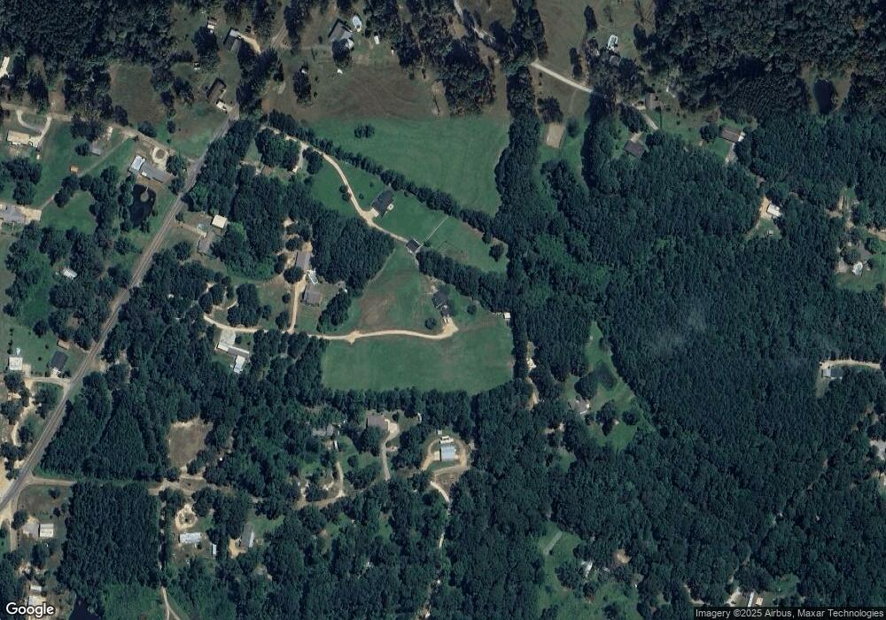
This home is located at 195 Memory Ln, Trout, LA 71371 and is currently estimated at $412,177, approximately $214 per square foot. 195 Memory Ln is a home.
Ownership History
Date
Name
Owned For
Owner Type
Purchase Details
Closed on
Aug 13, 2024
Sold by
Curry John Mack and Lynn Reeves Curry Kimberly
Bought by
Wilson Leamon Michael and Wilson Jennifer Renee
Current Estimated Value
Purchase Details
Closed on
Jan 31, 2020
Sold by
Spears John Luther and Spears Ashley W Banes
Bought by
Curry John and Curry Kimberly
Home Financials for this Owner
Home Financials are based on the most recent Mortgage that was taken out on this home.
Original Mortgage
$276,400
Interest Rate
3.72%
Mortgage Type
FHA
Purchase Details
Closed on
Dec 3, 2012
Sold by
Russell Rhonda Bradford Francis Prestridge
Bought by
Spears John Luther and Spears Ashley W Banes
Home Financials for this Owner
Home Financials are based on the most recent Mortgage that was taken out on this home.
Original Mortgage
$240,652
Interest Rate
3.41%
Mortgage Type
New Conventional
Create a Home Valuation Report for This Property
The Home Valuation Report is an in-depth analysis detailing your home's value as well as a comparison with similar homes in the area
Purchase History
| Date | Buyer | Sale Price | Title Company |
|---|---|---|---|
| Wilson Leamon Michael | $15,550 | None Listed On Document | |
| Curry John | $281,500 | None Available | |
| Spears John Luther | $245,000 | -- |
Source: Public Records
Mortgage History
| Date | Status | Borrower | Loan Amount |
|---|---|---|---|
| Previous Owner | Curry John | $276,400 | |
| Previous Owner | Spears John Luther | $240,652 |
Source: Public Records
Tax History
| Year | Tax Paid | Tax Assessment Tax Assessment Total Assessment is a certain percentage of the fair market value that is determined by local assessors to be the total taxable value of land and additions on the property. | Land | Improvement |
|---|---|---|---|---|
| 2024 | $2,917 | $22,159 | $228 | $21,931 |
| 2023 | $3,314 | $22,270 | $280 | $21,990 |
| 2022 | $3,314 | $22,270 | $280 | $21,990 |
| 2021 | $3,314 | $22,270 | $280 | $21,990 |
| 2020 | $3,510 | $22,270 | $280 | $21,990 |
| 2019 | $3,525 | $22,270 | $280 | $21,990 |
| 2018 | $3,525 | $22,270 | $280 | $21,990 |
| 2017 | $3,525 | $22,270 | $280 | $21,990 |
| 2016 | $3,525 | $22,270 | $280 | $21,990 |
| 2015 | $2,571 | $15,420 | $270 | $15,150 |
| 2013 | $2,571 | $15,420 | $270 | $15,150 |
Source: Public Records
Map
Nearby Homes
- 663 Foley Rd
- 724 Palmer Rd
- 555 Benelbie Rd
- 152 Tranquility Acres Unit LotWP001
- 000 Park
- 4160 S First St
- 1122 W Sharbono Rd
- 1115 Church St
- 755 Bellevue St
- 00 U S 84
- 0 US 84 U S 84
- 013 Carpenter St Unit 13
- 1 Carpenter Unit 1
- 010 Carpenter St Unit 10
- 011 Carpenter St Unit 11
- 306 Bellevue St
- 007 Carpenter St Unit 7
- 006 Carpenter St Unit 6
- 108 Meadowview St
- 14 Carpenter Unit 14
- 149 Scarlett Ln
- 249 Firetower Rd
- 130 Easy St
- 215 Firetower Rd
- 153 Memory Ln
- 937 Highway 773
- 181 Oggies Hill
- 969 Highway 773
- 223 Leonard Rd
- 276 Firetower Rd
- 891 Highway 773 St
- 147 Cooney Cove
- 260 Leonard Rd
- 224 Leonard Rd
- 170 Firetower Rd
- 922 Highway 773
- 922 Louisiana 773
- 109 Fellowship Rd
- 176 Leonard Rd
- 908 Highway 773
