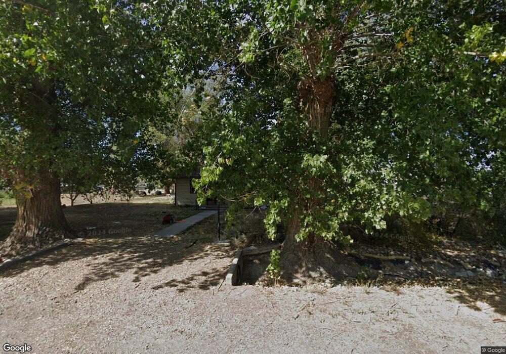
195 N 100 W Hinckley, UT 84635
Estimated Value: $236,000 - $336,000
3
Beds
2
Baths
1,452
Sq Ft
$187/Sq Ft
Est. Value
About This Home
This home is located at 195 N 100 W, Hinckley, UT 84635 and is currently estimated at $271,542, approximately $187 per square foot. 195 N 100 W is a home located in Millard County.
Ownership History
Date
Name
Owned For
Owner Type
Purchase Details
Closed on
Feb 27, 2021
Sold by
Bishop David C
Bought by
Herrera Edith R
Current Estimated Value
Home Financials for this Owner
Home Financials are based on the most recent Mortgage that was taken out on this home.
Original Mortgage
$166,666
Outstanding Balance
$148,724
Interest Rate
2.7%
Mortgage Type
New Conventional
Estimated Equity
$122,818
Purchase Details
Closed on
Jan 8, 2021
Sold by
Bishop Launa
Bought by
David & Launa Bishop Family Trust and Bishop
Home Financials for this Owner
Home Financials are based on the most recent Mortgage that was taken out on this home.
Original Mortgage
$166,666
Outstanding Balance
$148,724
Interest Rate
2.7%
Mortgage Type
New Conventional
Estimated Equity
$122,818
Create a Home Valuation Report for This Property
The Home Valuation Report is an in-depth analysis detailing your home's value as well as a comparison with similar homes in the area
Home Values in the Area
Average Home Value in this Area
Purchase History
| Date | Buyer | Sale Price | Title Company |
|---|---|---|---|
| Herrera Edith R | -- | None Available | |
| David & Launa Bishop Family Trust | -- | -- |
Source: Public Records
Mortgage History
| Date | Status | Borrower | Loan Amount |
|---|---|---|---|
| Open | Herrera Edith R | $166,666 |
Source: Public Records
Tax History Compared to Growth
Tax History
| Year | Tax Paid | Tax Assessment Tax Assessment Total Assessment is a certain percentage of the fair market value that is determined by local assessors to be the total taxable value of land and additions on the property. | Land | Improvement |
|---|---|---|---|---|
| 2025 | $1,193 | $142,245 | $17,152 | $125,093 |
| 2024 | $1,193 | $133,495 | $6,746 | $126,749 |
| 2023 | $1,399 | $133,495 | $6,746 | $126,749 |
| 2022 | $1,009 | $85,326 | $6,133 | $79,193 |
| 2021 | $828 | $66,728 | $5,111 | $61,617 |
| 2020 | $709 | $57,198 | $4,868 | $52,330 |
| 2019 | $698 | $56,843 | $4,868 | $51,975 |
| 2018 | $685 | $57,198 | $4,868 | $52,330 |
| 2017 | $716 | $57,335 | $4,868 | $52,467 |
| 2016 | $685 | $57,335 | $4,868 | $52,467 |
| 2015 | $636 | $53,025 | $4,868 | $48,157 |
| 2014 | -- | $53,025 | $4,868 | $48,157 |
| 2013 | -- | $51,622 | $4,868 | $46,754 |
Source: Public Records
Map
Nearby Homes
- 168 N 100 Rd W
- 289 W Center St S
- 6500 W 2000 S
- 1040 W Center St
- 700 Acres
- 1500 S 10000 W
- 6000 N 10000 W
- 700 Acres Hwy 6 & Main St (Hwy 50)
- 2000 E 10500 N
- 6200 S 3000 W
- 3480 S 4000 W
- 3770 S 4000 Rd W
- 0 Tbd 3000 Rd S Unit LotWP001
- 6177 S 3000 Rd W
- 3885 W 4500 S
- 17000 W 2500 Rd S
- 16700 W 2500 South Rd
- 16800 W 2500 South Rd
- 470 S 2750 W Unit 6
- 460 S 2750 W Unit 7
