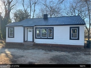

$1,400
- 3 Beds
- 1.5 Baths
- 1,583 Sq Ft
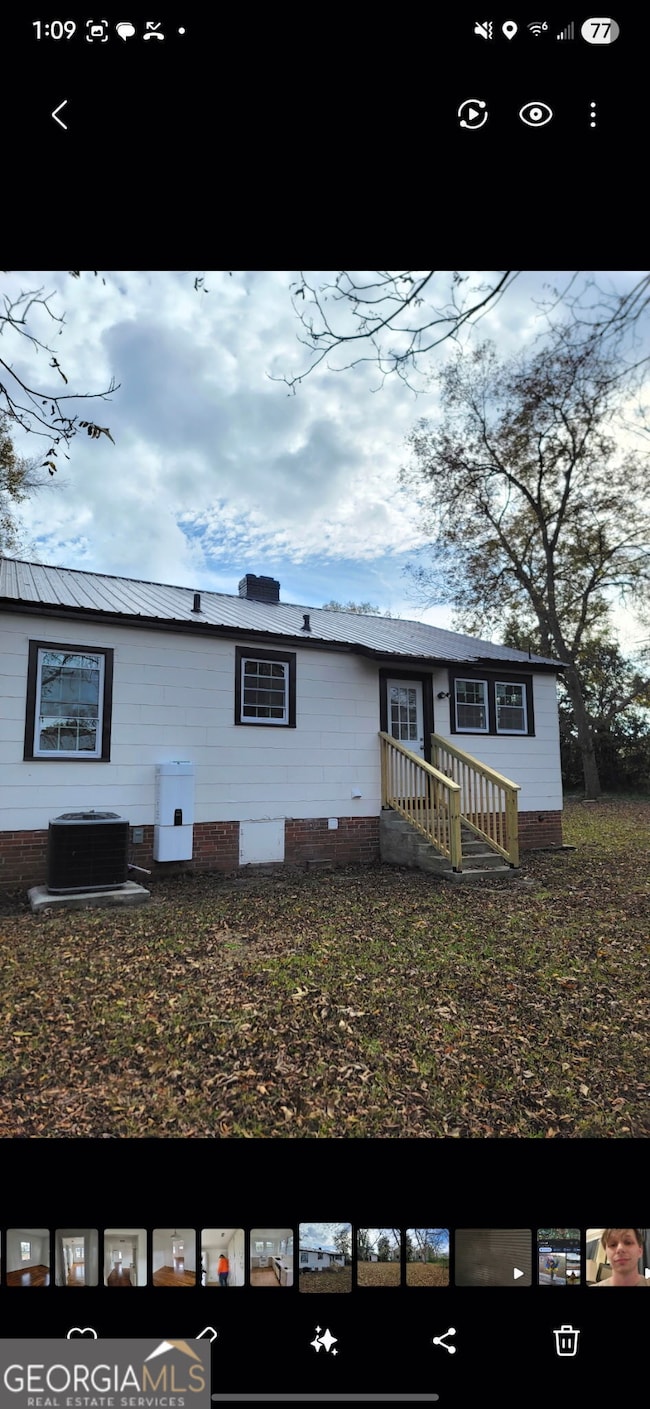
- 184 Pecan Dr
- Hartwell, GA
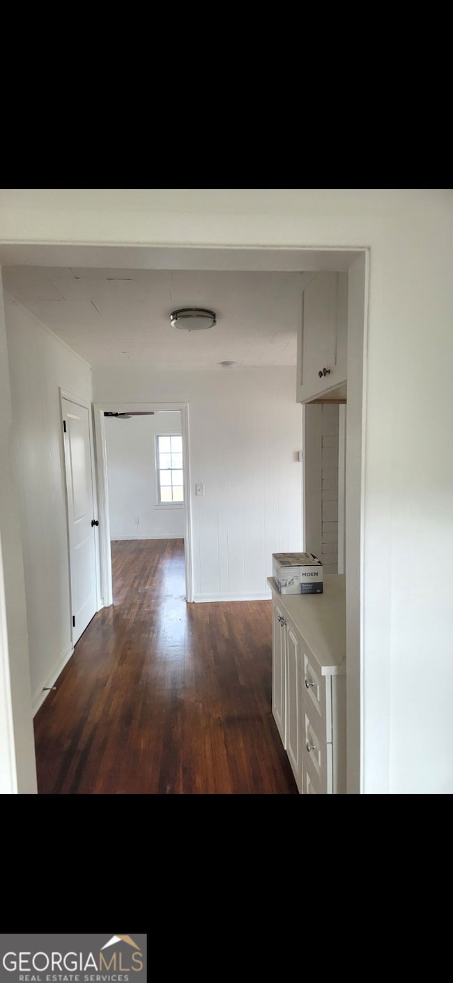
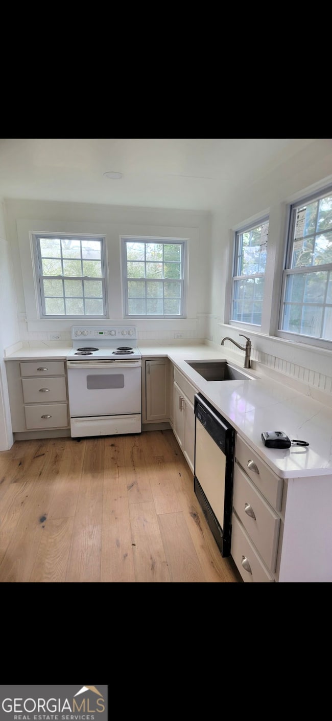
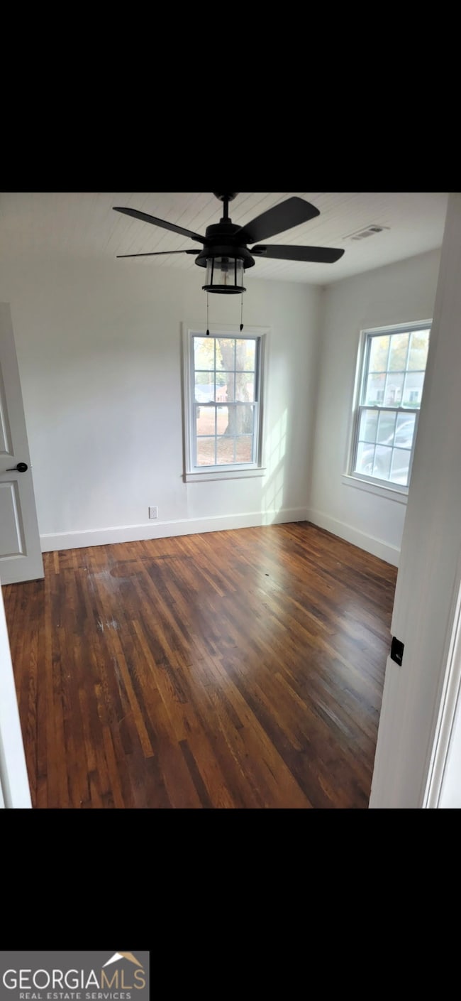
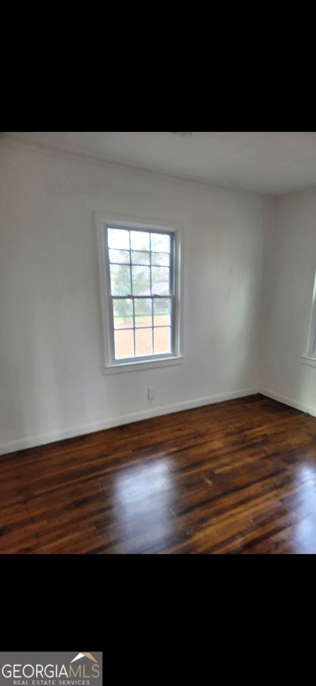
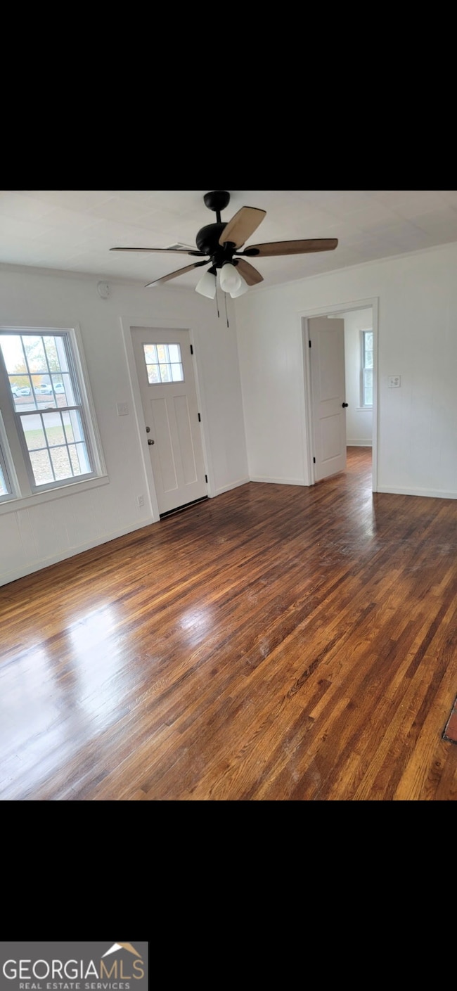
Located in the city limits of Hartwell a spacious 3 bedroom 1.5 bath. This home has a sunroom and a fenced back yard. This home is minutes from all Hartwell has to offer. All tenants 18 years and older must submit to credit and criminal background check. NO PETS and NO SMOKING
Angela McGee Hartland Farm and Home Realty