Estimated Value: $274,000 - $825,015
Studio
--
Bath
840
Sq Ft
$756/Sq Ft
Est. Value
About This Home
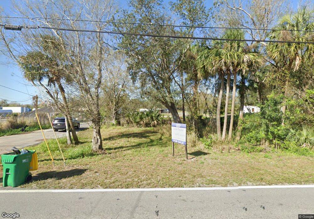
This home is located at 195 N Range Rd, Cocoa, FL 32926 and is currently estimated at $634,672, approximately $755 per square foot. 195 N Range Rd is a home located in Brevard County with nearby schools including Saturn Elementary School, Cocoa High School, and Emma Jewel Charter Academy.
Ownership History
Date
Name
Owned For
Owner Type
Purchase Details
Closed on
Sep 30, 2024
Sold by
Huynh Son Thanh and Kim Diep
Bought by
Merritt Island Commercial Center Inc
Current Estimated Value
Purchase Details
Closed on
Jun 26, 2019
Sold by
Elmore Veronica L
Bought by
Bach Huynh Son Thanh and Bach Kim Diep
Purchase Details
Closed on
Feb 14, 2019
Sold by
Elmore Harvey L
Bought by
Elmore Veronica L
Purchase Details
Closed on
Nov 15, 2000
Sold by
Paterson Judith Mills and Mills Judith L
Bought by
Acuff Dennis D and Elmore Harvey L
Home Financials for this Owner
Home Financials are based on the most recent Mortgage that was taken out on this home.
Original Mortgage
$46,000
Interest Rate
7.82%
Create a Home Valuation Report for This Property
The Home Valuation Report is an in-depth analysis detailing your home's value as well as a comparison with similar homes in the area
Home Values in the Area
Average Home Value in this Area
Purchase History
| Date | Buyer | Sale Price | Title Company |
|---|---|---|---|
| Merritt Island Commercial Center Inc | $810,000 | Mangrove Title | |
| Bach Huynh Son Thanh | $100,000 | Precision Ttl Of Suncoast In | |
| Bach Huynh Son Thanh | $100,000 | Precision Ttl Of Suncoast In | |
| Elmore Veronica L | -- | Attorney | |
| Acuff Dennis D | $71,000 | -- |
Source: Public Records
Mortgage History
| Date | Status | Borrower | Loan Amount |
|---|---|---|---|
| Previous Owner | Acuff Dennis D | $46,000 |
Source: Public Records
Tax History
| Year | Tax Paid | Tax Assessment Tax Assessment Total Assessment is a certain percentage of the fair market value that is determined by local assessors to be the total taxable value of land and additions on the property. | Land | Improvement |
|---|---|---|---|---|
| 2025 | $3,468 | $648,650 | -- | -- |
| 2024 | $3,298 | $207,980 | -- | -- |
| 2023 | $3,298 | $191,050 | -- | -- |
| 2022 | $3,029 | $177,600 | $0 | $0 |
| 2021 | $3,136 | $175,030 | $155,310 | $19,720 |
| 2020 | $3,081 | $174,350 | $155,310 | $19,040 |
| 2019 | $2,859 | $173,830 | $155,310 | $18,520 |
| 2018 | $2,813 | $173,360 | $155,310 | $18,050 |
| 2017 | $2,643 | $150,600 | $134,720 | $15,880 |
| 2016 | $2,648 | $150,950 | $134,720 | $16,230 |
| 2015 | $2,179 | $93,970 | $78,540 | $15,430 |
| 2014 | $2,164 | $91,800 | $78,540 | $13,260 |
Source: Public Records
Map
Nearby Homes
- 2409 Granger Rd
- 2472 Victor Rd
- 695 Lantana St
- 2511 Hathaway Dr
- 2442 Dianne Dr
- 2475 Mercury Dr
- 2509 Cocoanut Dr
- 472 Carley Ln
- 766 Lunar Lake Cir
- 764 Lunar Lake Cir
- 408 Stowe Ln
- 717 Lunar Lake Cir
- 703 Venus Dr
- 1301 N Range Rd
- 1703 Spartan St Unit SRO737
- 369 Western Ave
- 242 A Ln
- 1628 Sue Dr Unit B
- 0000 N Range Rd
- 225 A Ln
- 185 N Range Rd
- 0 Gray Rd
- 221 Martino Way
- 971 Tupelo Cir
- 280 N Range Rd
- 201 Martino Way
- 155 N Range Rd
- 0001 N Range Rd
- 0003 N Range Rd
- 2495 Lake Dr
- 0002 N Range Rd
- 0 Lake Dr Unit 528389
- 0 Lake Dr Unit 551209
- 0 Lake Dr Unit 561352
- 0 Lake Dr Unit 568161
- 0 Lake Dr Unit 594426
- 0 Lake Dr Unit 597385
- 0 Lake Dr Unit 633075
- 0 Lake Dr Unit 679595
- 0 Lake Dr Unit 726562
Your Personal Tour Guide
Ask me questions while you tour the home.