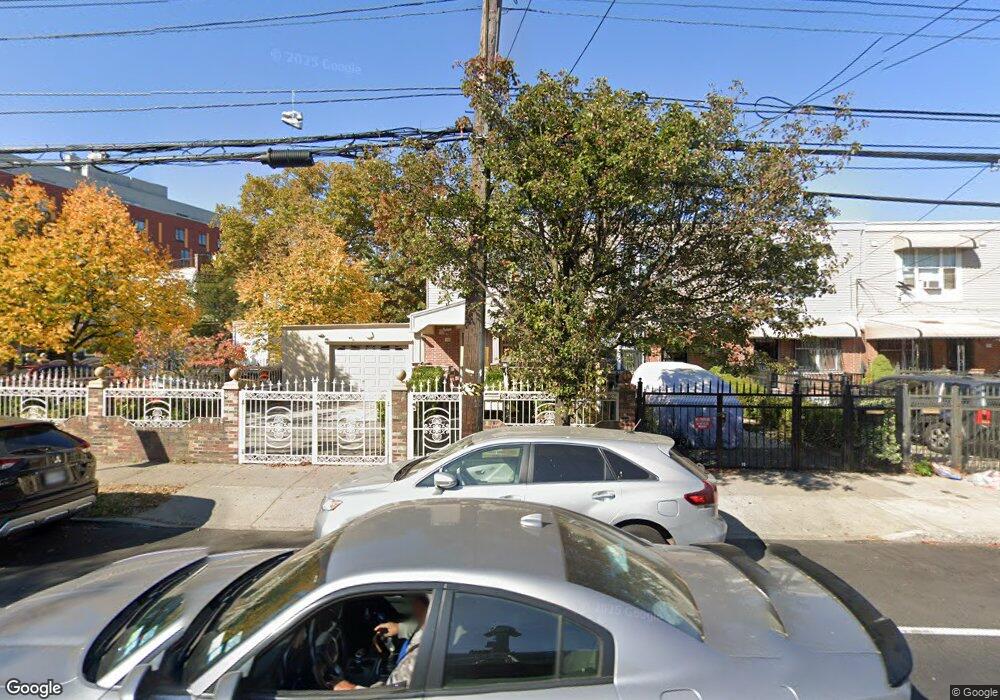
195 New Lots Ave Brooklyn, NY 11207
Brownsville NeighborhoodEstimated Value: $618,443 - $743,000
--
Bed
--
Bath
1,332
Sq Ft
$515/Sq Ft
Est. Value
About This Home
This home is located at 195 New Lots Ave, Brooklyn, NY 11207 and is currently estimated at $685,611, approximately $514 per square foot. 195 New Lots Ave is a home located in Kings County with nearby schools including P.S. 190 - Sheffield, Achievement First - East New York School, and Hyde Leadership Charter School-Brooklyn.
Ownership History
Date
Name
Owned For
Owner Type
Purchase Details
Closed on
Mar 24, 2004
Sold by
Nehemiah Housing Development Fund Compan
Bought by
Alcide Adler
Current Estimated Value
Home Financials for this Owner
Home Financials are based on the most recent Mortgage that was taken out on this home.
Original Mortgage
$63,000
Interest Rate
5.6%
Mortgage Type
Purchase Money Mortgage
Create a Home Valuation Report for This Property
The Home Valuation Report is an in-depth analysis detailing your home's value as well as a comparison with similar homes in the area
Home Values in the Area
Average Home Value in this Area
Purchase History
| Date | Buyer | Sale Price | Title Company |
|---|---|---|---|
| Alcide Adler | $113,000 | -- | |
| Alcide Adler | $113,000 | -- |
Source: Public Records
Mortgage History
| Date | Status | Borrower | Loan Amount |
|---|---|---|---|
| Previous Owner | Alcide Adler | $63,000 |
Source: Public Records
Tax History Compared to Growth
Tax History
| Year | Tax Paid | Tax Assessment Tax Assessment Total Assessment is a certain percentage of the fair market value that is determined by local assessors to be the total taxable value of land and additions on the property. | Land | Improvement |
|---|---|---|---|---|
| 2025 | $5,938 | $37,320 | $15,360 | $21,960 |
| 2024 | $5,938 | $38,400 | $15,360 | $23,040 |
| 2023 | $5,499 | $42,120 | $15,360 | $26,760 |
| 2022 | $4,559 | $37,380 | $15,360 | $22,020 |
| 2021 | $4,489 | $34,020 | $15,360 | $18,660 |
| 2020 | $3,902 | $29,400 | $15,360 | $14,040 |
| 2019 | $3,543 | $27,960 | $15,360 | $12,600 |
| 2018 | $3,096 | $25,609 | $10,677 | $14,932 |
| 2017 | $2,624 | $24,160 | $10,131 | $14,029 |
| 2016 | $2,003 | $22,794 | $8,765 | $14,029 |
| 2015 | $614 | $21,504 | $7,475 | $14,029 |
| 2014 | $614 | $21,504 | $7,475 | $14,029 |
Source: Public Records
Map
Nearby Homes
- 442 Newport St
- 584 Hinsdale St
- 589 Hinsdale St
- 541 Hinsdale St
- 582 Williams Ave
- 578 Williams Ave
- 533 Snediker Ave
- 576 Williams Ave
- 650 Williams Ave
- 660 Williams Ave Unit 142
- 610 Alabama Ave
- 606 Alabama Ave
- 563 Powell St
- 1753 Linden Blvd
- 1755 Linden Blvd
- 546 Powell St
- 699 Sackman St
- 1825 Linden Blvd
- 679 Georgia Ave
- 555 Christopher Ave
- 201 New Lots Ave
- 203 New Lots Ave
- 205 New Lots Ave
- 205 New Lots Ave Unit Building
- 207 New Lots Ave
- 607 Snediker Ave
- 209 New Lots Ave
- 605 Snediker Ave
- 211 New Lots Ave
- 618 Snediker Ave
- 614 Snediker Ave
- 620 Snediker Ave
- 601 Snediker Ave
- 622 Snediker Ave
- 213 New Lots Ave
- 610 Snediker Ave
- 608 Snediker Ave
- 215 New Lots Ave
- 599 Snediker Ave
- 626 Snediker Ave