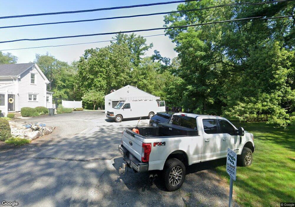
195 Perry Hill Rd Acushnet, MA 02743
Upper Acushnet NeighborhoodEstimated Value: $623,491 - $670,000
4
Beds
4
Baths
2,289
Sq Ft
$284/Sq Ft
Est. Value
About This Home
This home is located at 195 Perry Hill Rd, Acushnet, MA 02743 and is currently estimated at $649,623, approximately $283 per square foot. 195 Perry Hill Rd is a home located in Bristol County with nearby schools including Acushnet Elementary School, Albert F Ford Middle School, and St Francis Xavier Elementary School.
Ownership History
Date
Name
Owned For
Owner Type
Purchase Details
Closed on
Jul 31, 2017
Sold by
Lienard John L
Bought by
Lienard John L and Lienard Joanne
Current Estimated Value
Purchase Details
Closed on
Sep 4, 2015
Sold by
Lienard John and Lienard Susan
Bought by
Lienard John L
Purchase Details
Closed on
Jan 21, 2010
Sold by
Lienard John L
Bought by
Lienard Susan and Lienard John
Home Financials for this Owner
Home Financials are based on the most recent Mortgage that was taken out on this home.
Original Mortgage
$204,045
Interest Rate
4.79%
Mortgage Type
Purchase Money Mortgage
Purchase Details
Closed on
Jul 14, 2005
Sold by
Lienard John L
Bought by
Mello Brian and Mello Cindy
Purchase Details
Closed on
Oct 13, 2004
Sold by
Beaulieu Florence
Bought by
Lienard John L
Create a Home Valuation Report for This Property
The Home Valuation Report is an in-depth analysis detailing your home's value as well as a comparison with similar homes in the area
Home Values in the Area
Average Home Value in this Area
Purchase History
| Date | Buyer | Sale Price | Title Company |
|---|---|---|---|
| Lienard John L | -- | -- | |
| Lienard John L | -- | -- | |
| Lienard Susan | -- | -- | |
| Mello Brian | $180,000 | -- | |
| Lienard John L | $325,000 | -- |
Source: Public Records
Mortgage History
| Date | Status | Borrower | Loan Amount |
|---|---|---|---|
| Previous Owner | Lienard John L | $256,500 | |
| Previous Owner | Lienard John L | $198,000 | |
| Previous Owner | Lienard John L | $204,045 |
Source: Public Records
Tax History Compared to Growth
Tax History
| Year | Tax Paid | Tax Assessment Tax Assessment Total Assessment is a certain percentage of the fair market value that is determined by local assessors to be the total taxable value of land and additions on the property. | Land | Improvement |
|---|---|---|---|---|
| 2025 | $55 | $507,400 | $173,700 | $333,700 |
| 2024 | $5,347 | $468,600 | $164,600 | $304,000 |
| 2023 | $5,070 | $422,500 | $149,300 | $273,200 |
| 2022 | $5,210 | $392,600 | $140,300 | $252,300 |
| 2021 | $4,766 | $344,600 | $140,300 | $204,300 |
| 2020 | $4,678 | $335,600 | $131,300 | $204,300 |
| 2019 | $2,738 | $314,300 | $125,300 | $189,000 |
| 2018 | $0 | $298,200 | $125,300 | $172,900 |
| 2017 | $0 | $288,200 | $125,300 | $162,900 |
| 2016 | $3,955 | $272,200 | $125,300 | $146,900 |
| 2015 | $3,714 | $260,100 | $125,300 | $134,800 |
Source: Public Records
Map
Nearby Homes
- 57 Perry Hill Rd
- 661 Main St
- 293 Mendall Rd
- 0 Confidential Way Unit 73340085
- 363 Main St
- 649 Middle Rd
- 0 Rounseville Rd
- 1 Clems Way
- 16 Brookside Dr
- 1 Rounseville Rd
- 224 North St
- 225 Mattapoisett Rd
- 16 Morses Ln
- 3 Morses Ln
- 7 Morses Ln
- 7 Laura Ln
- 21 Robinson Rd
- 0 Long Plain Rd
- 33 Harbeck St
- 8 Abby Ln
- 196 Perry Hill Rd
- 205 Perry Hill Rd
- 192 Perry Hill Rd
- 181 Perry Hill Rd
- 181 Perry Hill Rd Unit n/a
- 7 Gammons Rd
- 11 Gammons Rd
- 19 Gammons Rd
- 0 Gammons Rd
- 00 Gammons Rd
- 0 Gammons Rd Unit 71722870
- 194 Perry Hill Rd
- 171 Perry Hill Rd
- 180 Perry Hill Rd
- 4 Gammons Rd
- 2 Gammons Rd
- 23 Gammons Rd
- 16 Gammons Rd
- 29 Gammons Rd
- 229 Perry Hill Rd