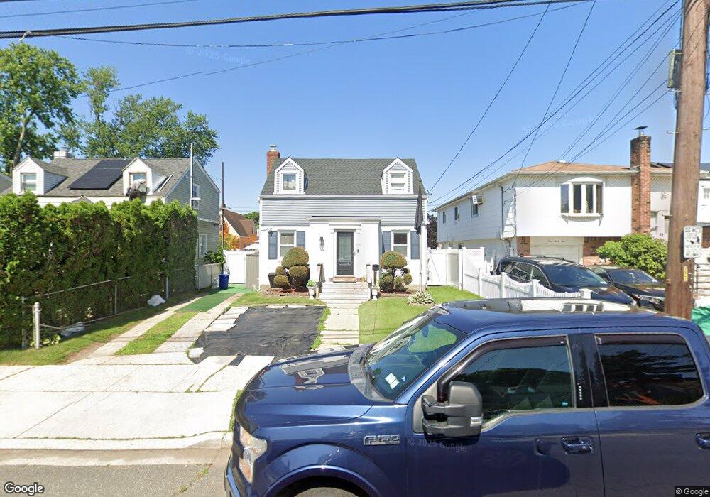
195 Perry St Hempstead, NY 11550
Estimated Value: $634,000 - $661,354
3
Beds
2
Baths
1,260
Sq Ft
$514/Sq Ft
Est. Value
About This Home
This home is located at 195 Perry St, Hempstead, NY 11550 and is currently estimated at $647,677, approximately $514 per square foot. 195 Perry St is a home located in Nassau County with nearby schools including Northern Parkway Elementary School, Lawrence Road Middle School, and Uniondale High School.
Ownership History
Date
Name
Owned For
Owner Type
Purchase Details
Closed on
Mar 28, 2016
Sold by
Abrahams Kevan
Bought by
Moore Kevin and Moore Helima
Current Estimated Value
Home Financials for this Owner
Home Financials are based on the most recent Mortgage that was taken out on this home.
Original Mortgage
$253,326
Outstanding Balance
$199,532
Interest Rate
3.75%
Mortgage Type
FHA
Estimated Equity
$448,145
Purchase Details
Closed on
Apr 15, 2002
Sold by
Dale Peter M
Bought by
Abrahams Kevan
Create a Home Valuation Report for This Property
The Home Valuation Report is an in-depth analysis detailing your home's value as well as a comparison with similar homes in the area
Home Values in the Area
Average Home Value in this Area
Purchase History
| Date | Buyer | Sale Price | Title Company |
|---|---|---|---|
| Moore Kevin | $258,000 | None Available | |
| Abrahams Kevan | $174,000 | Jeffrey Toback |
Source: Public Records
Mortgage History
| Date | Status | Borrower | Loan Amount |
|---|---|---|---|
| Open | Moore Kevin | $253,326 |
Source: Public Records
Tax History
| Year | Tax Paid | Tax Assessment Tax Assessment Total Assessment is a certain percentage of the fair market value that is determined by local assessors to be the total taxable value of land and additions on the property. | Land | Improvement |
|---|---|---|---|---|
| 2025 | $6,509 | $374 | $121 | $253 |
| 2024 | $956 | $374 | $121 | $253 |
| 2023 | $5,524 | $374 | $121 | $253 |
| 2022 | $5,524 | $374 | $121 | $253 |
| 2021 | $7,663 | $356 | $115 | $241 |
| 2020 | $5,187 | $440 | $408 | $32 |
| 2019 | $4,700 | $436 | $408 | $28 |
| 2018 | $4,475 | $436 | $0 | $0 |
| 2017 | $3,401 | $436 | $408 | $28 |
| 2016 | $4,150 | $436 | $313 | $123 |
| 2015 | $914 | $569 | $408 | $161 |
| 2014 | $914 | $569 | $408 | $161 |
| 2013 | $836 | $569 | $408 | $161 |
Source: Public Records
Map
Nearby Homes
- 183 Perry St
- 355 Jerusalem Ave
- 203 Rutland Rd
- 178 Rutland Rd
- 363 Clarendon Rd
- 399 Hawthorne Ave
- 63 Elmwood Ave
- 41 Perry St
- 602 Leonard Ave
- 678 Front St Unit E
- 676 Front St Unit F
- 132 Duncan Rd
- 21 Dikeman St
- 14 Roger St
- 119 Broadfield Rd
- 664 Clinton Ave
- 122 Hamilton Rd
- 43 Macdonald St
- 17 Hope St
- 27 Elizabeth Ct
Your Personal Tour Guide
Ask me questions while you tour the home.