Estimated Value: $151,000 - $241,398
3
Beds
2
Baths
1,959
Sq Ft
$105/Sq Ft
Est. Value
About This Home
This home is located at 195 Power Line Dr, Jesup, GA 31545 and is currently estimated at $206,600, approximately $105 per square foot. 195 Power Line Dr is a home located in Wayne County with nearby schools including Jesup Elementary School, Arthur Williams Middle School, and Wayne County High School.
Ownership History
Date
Name
Owned For
Owner Type
Purchase Details
Closed on
Oct 26, 2018
Sold by
Fail Mary E
Bought by
Snook Cierra J
Current Estimated Value
Home Financials for this Owner
Home Financials are based on the most recent Mortgage that was taken out on this home.
Original Mortgage
$82,828
Outstanding Balance
$72,682
Interest Rate
4.7%
Mortgage Type
New Conventional
Estimated Equity
$133,918
Purchase Details
Closed on
May 20, 2005
Sold by
Sec Of Hud
Bought by
Fail Mary E
Purchase Details
Closed on
Aug 1, 2004
Bought by
Department Of Housing & Urban Developmen
Purchase Details
Closed on
Sep 1, 1995
Purchase Details
Closed on
Aug 1, 1992
Purchase Details
Closed on
Feb 1, 1980
Purchase Details
Closed on
Dec 1, 1979
Purchase Details
Closed on
Dec 1, 1974
Create a Home Valuation Report for This Property
The Home Valuation Report is an in-depth analysis detailing your home's value as well as a comparison with similar homes in the area
Home Values in the Area
Average Home Value in this Area
Purchase History
| Date | Buyer | Sale Price | Title Company |
|---|---|---|---|
| Snook Cierra J | $82,000 | -- | |
| Fail Mary E | $44,000 | -- | |
| Department Of Housing & Urban Developmen | -- | -- | |
| -- | -- | -- | |
| -- | $51,900 | -- | |
| -- | -- | -- | |
| -- | -- | -- | |
| -- | $34,900 | -- | |
| -- | -- | -- | |
| -- | -- | -- |
Source: Public Records
Mortgage History
| Date | Status | Borrower | Loan Amount |
|---|---|---|---|
| Open | Snook Cierra J | $82,828 |
Source: Public Records
Tax History Compared to Growth
Tax History
| Year | Tax Paid | Tax Assessment Tax Assessment Total Assessment is a certain percentage of the fair market value that is determined by local assessors to be the total taxable value of land and additions on the property. | Land | Improvement |
|---|---|---|---|---|
| 2024 | $1,526 | $62,608 | $8,320 | $54,288 |
| 2023 | $881 | $53,004 | $5,452 | $47,552 |
| 2022 | $1,214 | $43,573 | $5,452 | $38,121 |
| 2021 | $1,182 | $40,058 | $5,452 | $34,606 |
| 2020 | $1,191 | $39,149 | $4,543 | $34,606 |
| 2019 | $999 | $39,149 | $4,543 | $34,606 |
| 2018 | $1,406 | $39,149 | $4,543 | $34,606 |
| 2017 | $1,211 | $39,149 | $4,543 | $34,606 |
| 2016 | $1,171 | $39,149 | $4,543 | $34,606 |
| 2014 | $1,174 | $39,149 | $4,543 | $34,606 |
| 2013 | -- | $39,148 | $4,542 | $34,606 |
Source: Public Records
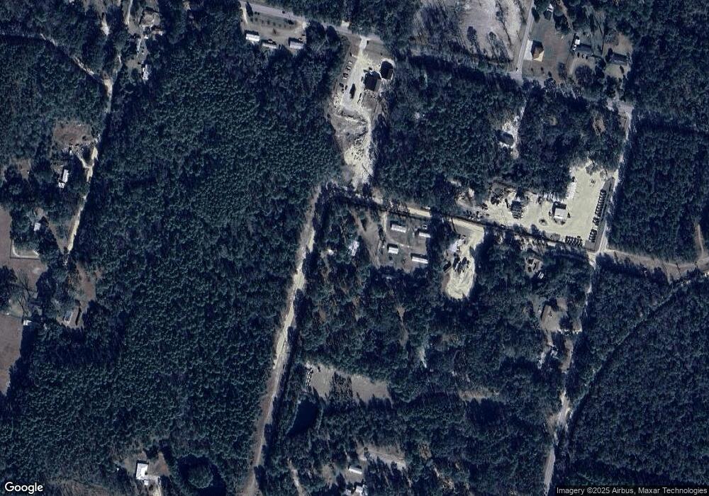
Map
Nearby Homes
- 00 Dogwood Extension
- 0 Aspen Rd
- 105 N Bay St
- 2 Altamaha Rd
- 1270 Oak St
- 1 Altamaha Rd
- 629 Sierra Rd
- 0 Oak St
- 0 Shrine Club Rd Unit 163602
- 888 Altamaha Rd
- 391 Rodman Rd
- 0 Golf Rd
- 404 River Ridge Cir
- 24 Sangster Rd
- 50 Sangster Rd
- 290 Rodman Rd
- 149 Transit Rd
- 0000 Lakeview Dr
- 00 Lakeview Dr
- 2606 Beechwood Dr
- 329 Power Line Dr
- 85 Power Line Dr
- 511 Dogwood Extension
- 59 Power Line Dr
- 575 Dogwood Extension
- 163 Sunflower Loop
- 3558 Rayonier Rd
- 3314 Rayonier Rd
- 611 Dogwood Extension
- 545 Dogwood Extension
- 3393 Rayonier Rd
- 3222 Rayonier Rd
- 30 Riverside Dr
- 3545 Rayonier Rd
- 34 Riverside Dr
- 280 Ashley Ln
- 60 Riverside Dr
- 27 Ashley Ln
- On Sunflower Loop
- 220 Ashley Ln