195 Rte 149 Unit 4 Barnstable, MA 02648
Marstons Mills NeighborhoodEstimated Value: $716,000 - $845,000
2
Beds
2
Baths
2,017
Sq Ft
$394/Sq Ft
Est. Value
About This Home
This home is located at 195 Rte 149 Unit 4, Barnstable, MA 02648 and is currently estimated at $794,062, approximately $393 per square foot. 195 Rte 149 Unit 4 is a home located in Barnstable County with nearby schools including West Villages Elementary School, Barnstable United Elementary School, and Barnstable Intermediate School.
Ownership History
Date
Name
Owned For
Owner Type
Purchase Details
Closed on
May 16, 2002
Sold by
Herring Run Dev Tr and Dacey
Bought by
Ryshavy Barbara A
Current Estimated Value
Home Financials for this Owner
Home Financials are based on the most recent Mortgage that was taken out on this home.
Original Mortgage
$150,000
Outstanding Balance
$64,318
Interest Rate
7.15%
Mortgage Type
Purchase Money Mortgage
Estimated Equity
$729,744
Create a Home Valuation Report for This Property
The Home Valuation Report is an in-depth analysis detailing your home's value as well as a comparison with similar homes in the area
Home Values in the Area
Average Home Value in this Area
Purchase History
| Date | Buyer | Sale Price | Title Company |
|---|---|---|---|
| Ryshavy Barbara A | $322,000 | -- |
Source: Public Records
Mortgage History
| Date | Status | Borrower | Loan Amount |
|---|---|---|---|
| Open | Ryshavy Barbara A | $150,000 |
Source: Public Records
Tax History Compared to Growth
Tax History
| Year | Tax Paid | Tax Assessment Tax Assessment Total Assessment is a certain percentage of the fair market value that is determined by local assessors to be the total taxable value of land and additions on the property. | Land | Improvement |
|---|---|---|---|---|
| 2025 | $6,048 | $747,600 | $0 | $747,600 |
| 2024 | $6,151 | $787,600 | $0 | $787,600 |
| 2023 | $4,319 | $517,900 | $0 | $517,900 |
| 2022 | $4,215 | $437,200 | $0 | $437,200 |
| 2021 | $4,521 | $431,000 | $0 | $431,000 |
| 2020 | $4,608 | $420,400 | $0 | $420,400 |
| 2019 | $4,795 | $425,100 | $0 | $425,100 |
| 2018 | $4,604 | $410,300 | $0 | $410,300 |
| 2017 | $4,355 | $404,700 | $0 | $404,700 |
| 2016 | $4,411 | $404,700 | $0 | $404,700 |
| 2015 | $4,006 | $369,200 | $0 | $369,200 |
Source: Public Records
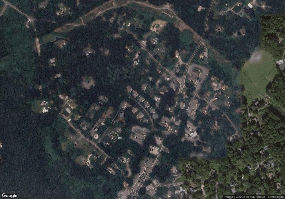
Map
Nearby Homes
- 100 River Rd
- 544 Cotuit (Route-149) Rd
- 3040 Falmouth Rd Unit H
- 3040 Falmouth Rd Unit H
- 49 Burnham St
- 24 Indigo Ln
- 5 Conaumet Rd
- 431 Baxters Neck Rd
- 152 Wakeby Rd
- 60 Smoke Valley Rd
- 9 Tarragon Cir
- 359 Baxter Neck Rd
- 17 Claus Way
- 15 Geraldine Rd
- 24 Bay Rd
- 38 Lakeside Dr
- 128 Lakeside Dr
- 158 Lakeside Dr
- 78 Brittany Dr
- 783 Santuit-Newtown Rd
- 195 Rte 149 Unit E
- 195 Massachusetts 149 Unit A
- 195 Massachusetts 149
- 195 Rte 149 Unit B
- 195 Rte 149 Unit G
- 195 Rte 149 Unit C
- 195 Rte 149 Unit 2
- 195 Rte 149 Unit 9
- 195 Rte 149 Unit 6
- 195 Rte 149 Unit 8
- 195 Rte 149 Unit 1
- 195 Rte 149 Unit 3
- 195 Rte 149 Unit 5
- 195 Rte 149 Unit 7
- 195 Massachusetts 149 Unit 1
- 195 Massachusetts 149 Unit E
- 195 Route 149 Unit D
- 195 Route 149 Unit B
- 195 Route 149 Unit 1
- 195 Route 149 Unit G