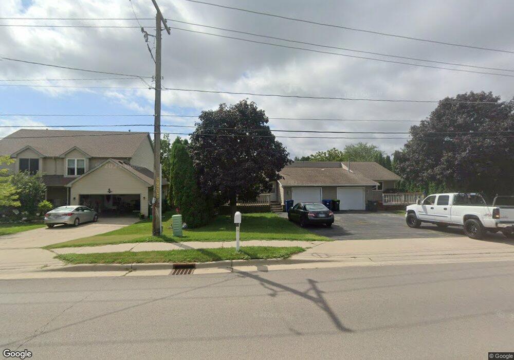
195 S Somonauk Rd Cortland, IL 60112
Estimated Value: $235,000 - $274,000
--
Bed
--
Bath
1,218
Sq Ft
$212/Sq Ft
Est. Value
About This Home
This home is located at 195 S Somonauk Rd, Cortland, IL 60112 and is currently estimated at $258,431, approximately $212 per square foot. 195 S Somonauk Rd is a home located in DeKalb County with nearby schools including Cortland Elementary School, Huntley Middle School, and De Kalb High School.
Ownership History
Date
Name
Owned For
Owner Type
Purchase Details
Closed on
Jan 6, 2025
Sold by
Koker Timothy
Bought by
Koker Dena
Current Estimated Value
Purchase Details
Closed on
Dec 17, 2013
Sold by
Castle Bank
Bought by
Koker Timothy and Koker Dena
Purchase Details
Closed on
Dec 12, 2011
Sold by
Halverson David J
Bought by
Castle Bank
Purchase Details
Closed on
Aug 29, 2011
Sold by
Sherrill Tammie L
Bought by
Halverson David J and Dawn Halverson C
Purchase Details
Closed on
Feb 28, 2006
Sold by
Shipp Jean R
Bought by
Shipp Judith
Create a Home Valuation Report for This Property
The Home Valuation Report is an in-depth analysis detailing your home's value as well as a comparison with similar homes in the area
Home Values in the Area
Average Home Value in this Area
Purchase History
| Date | Buyer | Sale Price | Title Company |
|---|---|---|---|
| Koker Dena | -- | None Listed On Document | |
| Koker Dena | -- | None Listed On Document | |
| Koker Timothy | -- | -- | |
| Castle Bank | -- | -- | |
| Halverson David J | $104,000 | -- | |
| Shipp Judith | -- | -- |
Source: Public Records
Tax History Compared to Growth
Tax History
| Year | Tax Paid | Tax Assessment Tax Assessment Total Assessment is a certain percentage of the fair market value that is determined by local assessors to be the total taxable value of land and additions on the property. | Land | Improvement |
|---|---|---|---|---|
| 2024 | $4,982 | $71,336 | $18,431 | $52,905 |
| 2023 | $4,982 | $66,738 | $17,243 | $49,495 |
| 2022 | $4,761 | $60,341 | $16,456 | $43,885 |
| 2021 | $4,238 | $51,302 | $15,668 | $35,634 |
| 2020 | $4,234 | $49,701 | $15,179 | $34,522 |
| 2019 | $4,096 | $47,615 | $14,542 | $33,073 |
| 2018 | $3,927 | $44,788 | $13,510 | $31,278 |
| 2017 | $3,856 | $42,639 | $12,862 | $29,777 |
| 2016 | $3,647 | $40,074 | $12,088 | $27,986 |
| 2015 | -- | $37,631 | $11,351 | $26,280 |
| 2014 | -- | $36,219 | $10,925 | $25,294 |
| 2013 | -- | $37,532 | $11,321 | $26,211 |
Source: Public Records
Map
Nearby Homes
- 231 S Walnut St
- 269 S Somonauk Rd
- 67 E Robinson Ave
- 154 Llanos St
- 152 Llanos St
- 154 S Llanos St
- 152 S Llanos St
- Lot B16 Llanos St
- Lot A16 Llanos St
- Townes Plan at Robinson Farms - Townes
- The Anderson Plan at Robinson Farms
- 67 S Somonauk Rd
- 167 W Carol Ave
- 467 Preston St
- Berquist Plan at Richland Trails
- Lincoln Plan at Richland Trails
- The Holbrook Plan at Natures Crossing - Nature's Crossing
- The Varner Plan at Natures Crossing - Nature's Crossing
- The Westwood Plan at Natures Crossing - Nature's Crossing
- The Ardena Plan at Natures Crossing - Nature's Crossing
- 195 S Somonauk Rd
- 193 S Somonauk Rd Unit 195
- 193 S Somonauk Rd
- 199 S Somonauk Rd
- 10 W South Ave
- 203 S Somonauk Rd
- 22 W South Ave
- 192 S Halwood St
- 202 S Halwood St
- 200 S Halwood St Unit 20
- 9 W Benson Ave
- 11 W Benson Ave
- 23 W Benson Ave
- 194 S Halwood St
- 9 E South Ave
- 21 W South Ave
- 29 W South Ave
- 35 W South Ave
- 7 E South Ave
- 175 S Halwood St