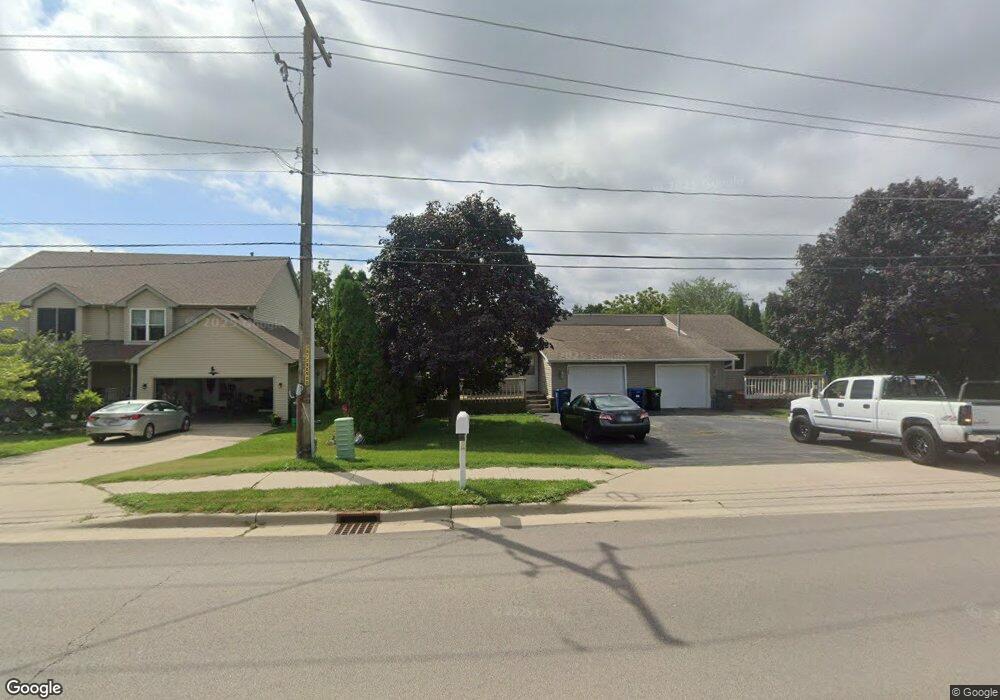
195 S Somonauk Rd Cortland, IL 60112
Estimated Value: $251,000 - $303,000
1
Bed
2
Baths
1,500
Sq Ft
$179/Sq Ft
Est. Value
About This Home
This home is located at 195 S Somonauk Rd, Cortland, IL 60112 and is currently estimated at $268,412, approximately $178 per square foot. 195 S Somonauk Rd is a home located in DeKalb County with nearby schools including Cortland Elementary School, Huntley Middle School, and De Kalb High School.
Ownership History
Date
Name
Owned For
Owner Type
Purchase Details
Closed on
Apr 2, 2015
Sold by
Pesek Jamie P
Bought by
Valley Road Properties Llc
Current Estimated Value
Purchase Details
Closed on
Dec 12, 2014
Sold by
Tdk Properties Llc Somonauk Se
Bought by
Pesek Jamie P
Home Financials for this Owner
Home Financials are based on the most recent Mortgage that was taken out on this home.
Original Mortgage
$102,750
Interest Rate
4.25%
Mortgage Type
New Conventional
Purchase Details
Closed on
Nov 7, 2012
Sold by
Troy Kathy M
Bought by
Tdk Properties Llc Somonauk
Purchase Details
Closed on
Jul 26, 2012
Sold by
Fannie Mae
Bought by
Troy Kathy M and Troy Daniel R
Purchase Details
Closed on
May 30, 2012
Sold by
Dekalb County Sheriff
Bought by
First National Bank Omaha
Create a Home Valuation Report for This Property
The Home Valuation Report is an in-depth analysis detailing your home's value as well as a comparison with similar homes in the area
Home Values in the Area
Average Home Value in this Area
Purchase History
| Date | Buyer | Sale Price | Title Company |
|---|---|---|---|
| Valley Road Properties Llc | -- | -- | |
| Pesek Jamie P | $137,000 | -- | |
| Tdk Properties Llc Somonauk | -- | -- | |
| Troy Kathy M | $115,000 | -- | |
| First National Bank Omaha | -- | -- |
Source: Public Records
Mortgage History
| Date | Status | Borrower | Loan Amount |
|---|---|---|---|
| Previous Owner | Pesek Jamie P | $102,750 |
Source: Public Records
Tax History Compared to Growth
Tax History
| Year | Tax Paid | Tax Assessment Tax Assessment Total Assessment is a certain percentage of the fair market value that is determined by local assessors to be the total taxable value of land and additions on the property. | Land | Improvement |
|---|---|---|---|---|
| 2024 | $5,986 | $68,093 | $16,315 | $51,778 |
| 2023 | $5,986 | $63,703 | $15,263 | $48,440 |
| 2022 | $6,058 | $60,797 | $14,567 | $46,230 |
| 2021 | $6,132 | $57,885 | $13,869 | $44,016 |
| 2020 | $6,145 | $56,079 | $13,436 | $42,643 |
| 2019 | $5,974 | $53,726 | $12,872 | $40,854 |
| 2018 | $5,816 | $50,809 | $12,173 | $38,636 |
| 2017 | $5,758 | $48,371 | $11,589 | $36,782 |
| 2016 | $5,550 | $45,462 | $10,892 | $34,570 |
| 2015 | -- | $42,691 | $10,228 | $32,463 |
| 2014 | -- | $41,088 | $9,844 | $31,244 |
| 2013 | -- | $42,578 | $10,201 | $32,377 |
Source: Public Records
Map
Nearby Homes
- 231 S Walnut St
- 269 S Somonauk Rd
- 67 E Robinson Ave
- 154 Llanos St
- 152 Llanos St
- 154 S Llanos St
- 152 S Llanos St
- Lot B16 Llanos St
- Lot A16 Llanos St
- Townes Plan at Robinson Farms - Townes
- The Anderson Plan at Robinson Farms
- 67 S Somonauk Rd
- 167 W Carol Ave
- 467 Preston St
- Berquist Plan at Richland Trails
- Lincoln Plan at Richland Trails
- The Holbrook Plan at Natures Crossing - Nature's Crossing
- The Varner Plan at Natures Crossing - Nature's Crossing
- The Westwood Plan at Natures Crossing - Nature's Crossing
- The Ardena Plan at Natures Crossing - Nature's Crossing
- 195 S Somonauk Rd
- 193 S Somonauk Rd Unit 195
- 193 S Somonauk Rd
- 199 S Somonauk Rd
- 10 W South Ave
- 203 S Somonauk Rd
- 22 W South Ave
- 192 S Halwood St
- 202 S Halwood St
- 200 S Halwood St Unit 20
- 9 W Benson Ave
- 11 W Benson Ave
- 23 W Benson Ave
- 194 S Halwood St
- 9 E South Ave
- 21 W South Ave
- 29 W South Ave
- 35 W South Ave
- 7 E South Ave
- 175 S Halwood St