195 Sand Point Rd Bar Harbor, ME 04609
Estimated Value: $544,000 - $813,000
2
Beds
2
Baths
1,216
Sq Ft
$541/Sq Ft
Est. Value
About This Home
This home is located at 195 Sand Point Rd, Bar Harbor, ME 04609 and is currently estimated at $657,384, approximately $540 per square foot. 195 Sand Point Rd is a home located in Hancock County with nearby schools including Conners-Emerson School and Mt. Desert Island High School.
Ownership History
Date
Name
Owned For
Owner Type
Purchase Details
Closed on
Oct 16, 2020
Sold by
Gray Theodore P and Gray Patricia A
Bought by
Kennon Kelly A
Current Estimated Value
Home Financials for this Owner
Home Financials are based on the most recent Mortgage that was taken out on this home.
Original Mortgage
$396,000
Outstanding Balance
$352,221
Interest Rate
2.9%
Mortgage Type
New Conventional
Estimated Equity
$305,163
Create a Home Valuation Report for This Property
The Home Valuation Report is an in-depth analysis detailing your home's value as well as a comparison with similar homes in the area
Home Values in the Area
Average Home Value in this Area
Purchase History
| Date | Buyer | Sale Price | Title Company |
|---|---|---|---|
| Kennon Kelly A | -- | None Available |
Source: Public Records
Mortgage History
| Date | Status | Borrower | Loan Amount |
|---|---|---|---|
| Open | Kennon Kelly A | $396,000 |
Source: Public Records
Tax History Compared to Growth
Tax History
| Year | Tax Paid | Tax Assessment Tax Assessment Total Assessment is a certain percentage of the fair market value that is determined by local assessors to be the total taxable value of land and additions on the property. | Land | Improvement |
|---|---|---|---|---|
| 2024 | $6,062 | $603,800 | $387,900 | $215,900 |
| 2023 | $5,241 | $603,800 | $387,900 | $215,900 |
| 2022 | $4,762 | $510,900 | $328,200 | $182,700 |
| 2021 | $4,524 | $464,500 | $298,400 | $166,100 |
| 2020 | $3,509 | $294,900 | $177,700 | $117,200 |
| 2019 | $3,459 | $291,900 | $175,900 | $116,000 |
| 2018 | $3,374 | $291,900 | $175,900 | $116,000 |
| 2017 | $3,199 | $291,900 | $175,900 | $116,000 |
| 2016 | $3,132 | $291,900 | $175,900 | $116,000 |
| 2015 | $3,091 | $291,900 | $175,900 | $116,000 |
| 2014 | $2,983 | $291,900 | $175,900 | $116,000 |
| 2012 | $2,872 | $291,900 | $175,900 | $116,000 |
Source: Public Records
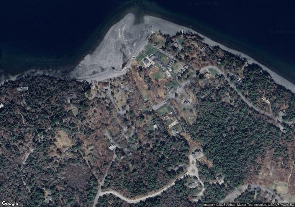
Map
Nearby Homes
- 102 Degregoire Park Unit 2
- 9 Byrnes Rd
- 118 Old Bar Harbor Rd
- 55 Owls Nest Ln
- 791 Lamoine Beach Rd
- 782 Lamoine Beach Rd
- 18 Hamor Ln
- 2 Lookout Point Rd
- 10 Harbor Lights Rd
- Lot #10 North Rd
- 694 Lamoine Beach Rd
- 71 Bay View Dr
- Lot 001 Crooked Rd
- 28 Winding Brook Rd
- 11 Ocean Bridge Blvd
- M1 L81-11 Asa's Ln
- M1 L81-11 Asa's Ln
- 29 Equity Ln
- 34 Frenchmans Hill E
- Lot 4 Belle Grande Dr
- 192 Sand Point Rd
- 192 Sand Point Rd Unit 1
- 0 Sand Point Rd
- 5 Coles Cove
- 200 Sand Point Rd
- 184 Sand Point Rd
- 11 Ovens Ln
- 181 Sand Point Rd
- 9 Bishops Way
- 13 Coles Cove
- 208 Sand Point Rd
- 7 Bishops Way
- 17 Bishops Way
- 175 Sand Point Rd
- 215 Sand Point Rd
- 19 Coles Cove
- 212 Sand Point Rd
- 172 Sand Point Rd
- 173 Sand Point Rd
- 68 Bunchberry Rd