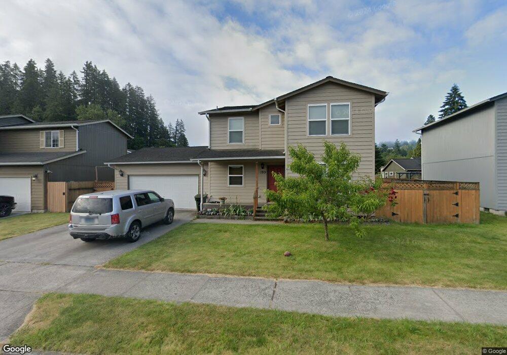
195 Shear St SW Castle Rock, WA 98611
Estimated Value: $391,813 - $495,000
4
Beds
2
Baths
1,617
Sq Ft
$268/Sq Ft
Est. Value
About This Home
This home is located at 195 Shear St SW, Castle Rock, WA 98611 and is currently estimated at $433,953, approximately $268 per square foot. 195 Shear St SW is a home with nearby schools including Castle Rock Elementary School, Castle Rock Middle School, and Castle Rock High School.
Ownership History
Date
Name
Owned For
Owner Type
Purchase Details
Closed on
Apr 2, 2010
Sold by
Hoyt Sunni J
Bought by
Lawson Ariana J
Current Estimated Value
Purchase Details
Closed on
Sep 22, 2009
Sold by
Lower Columbia Community Action Council
Bought by
Hoyt Sunni J
Home Financials for this Owner
Home Financials are based on the most recent Mortgage that was taken out on this home.
Original Mortgage
$169,020
Interest Rate
5.25%
Mortgage Type
Purchase Money Mortgage
Create a Home Valuation Report for This Property
The Home Valuation Report is an in-depth analysis detailing your home's value as well as a comparison with similar homes in the area
Home Values in the Area
Average Home Value in this Area
Purchase History
| Date | Buyer | Sale Price | Title Company |
|---|---|---|---|
| Lawson Ariana J | $169,019 | Cowlitz County Title Company | |
| Hoyt Sunni J | $75,000 | Cowlitz Title |
Source: Public Records
Mortgage History
| Date | Status | Borrower | Loan Amount |
|---|---|---|---|
| Previous Owner | Hoyt Sunni J | $169,020 | |
| Closed | Lawson Ariana J | $0 |
Source: Public Records
Tax History Compared to Growth
Tax History
| Year | Tax Paid | Tax Assessment Tax Assessment Total Assessment is a certain percentage of the fair market value that is determined by local assessors to be the total taxable value of land and additions on the property. | Land | Improvement |
|---|---|---|---|---|
| 2024 | $3,137 | $370,590 | $46,300 | $324,290 |
| 2023 | $2,740 | $336,270 | $46,300 | $289,970 |
| 2022 | $2,584 | $330,430 | $36,210 | $294,220 |
| 2021 | $2,518 | $281,090 | $31,760 | $249,330 |
| 2020 | $2,343 | $255,540 | $28,880 | $226,660 |
| 2019 | $2,165 | $244,196 | $26,250 | $217,946 |
| 2018 | $2,131 | $210,950 | $26,250 | $184,700 |
| 2017 | $2,043 | $180,690 | $25,000 | $155,690 |
| 2016 | $1,895 | $170,500 | $31,500 | $139,000 |
| 2015 | $1,926 | $166,450 | $31,500 | $134,950 |
| 2013 | -- | $148,850 | $31,500 | $117,350 |
Source: Public Records
Map
Nearby Homes
- 56 Shear St SW
- 1020 3rd Ave SW
- 705 1st Ave SW
- 546 4th Ave SW
- 642 5th Ave SW
- 438 Front Ave SW
- 237 C St SW
- 109 B St SW
- 0 Huntington Ave S Unit NWM2336096
- 203 Roake Ave SE
- 6609 Westside Hwy
- 107 Guinevere Ct
- 114 Cherry St NW
- 0 Pioneer Ave NE
- 611 Pioneer Ave NE
- 552 North St NE
- 110 Dryad Ln
- 715 NE Pioneer Ave NE
- 410 Hicks Rd
- 3820 Westside Hwy
- 175 Shear St SW
- 215 Shear St SW
- 210 Michner St SW
- 180 Michner St SW
- 220 Michner St SW
- 145 Shear St SW
- 204 Shear St SW
- 200 Shear St SW
- 245 Shear St SW
- 150 Shear St SW
- 236 Michner St SW
- 220 Shear St SW
- 130 Shear St SW
- 236 Shear St SW
- 920 Ace Ave SW
- 900 Ace Ave SW
- 920 3rd Ave SW
- 227 Michner St SW
- 155 Aden St SW
- 930 3rd Ave SW