195 Sims Cemetery Rd Franklin, GA 30217
Estimated Value: $201,000 - $273,000
2
Beds
2
Baths
1,440
Sq Ft
$158/Sq Ft
Est. Value
About This Home
This home is located at 195 Sims Cemetery Rd, Franklin, GA 30217 and is currently estimated at $227,031, approximately $157 per square foot. 195 Sims Cemetery Rd is a home located in Heard County with nearby schools including Heard County High School.
Ownership History
Date
Name
Owned For
Owner Type
Purchase Details
Closed on
Jul 13, 2010
Sold by
Underwood Angelia Gayle
Bought by
Hubbard Harold
Current Estimated Value
Purchase Details
Closed on
May 7, 1993
Sold by
Hubbard Harold
Bought by
Underwood Angela G
Purchase Details
Closed on
Sep 14, 1992
Sold by
Gilleland Fred
Bought by
Hubbard Harold
Purchase Details
Closed on
Feb 22, 1984
Sold by
Morgan E D
Bought by
Gilleland Fred
Purchase Details
Closed on
Feb 20, 1973
Bought by
Morgan E D
Create a Home Valuation Report for This Property
The Home Valuation Report is an in-depth analysis detailing your home's value as well as a comparison with similar homes in the area
Home Values in the Area
Average Home Value in this Area
Purchase History
| Date | Buyer | Sale Price | Title Company |
|---|---|---|---|
| Hubbard Harold | -- | -- | |
| Underwood Angela G | $7,000 | -- | |
| Hubbard Harold | $7,000 | -- | |
| Gilleland Fred | $2,800 | -- | |
| Morgan E D | $2,500 | -- |
Source: Public Records
Tax History Compared to Growth
Tax History
| Year | Tax Paid | Tax Assessment Tax Assessment Total Assessment is a certain percentage of the fair market value that is determined by local assessors to be the total taxable value of land and additions on the property. | Land | Improvement |
|---|---|---|---|---|
| 2024 | $706 | $51,966 | $11,914 | $40,052 |
| 2023 | $814 | $55,907 | $11,680 | $44,227 |
| 2022 | $622 | $46,737 | $6,817 | $39,920 |
| 2021 | $402 | $35,215 | $6,817 | $28,398 |
| 2020 | $413 | $35,519 | $6,817 | $28,702 |
| 2019 | $413 | $35,519 | $6,817 | $28,702 |
| 2018 | $80 | $35,519 | $6,817 | $28,702 |
| 2017 | $96 | $21,192 | $6,493 | $14,699 |
| 2016 | $96 | $21,192 | $6,493 | $14,699 |
| 2015 | -- | $22,511 | $10,000 | $12,511 |
| 2014 | -- | $22,511 | $10,000 | $12,511 |
| 2013 | -- | $25,880 | $10,000 | $15,880 |
Source: Public Records
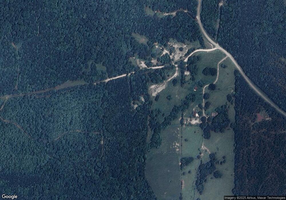
Map
Nearby Homes
- 4230 Joe Stephens Rd
- 0 Newman Rd Unit 10559645
- 323 Newman Rd
- 0 S Bridge Rd Unit 10615531
- 1255 S Bridge Rd
- 220 Dogwood Rd
- 192 Hawk Rd
- 38 Daniel Cir
- 19860 Georgia 34
- 19860 Ga Hwy 34
- 17426 Georgia 34
- 262 Jackson Shoals Rd
- 0 Thomas Powers Rd Unit 10569332
- 0 Thomas Powers Rd Unit 5.54+/- ACRES
- 0 Thomas Powers Rd Unit 24228819
- 260 Ancient Oak Ln
- 642 Elm Rd
- 12439 U S 27
- 815 Birch Rd
- 0 Joe Cook Rd Unit 4 10550489
- 187 Sims Cemetery Rd
- 239 Sims Cemetery Rd
- 88 Sims Cemetery Rd
- 867 Ferry Rd
- 867 Ferry Rd
- 867 Ferry Rd
- 979 Ferry Rd
- 1055 Ferry Rd
- 1206 Ferry Rd
- 1206A Ferry Rd
- 1255 Ferry Rd
- 1305 Ferry Rd
- 2204 Ferry Rd
- 2204 Ferry Rd
- 1408 Ferry Rd
- 4477 Enon Grove Rd
- 4675 Enon Grove Rd
- 1614 Ferry Rd
- 1646 Ferry Rd
- 3955 Joe Stephens Rd