195 Sloop Creek Rd Port Haywood, VA 23138
Mathews NeighborhoodEstimated Value: $461,000 - $876,000
3
Beds
2
Baths
2,552
Sq Ft
$257/Sq Ft
Est. Value
About This Home
This home is located at 195 Sloop Creek Rd, Port Haywood, VA 23138 and is currently estimated at $655,082, approximately $256 per square foot. 195 Sloop Creek Rd is a home located in Mathews County with nearby schools including Thomas Hunter Middle School and Mathews High School.
Ownership History
Date
Name
Owned For
Owner Type
Purchase Details
Closed on
Dec 9, 2005
Sold by
Edlow Kenneth L
Bought by
Reed Michael P
Current Estimated Value
Create a Home Valuation Report for This Property
The Home Valuation Report is an in-depth analysis detailing your home's value as well as a comparison with similar homes in the area
Home Values in the Area
Average Home Value in this Area
Purchase History
| Date | Buyer | Sale Price | Title Company |
|---|---|---|---|
| Reed Michael P | $119,000 | -- |
Source: Public Records
Tax History Compared to Growth
Tax History
| Year | Tax Paid | Tax Assessment Tax Assessment Total Assessment is a certain percentage of the fair market value that is determined by local assessors to be the total taxable value of land and additions on the property. | Land | Improvement |
|---|---|---|---|---|
| 2025 | $3,714 | $619,000 | $112,200 | $506,800 |
| 2024 | $3,466 | $619,000 | $112,200 | $506,800 |
| 2023 | $3,466 | $619,000 | $112,200 | $506,800 |
| 2022 | $2,902 | $453,400 | $112,200 | $341,200 |
| 2021 | $2,924 | $453,400 | $112,200 | $341,200 |
| 2020 | $2,924 | $453,400 | $112,200 | $341,200 |
| 2019 | $2,873 | $445,400 | $112,200 | $333,200 |
| 2018 | $2,561 | $445,400 | $112,200 | $333,200 |
| 2017 | $2,561 | $445,400 | $112,200 | $333,200 |
| 2015 | $25,105 | $0 | $0 | $0 |
| 2014 | $25,105 | $464,900 | $137,200 | $327,700 |
| 2013 | $2,185 | $464,900 | $137,200 | $327,700 |
Source: Public Records
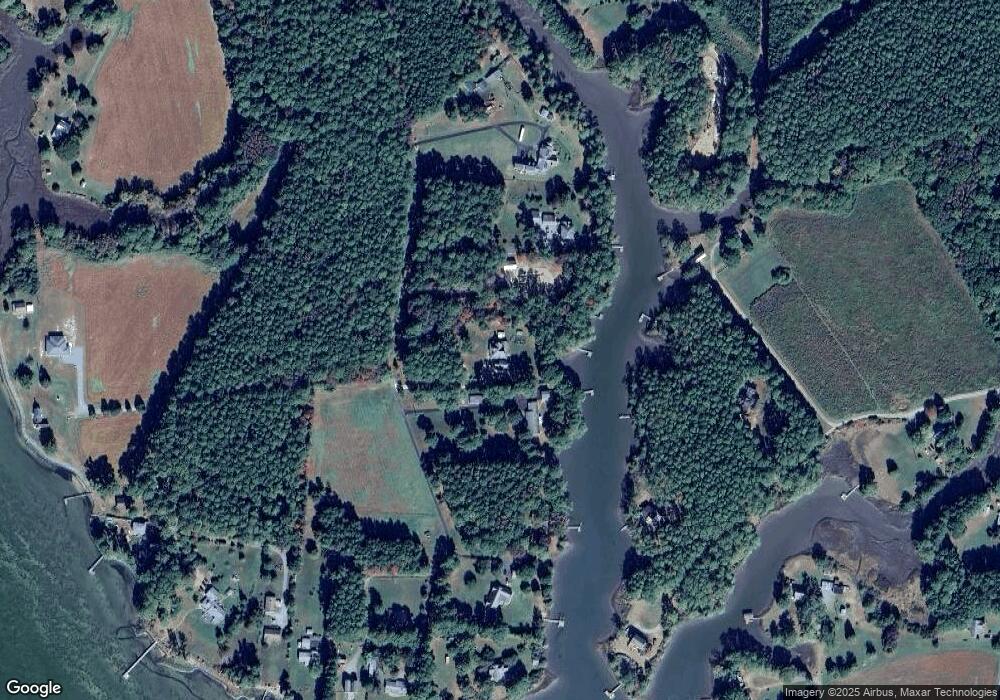
Map
Nearby Homes
- 50 Captains Dr
- 0 Bellevue Rd
- 46 Bellevue Rd
- 5450 New Point Comfort Hwy
- 364 Millers Ln
- 136 Millers Ln
- 14 New Point Comfort Hwy
- 901 Circle Dr
- 744 Possum Point Rd
- 653 Possum Point Rd
- 3.621 Acres Possum Point Rd
- 591 Possum Point Rd
- 000 Horn Harbor Ave
- 2 acr Horn Harbor Ave
- 5762 E River Rd
- 290 Circle Dr
- 7716 New Point Comfort Hwy
- 633 Morse Point Rd
- 215 Sloop Creek Rd
- 0 Sloop Creek Rd
- 119 Sloop Creek Rd
- 119 Sloop Creek Rd
- 119 Sloop Creek Rd
- 53 Sloop Creek Rd
- 264 Ships Way
- 311 Sloop Creek Rd
- 2 Sloop Creek Rd
- 00 Bayside Dr
- 77 AC Old Bar Neck Rd
- 317 Sloop Creek Rd
- 276 Ships Way
- 00 Ships Way
- 0 Ships Way
- 319 Sloop Creek Rd
- 348 Bayside Dr
- 361 Sloop Creek Rd
- 353 Sloop Creek Rd