195 Stable Rd Tarboro, NC 27886
Estimated Value: $202,000 - $249,977
4
Beds
2
Baths
2,052
Sq Ft
$108/Sq Ft
Est. Value
About This Home
This home is located at 195 Stable Rd, Tarboro, NC 27886 and is currently estimated at $222,244, approximately $108 per square foot. 195 Stable Rd is a home located in Edgecombe County with nearby schools including G.W. Carver Elementary School, South Edgecombe Middle School, and Southwest Edgecombe High School.
Ownership History
Date
Name
Owned For
Owner Type
Purchase Details
Closed on
Jun 12, 2015
Sold by
Taylor Angel
Bought by
Taylor Linwood Keith
Current Estimated Value
Purchase Details
Closed on
Apr 9, 2007
Sold by
Branch Banking And Truct Co
Bought by
Taylor Keith and Taylor Angel
Home Financials for this Owner
Home Financials are based on the most recent Mortgage that was taken out on this home.
Original Mortgage
$58,982
Interest Rate
6.1%
Mortgage Type
FHA
Purchase Details
Closed on
Nov 28, 2006
Sold by
Warren Jaime H
Bought by
Branch Banking And Trust Co
Create a Home Valuation Report for This Property
The Home Valuation Report is an in-depth analysis detailing your home's value as well as a comparison with similar homes in the area
Home Values in the Area
Average Home Value in this Area
Purchase History
| Date | Buyer | Sale Price | Title Company |
|---|---|---|---|
| Taylor Linwood Keith | -- | None Available | |
| Taylor Keith | $61,500 | None Available | |
| Branch Banking And Trust Co | $305,000 | None Available |
Source: Public Records
Mortgage History
| Date | Status | Borrower | Loan Amount |
|---|---|---|---|
| Previous Owner | Taylor Keith | $58,982 |
Source: Public Records
Tax History Compared to Growth
Tax History
| Year | Tax Paid | Tax Assessment Tax Assessment Total Assessment is a certain percentage of the fair market value that is determined by local assessors to be the total taxable value of land and additions on the property. | Land | Improvement |
|---|---|---|---|---|
| 2024 | $2,223 | $0 | $0 | $0 |
| 2023 | $1,536 | $0 | $0 | $0 |
| 2022 | $1,536 | $0 | $0 | $0 |
| 2021 | $1,536 | $0 | $0 | $0 |
| 2020 | $1,526 | $0 | $0 | $0 |
| 2019 | $1,526 | $0 | $0 | $0 |
| 2018 | $1,526 | $0 | $0 | $0 |
| 2017 | $152,564 | $0 | $0 | $0 |
| 2016 | $1,554 | $0 | $0 | $0 |
| 2015 | $155,399 | $0 | $0 | $0 |
| 2014 | $147,235 | $0 | $0 | $0 |
Source: Public Records
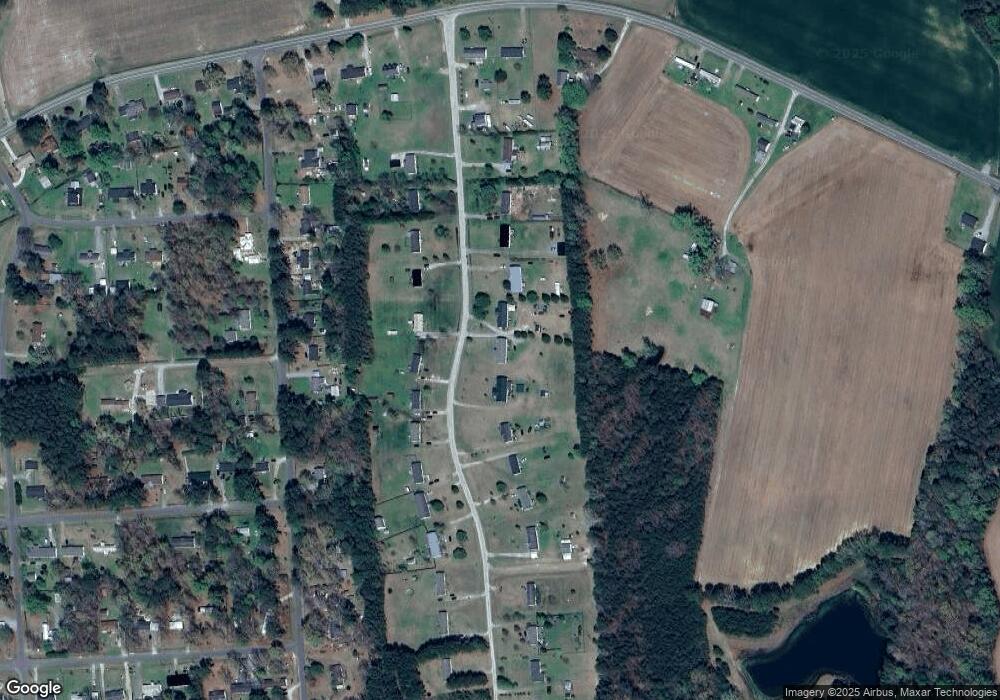
Map
Nearby Homes
- 5635 McKendree Church Rd
- 72 Shady Lake Dr
- 6140 McKendree Church Rd
- 2671&2674 Harts Mill Run Rd
- 102 Zachary Ln
- 638 Davistown-Mercer Rd
- 5128 Us 258 S
- 0 Mcnair Rd
- 379 Greenbrier Rd
- 6103 U S 258
- 2340 Mcnair Rd
- 2380 Mcnair Rd
- 2360 Mcnair Rd
- 254 Warwick Dr
- 2043 Mcnair Rd
- 27 Warwick Dr
- 2012 Glissom St
- 1321 Bynum Farm Rd
- 0 Off Us Hwy 264 Unit 100492765
- 1344 Jenkins Farm Rd