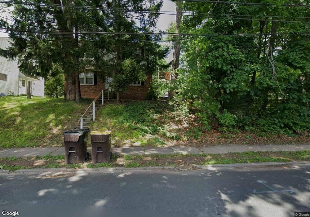
195 W Ashland St Doylestown, PA 18901
Estimated Value: $501,000 - $751,000
4
Beds
2
Baths
1,980
Sq Ft
$325/Sq Ft
Est. Value
About This Home
This home is located at 195 W Ashland St, Doylestown, PA 18901 and is currently estimated at $643,342, approximately $324 per square foot. 195 W Ashland St is a home located in Bucks County with nearby schools including Doyle El School, Lenape Middle School, and Central Bucks High School-West.
Ownership History
Date
Name
Owned For
Owner Type
Purchase Details
Closed on
Apr 14, 2025
Sold by
Scarborough Edwin Thomas and Scarborough Carol A
Bought by
Edwin Thomas Scarborough Jr And Carol A Scarb and Scarborough
Current Estimated Value
Purchase Details
Closed on
Oct 19, 2000
Sold by
Hellerman Robert S and Hellerman Jean E
Bought by
Scarborough E Thomas and Scarborough Carol A
Purchase Details
Closed on
Jun 6, 1983
Bought by
Hellerman Robert S and Hellerman Jean E
Create a Home Valuation Report for This Property
The Home Valuation Report is an in-depth analysis detailing your home's value as well as a comparison with similar homes in the area
Home Values in the Area
Average Home Value in this Area
Purchase History
| Date | Buyer | Sale Price | Title Company |
|---|---|---|---|
| Edwin Thomas Scarborough Jr And Carol A Scarb | -- | Accommodation/Courtesy Recordi | |
| Scarborough E Thomas | $150,000 | -- | |
| Hellerman Robert S | $80,000 | -- |
Source: Public Records
Tax History Compared to Growth
Tax History
| Year | Tax Paid | Tax Assessment Tax Assessment Total Assessment is a certain percentage of the fair market value that is determined by local assessors to be the total taxable value of land and additions on the property. | Land | Improvement |
|---|---|---|---|---|
| 2025 | $4,972 | $27,600 | $4,840 | $22,760 |
| 2024 | $4,972 | $27,600 | $4,840 | $22,760 |
| 2023 | $4,737 | $27,600 | $4,840 | $22,760 |
| 2022 | $4,671 | $27,600 | $4,840 | $22,760 |
| 2021 | $4,620 | $27,600 | $4,840 | $22,760 |
| 2020 | $4,569 | $27,600 | $4,840 | $22,760 |
| 2019 | $4,519 | $27,600 | $4,840 | $22,760 |
| 2018 | $4,464 | $27,600 | $4,840 | $22,760 |
| 2017 | $4,417 | $27,600 | $4,840 | $22,760 |
| 2016 | $4,417 | $27,600 | $4,840 | $22,760 |
| 2015 | -- | $27,600 | $4,840 | $22,760 |
| 2014 | -- | $27,600 | $4,840 | $22,760 |
Source: Public Records
Map
Nearby Homes
- 195 Lafayette St
- 37 N Clinton St
- 3 Steeplechase Dr
- 403 S Main St Unit S201
- 236 Green St
- 130 N Clinton St
- 89 Homestead Dr
- 69 E Oakland Ave
- 110 E Ashland St
- 9 Mill Creek Dr
- 20 E Court St
- 272 Fox Chase Ln
- 1 Barnes Ct
- 155 E Oakland Ave
- 146 E Court St
- 146 N Church St
- 114 Progress Dr
- 78 Tower Hill Rd
- 32 Hibiscus Ct Unit 32
- 339 E Ashland St
- 205 W Ashland St
- 278 Paine St
- 270 Paine St
- 286 Paine St
- 165 W Ashland St
- 266 Paine St
- 295 Lafayette St
- 277 Paine St
- 271 Paine St
- 285 Paine St
- 228 W Ashland St
- 230 W Ashland St
- 196 Lafayette St
- 198 Lafayette St
- 265 Paine St
- 157 W Ashland St
- 278 W Oakland Ave
- 192 Lafayette St
- 151 S West St
- 272 W Oakland Ave