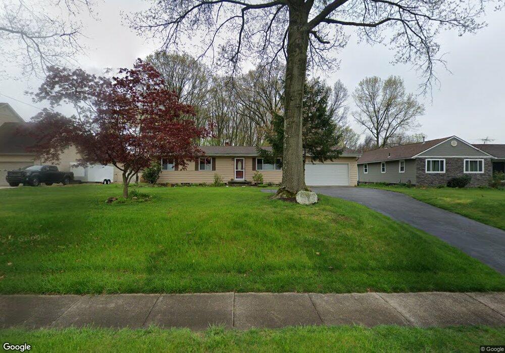
195 W Howe Rd Tallmadge, OH 44278
Estimated Value: $223,000 - $239,000
3
Beds
1
Bath
1,144
Sq Ft
$202/Sq Ft
Est. Value
About This Home
This home is located at 195 W Howe Rd, Tallmadge, OH 44278 and is currently estimated at $230,572, approximately $201 per square foot. 195 W Howe Rd is a home located in Summit County with nearby schools including Tallmadge Middle School, Tallmadge High School, and Steel Academy.
Ownership History
Date
Name
Owned For
Owner Type
Purchase Details
Closed on
May 17, 2017
Sold by
Riede Anne M
Bought by
Riede David C and Riede Margaret M
Current Estimated Value
Create a Home Valuation Report for This Property
The Home Valuation Report is an in-depth analysis detailing your home's value as well as a comparison with similar homes in the area
Home Values in the Area
Average Home Value in this Area
Purchase History
| Date | Buyer | Sale Price | Title Company |
|---|---|---|---|
| Riede David C | -- | None Available |
Source: Public Records
Tax History Compared to Growth
Tax History
| Year | Tax Paid | Tax Assessment Tax Assessment Total Assessment is a certain percentage of the fair market value that is determined by local assessors to be the total taxable value of land and additions on the property. | Land | Improvement |
|---|---|---|---|---|
| 2025 | $3,526 | $67,327 | $15,446 | $51,881 |
| 2024 | $3,358 | $67,327 | $15,446 | $51,881 |
| 2023 | $3,526 | $67,327 | $15,446 | $51,881 |
| 2022 | $2,893 | $47,415 | $10,878 | $36,537 |
| 2021 | $2,906 | $47,415 | $10,878 | $36,537 |
| 2020 | $2,883 | $47,420 | $10,880 | $36,540 |
| 2019 | $2,688 | $39,540 | $13,500 | $26,040 |
| 2018 | $2,368 | $39,540 | $13,500 | $26,040 |
| 2017 | $2,230 | $39,540 | $13,500 | $26,040 |
| 2016 | $2,406 | $36,910 | $13,500 | $23,410 |
| 2015 | $2,230 | $36,910 | $13,500 | $23,410 |
| 2014 | $2,215 | $36,910 | $13,500 | $23,410 |
| 2013 | $2,175 | $36,910 | $13,500 | $23,410 |
Source: Public Records
Map
Nearby Homes
- 211 Cherry Ridge Unit 33
- 465 Spring Grove Dr
- 341 Starr Line Dr
- 528 Fernwood Ave
- 331 Cherry Ridge Unit 45
- 518 Morningstar Dr Unit 518
- 823 Gardenstone Cir
- 370 Cherry Ridge Unit 60
- 617 North Ave
- 736 Craig Dr
- 0 North Ave Unit 5116540
- 1444 Wellingshire Cir Unit 32B
- 400 Cherry Ridge
- 610 Crossings Cir Unit 610
- 430 Cherry Ridge Unit 54
- 532 Beverly Dr
- 441 Cherry Ridge Unit 52
- 368 Knollwood Ave
- 481 Buttevant Dr
- 71 Steeplechase Ln
- 205 W Howe Rd
- 185 W Howe Rd
- 591 Spring Grove Dr
- 227 W Howe Rd
- 557 Spring Grove Dr
- 206 W Howe Rd
- 196 W Howe Rd
- 182 W Howe Rd
- 547 Spring Grove Dr
- 582 Spring Grove Dr
- 232 W Howe Rd
- 616 Senn Dr
- 537 Spring Grove Dr
- 241 W Howe Rd
- 558 Spring Grove Dr
- 155 W Howe Rd
- 615 Senn Dr
- 242 W Howe Rd
- 154 W Howe Rd
- 548 Spring Grove Dr