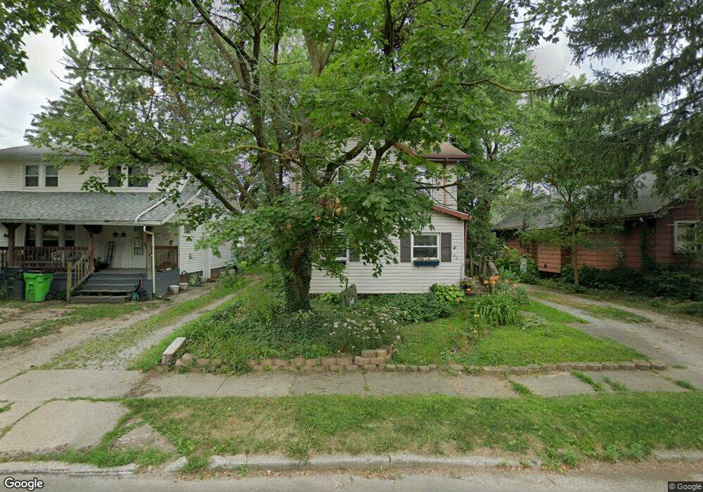
195 W Perry St Alliance, OH 44601
Estimated Value: $84,000 - $91,056
3
Beds
1
Bath
1,288
Sq Ft
$68/Sq Ft
Est. Value
About This Home
This home is located at 195 W Perry St, Alliance, OH 44601 and is currently estimated at $87,264, approximately $67 per square foot. 195 W Perry St is a home located in Stark County with nearby schools including Alliance Early Learning School, Alliance Intermediate School at Northside, and Alliance Middle School.
Create a Home Valuation Report for This Property
The Home Valuation Report is an in-depth analysis detailing your home's value as well as a comparison with similar homes in the area
Home Values in the Area
Average Home Value in this Area
Tax History Compared to Growth
Tax History
| Year | Tax Paid | Tax Assessment Tax Assessment Total Assessment is a certain percentage of the fair market value that is determined by local assessors to be the total taxable value of land and additions on the property. | Land | Improvement |
|---|---|---|---|---|
| 2025 | -- | $25,450 | $4,730 | $20,720 |
| 2024 | -- | $25,450 | $4,730 | $20,720 |
| 2023 | $345 | $17,750 | $4,690 | $13,060 |
| 2022 | $364 | $17,750 | $4,690 | $13,060 |
| 2021 | $364 | $17,750 | $4,690 | $13,060 |
| 2020 | $247 | $14,460 | $4,060 | $10,400 |
| 2019 | $244 | $14,460 | $4,060 | $10,400 |
| 2018 | $245 | $14,460 | $4,060 | $10,400 |
| 2017 | $92 | $11,340 | $2,730 | $8,610 |
| 2016 | $92 | $10,850 | $2,730 | $8,120 |
| 2015 | $115 | $11,340 | $2,730 | $8,610 |
| 2014 | $159 | $12,150 | $2,940 | $9,210 |
| 2013 | $79 | $12,150 | $2,940 | $9,210 |
Source: Public Records
Map
Nearby Homes
- 124 E Wayne St
- 710 N Freedom Ave
- 511 W Ely St
- 000 Meadowbrook Ave
- 329 1/2 W Main St
- 11344 Walnut Ave NE
- 0 Meadowbrook Ave
- 163 W Market St
- 345 W Market St
- 132 S Haines Ave
- 0 Homestead Ave NE
- 432 Johnson Ave
- 652 N Webb Ave
- 361 E Main St
- 14723 Bolton St NE
- 11680 Walnut Ave NE
- 11310 Webb Ave NE
- 0 Johnson Ave NE Unit 5142926
- 427 S Union Ave
- 356 E Broadway St