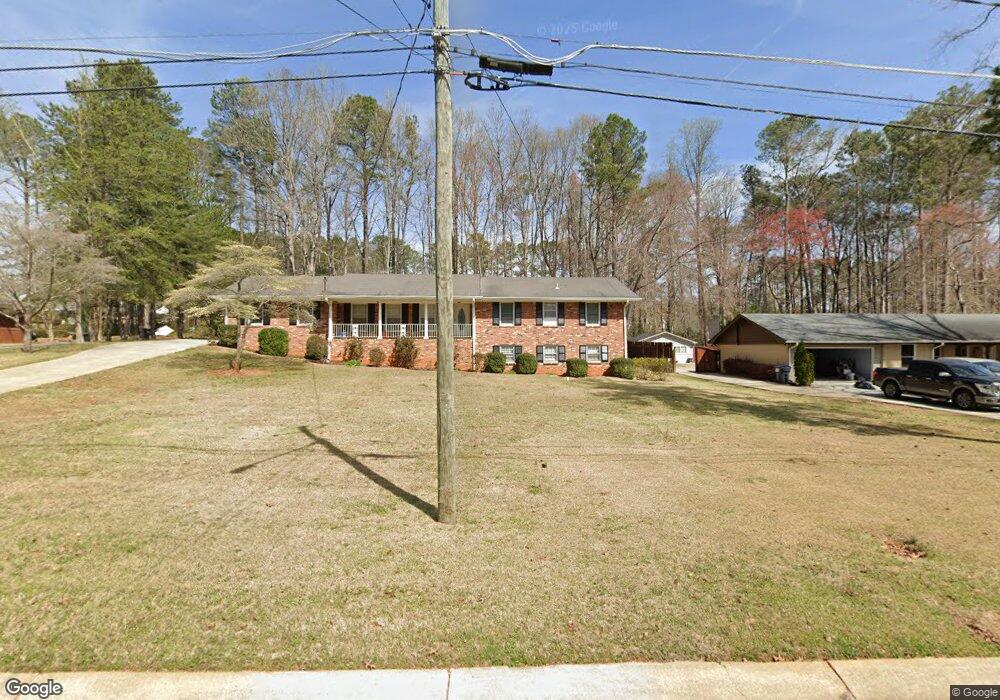
1950 Arnold Dr Unit 30 Austell, GA 30106
Estimated Value: $275,345 - $287,000
3
Beds
2
Baths
1,732
Sq Ft
$163/Sq Ft
Est. Value
About This Home
This home is located at 1950 Arnold Dr Unit 30, Austell, GA 30106 and is currently estimated at $282,086, approximately $162 per square foot. 1950 Arnold Dr Unit 30 is a home located in Cobb County with nearby schools including Austell Elementary School, Garrett Middle School, and South Cobb High School.
Ownership History
Date
Name
Owned For
Owner Type
Purchase Details
Closed on
Jun 5, 2017
Sold by
Mse Sub I Llc
Bought by
Westbrooks Kerry and Westbrooks Beverly P
Current Estimated Value
Home Financials for this Owner
Home Financials are based on the most recent Mortgage that was taken out on this home.
Original Mortgage
$106,878
Outstanding Balance
$88,687
Interest Rate
4.02%
Mortgage Type
New Conventional
Estimated Equity
$193,399
Purchase Details
Closed on
Dec 23, 2016
Sold by
Arwl 2014 & 1 Trust
Bought by
Mse Sub I Llc
Purchase Details
Closed on
Sep 30, 2014
Sold by
Hs Property Owner Llc
Bought by
Us Bank Trust National Associa
Purchase Details
Closed on
Apr 25, 2014
Sold by
Lee Hazel J
Bought by
Hs Property Owner Llc
Create a Home Valuation Report for This Property
The Home Valuation Report is an in-depth analysis detailing your home's value as well as a comparison with similar homes in the area
Home Values in the Area
Average Home Value in this Area
Purchase History
| Date | Buyer | Sale Price | Title Company |
|---|---|---|---|
| Westbrooks Kerry | $133,598 | -- | |
| Mse Sub I Llc | $75,160 | -- | |
| Us Bank Trust National Associa | $125,500 | -- | |
| Hs Property Owner Llc | $93,000 | -- |
Source: Public Records
Mortgage History
| Date | Status | Borrower | Loan Amount |
|---|---|---|---|
| Open | Westbrooks Kerry | $106,878 |
Source: Public Records
Tax History
| Year | Tax Paid | Tax Assessment Tax Assessment Total Assessment is a certain percentage of the fair market value that is determined by local assessors to be the total taxable value of land and additions on the property. | Land | Improvement |
|---|---|---|---|---|
| 2025 | $3,088 | $102,500 | $24,000 | $78,500 |
| 2024 | $3,090 | $102,500 | $24,000 | $78,500 |
| 2023 | $3,090 | $102,500 | $24,000 | $78,500 |
Source: Public Records
Map
Nearby Homes
- 1943 Arnold Dr
- 1959 Oakbluff Dr
- 1 Perkerson Mill Rd SW
- 1803 Gherry Dr
- 5164 Medford Ln
- 1700 Fulmont Cir
- 5472 June Dr SW
- 0 Clay Rd
- 5474 June Dr SW
- 1886 Mobley St
- 2136 Perkerson Mill Rd SW
- 4975 Brawner Lake Dr
- 0 Harris St Unit 7719748
- 1841 Mobley St
- 5410 Beth Dr
- 5466 Davis Dr
- 2232 Warren Dr
- 5320 Beth Dr
- 5393 Janet Ln
- 5425 Davis Dr
- 1950 Arnold Dr
- 1930 Arnold Dr
- 1970 Arnold Dr
- 1943 Leila St
- 1943 Leila St Unit 1943&1953
- 1920 Arnold Dr
- 1984 Arnold Dr
- 1969 Arnold Dr
- 1933 Lelia St
- 1961 Lelia St
- 1943 Lelia St
- 1973 Lelia St
- 1933 Leila St
- 1971 Arnold Dr
- 2000 Arnold Dr
- 1921 Arnold Dr
- 1910 Arnold Dr
- 1913 Lelia St
- 1981 Arnold Dr
- 1983 Lelia St
Your Personal Tour Guide
Ask me questions while you tour the home.