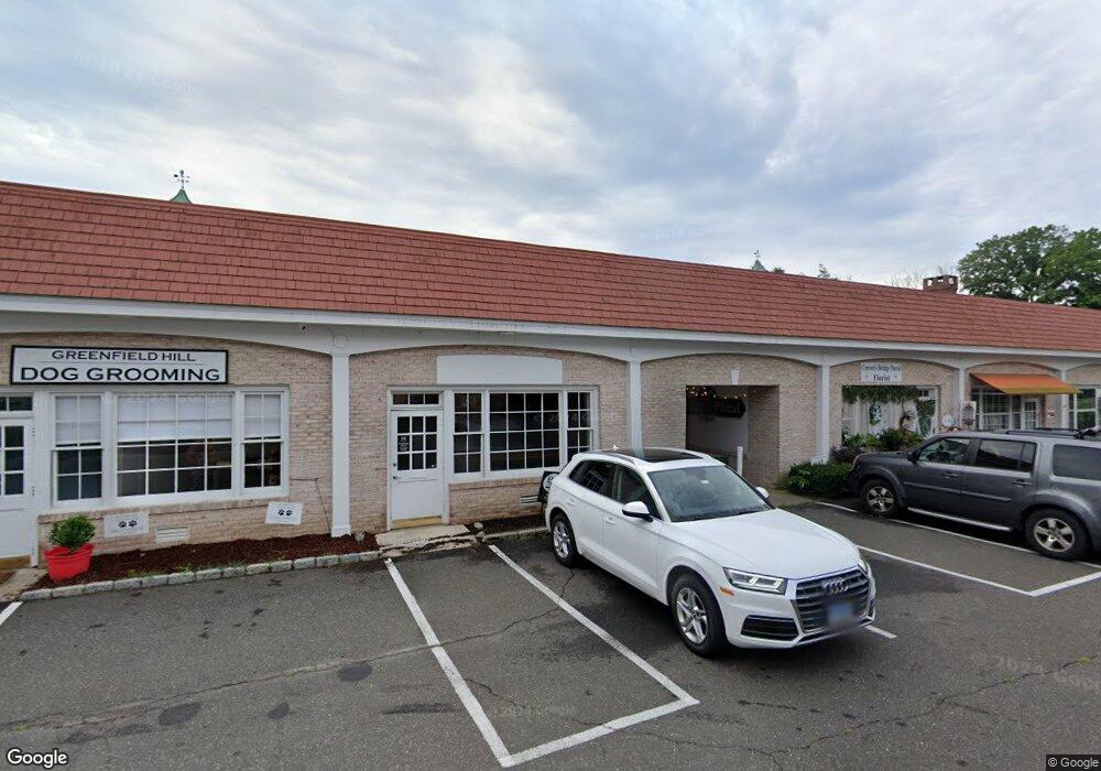
1950 Bronson Rd Fairfield, CT 06824
University NeighborhoodEstimated Value: $5,321,469
Studio
--
Bath
9,454
Sq Ft
$563/Sq Ft
Est. Value
About This Home
This home is located at 1950 Bronson Rd, Fairfield, CT 06824 and is currently estimated at $5,321,469, approximately $562 per square foot. 1950 Bronson Rd is a home located in Fairfield County with nearby schools including Dwight Elementary School, Roger Ludlowe Middle School, and Fairfield Ludlowe High School.
Ownership History
Date
Name
Owned For
Owner Type
Purchase Details
Closed on
Nov 2, 2016
Sold by
1950 Bronson Road Llc
Bought by
Common Greenfield Hill
Current Estimated Value
Home Financials for this Owner
Home Financials are based on the most recent Mortgage that was taken out on this home.
Original Mortgage
$2,000,000
Outstanding Balance
$1,608,685
Interest Rate
3.48%
Mortgage Type
Commercial
Estimated Equity
$3,662,819
Purchase Details
Closed on
May 4, 2016
Sold by
Coelho John and Coelho Amelia
Bought by
1950 Bronson Road Llc
Purchase Details
Closed on
Aug 27, 1992
Sold by
Fitzgerald Joel J and Fortune William
Bought by
Coelho John and Coelho Amelia
Home Financials for this Owner
Home Financials are based on the most recent Mortgage that was taken out on this home.
Original Mortgage
$600,000
Interest Rate
8.09%
Mortgage Type
Commercial
Create a Home Valuation Report for This Property
The Home Valuation Report is an in-depth analysis detailing your home's value as well as a comparison with similar homes in the area
Home Values in the Area
Average Home Value in this Area
Purchase History
| Date | Buyer | Sale Price | Title Company |
|---|---|---|---|
| Common Greenfield Hill | $3,000,000 | -- | |
| Greenfield Hill Common | $3,000,000 | -- | |
| 1950 Bronson Road Llc | -- | -- | |
| 1950 Bronson Road Llc | -- | -- | |
| Coelho John | $1,000,000 | -- | |
| Coelho John | $1,000,000 | -- |
Source: Public Records
Mortgage History
| Date | Status | Borrower | Loan Amount |
|---|---|---|---|
| Open | Coelho John | $2,000,000 | |
| Closed | Coelho John | $2,000,000 | |
| Previous Owner | Coelho John | $600,000 |
Source: Public Records
Tax History
| Year | Tax Paid | Tax Assessment Tax Assessment Total Assessment is a certain percentage of the fair market value that is determined by local assessors to be the total taxable value of land and additions on the property. | Land | Improvement |
|---|---|---|---|---|
| 2025 | $48,156 | $1,696,240 | $800,100 | $896,140 |
| 2024 | $47,325 | $1,696,240 | $800,100 | $896,140 |
| 2023 | $46,664 | $1,696,240 | $800,100 | $896,140 |
| 2022 | $46,206 | $1,696,240 | $800,100 | $896,140 |
| 2021 | $45,765 | $1,696,240 | $800,100 | $896,140 |
| 2020 | $44,679 | $1,667,750 | $828,240 | $839,510 |
| 2019 | $44,679 | $1,667,750 | $828,240 | $839,510 |
| 2018 | $43,962 | $1,667,750 | $828,240 | $839,510 |
| 2017 | $43,061 | $1,667,750 | $828,240 | $839,510 |
| 2016 | $42,444 | $1,667,750 | $828,240 | $839,510 |
| 2015 | $41,611 | $1,678,530 | $815,150 | $863,380 |
| 2014 | $40,956 | $1,678,530 | $815,150 | $863,380 |
Source: Public Records
Map
Nearby Homes
- 2683 Bronson Rd
- 360 Duck Farm Rd
- 688 Hulls Farm Rd
- 1353 Mill Plain Rd
- 148 Millspaugh Dr
- 647 Bronson Rd
- 218 Lower Farm Rd
- 1091 Round Hill Rd
- 110 Queens Grant Dr
- 53 Hilltop Dr
- 1380 Old Academy Rd
- 329 Bronson Rd
- 1120 Mill Hill Terrace
- 153 Pease Ave
- 188 Henderson Rd
- 1 Sturges Hwy Unit 2
- 103 Southport Woods Dr Unit 103
- 49 Southport Woods Dr
- 610 Unquowa Rd
- 10 Debra Ln
- 1990 Bronson Rd Unit 6
- 1990 Bronson Rd Unit 8
- 1990 Bronson Rd Unit 7
- 1990 Bronson Rd Unit 5
- 1990 Bronson Rd Unit 4
- 1990 Bronson Rd Unit 3
- 1990 Bronson Rd Unit 2
- 1990 Bronson Rd Unit 1
- 1939 Bronson Rd
- 1894 Bronson Rd
- 65 Hillside Rd
- 1981 Bronson Rd
- 129 Hillside Rd
- 1876 Bronson Rd
- 104 Hillside Rd
- 799 Hill Farm Rd
- 66 Hillside Rd
- 21 Wayside Ct
- 40 Hillside Rd Unit SF
- 40 Hillside Rd
Your Personal Tour Guide
Ask me questions while you tour the home.