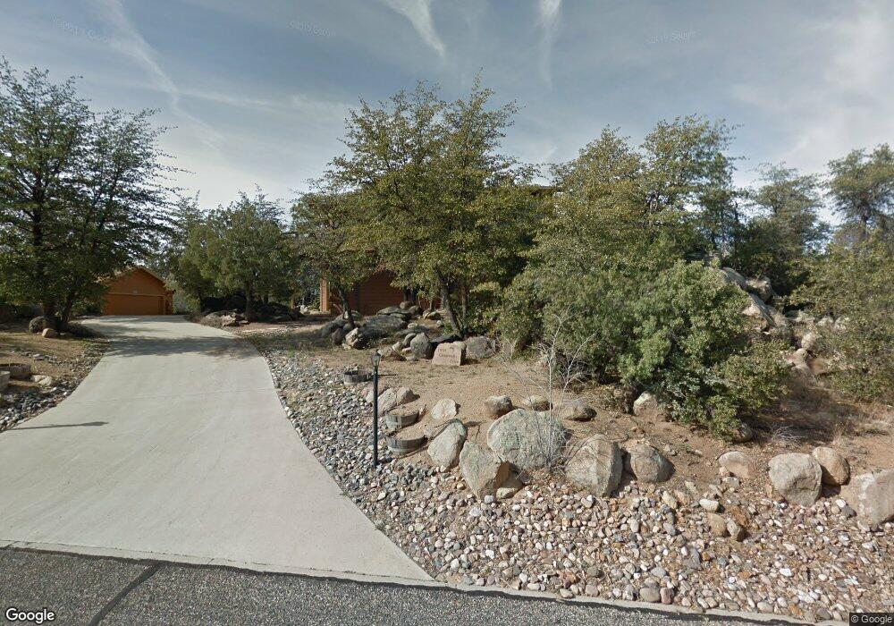
1950 Crossroads Unit 1 Prescott, AZ 86305
Estimated Value: $628,000 - $769,000
3
Beds
3
Baths
2,264
Sq Ft
$308/Sq Ft
Est. Value
About This Home
This home is located at 1950 Crossroads Unit 1, Prescott, AZ 86305 and is currently estimated at $696,210, approximately $307 per square foot. 1950 Crossroads Unit 1 is a home located in Yavapai County with nearby schools including Granite Mountain Middle School, Lincoln Elementary School, and Prescott Mile High Middle School.
Ownership History
Date
Name
Owned For
Owner Type
Purchase Details
Closed on
Oct 25, 2007
Sold by
Deboda Myra S and Deboda Arturo
Bought by
Deboda Arturo and Deboda Myra S
Current Estimated Value
Home Financials for this Owner
Home Financials are based on the most recent Mortgage that was taken out on this home.
Original Mortgage
$100,000
Interest Rate
6.05%
Mortgage Type
New Conventional
Purchase Details
Closed on
Aug 10, 2004
Sold by
Warren Sue
Bought by
Watkins Nancy Lee
Purchase Details
Closed on
Aug 29, 2000
Sold by
Warren Sue
Bought by
Warren Sue
Purchase Details
Closed on
Apr 3, 1997
Sold by
Furlong Carl B and Furlong May W
Bought by
Warren James C and Warren Sue
Home Financials for this Owner
Home Financials are based on the most recent Mortgage that was taken out on this home.
Original Mortgage
$145,500
Interest Rate
9%
Mortgage Type
New Conventional
Create a Home Valuation Report for This Property
The Home Valuation Report is an in-depth analysis detailing your home's value as well as a comparison with similar homes in the area
Home Values in the Area
Average Home Value in this Area
Purchase History
| Date | Buyer | Sale Price | Title Company |
|---|---|---|---|
| Deboda Arturo | -- | Arizona Title Agency Inc | |
| Deboda Myra S | $300,000 | Arizona Title Agency | |
| Watkins Nancy Lee | $378,000 | Yavapai Title Agency | |
| Warren Sue | -- | -- | |
| Warren James C | $194,000 | First American Title Ins |
Source: Public Records
Mortgage History
| Date | Status | Borrower | Loan Amount |
|---|---|---|---|
| Closed | Deboda Myra S | $100,000 | |
| Previous Owner | Warren James C | $145,500 |
Source: Public Records
Tax History Compared to Growth
Tax History
| Year | Tax Paid | Tax Assessment Tax Assessment Total Assessment is a certain percentage of the fair market value that is determined by local assessors to be the total taxable value of land and additions on the property. | Land | Improvement |
|---|---|---|---|---|
| 2026 | $2,116 | $54,950 | -- | -- |
| 2024 | $2,073 | $51,976 | -- | -- |
| 2023 | $2,073 | $41,916 | $9,376 | $32,540 |
| 2022 | $2,032 | $34,570 | $7,497 | $27,073 |
| 2021 | $2,118 | $34,055 | $7,027 | $27,028 |
| 2020 | $2,122 | $0 | $0 | $0 |
| 2019 | $2,095 | $0 | $0 | $0 |
| 2018 | $2,021 | $0 | $0 | $0 |
| 2017 | $1,927 | $0 | $0 | $0 |
| 2016 | $1,939 | $0 | $0 | $0 |
| 2015 | $1,584 | $0 | $0 | $0 |
| 2014 | -- | $0 | $0 | $0 |
Source: Public Records
Map
Nearby Homes
- 1507 Sierry Springs Dr
- 1966 Lower Crestview
- 1991 Forest View
- 2349 Loma Vista Dr
- 8 Lots Shannon Ln
- 2022 Shannon Ln
- 1962 Forest View
- 1492 Forest View W
- 2023 Shannon Ln
- 1940 W Rock Castle
- 2024 Shannon Ln
- 1790 N Holiday
- 2025 Shannon Ln
- 1466 Sierry Springs Dr
- 2301 Loma Vista Dr
- 1464 Sierry Springs Dr
- 1944 Forest View
- 1462 Sierry Springs Dr
- 1377 Dalke Point
- 1458 Sierry Springs Dr
- 1950 Crossroads
- 1940 Crossroads
- 1960 Crossroads
- 1587 Sierry Peaks Dr
- 0 Crossroads
- 1910 Crossroads Unit 2
- 1910 Crossroads
- 1589 Sierry Peaks Dr
- 1589 Sierry Peaks Dr Unit 1
- 1955 Crossroads
- 1586 Stone Trail
- 1586 Stone Trail Unit 1
- 1583 Sierry Peaks Dr
- 1930 Crossroads
- 1930 Crossroads Unit 4
- 1585 Sierry Peaks Dr
- 1591 Sierry Peaks Dr
- 1591 Sierry Peaks Dr
- 1591 Sierry Peaks Dr Unit A
- 1591 Sierry Peaks Dr Unit B