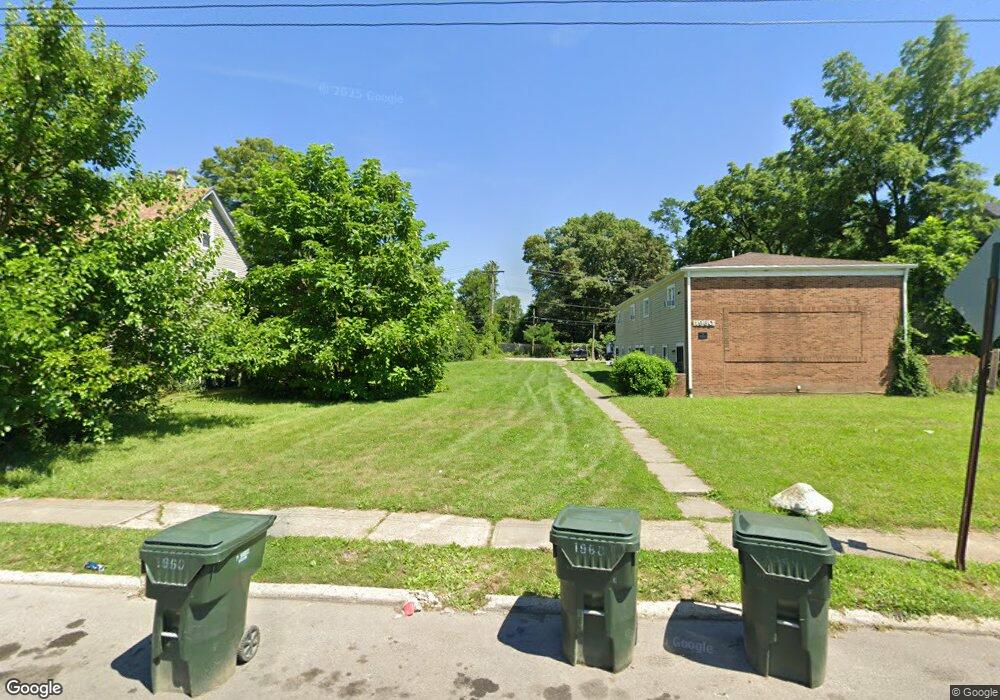
1950 Denune Ave Unit A,B,C,D Columbus, OH 43211
East Linden NeighborhoodEstimated Value: $98,406
2
Beds
1
Bath
4,095
Sq Ft
$24/Sq Ft
Est. Value
About This Home
This home is located at 1950 Denune Ave Unit A,B,C,D, Columbus, OH 43211 and is currently priced at $98,406, approximately $24 per square foot. 1950 Denune Ave Unit A,B,C,D is a home located in Franklin County with nearby schools including Linden STEM Academy (K-6), Linden-Mckinley Stem School On Arcadia, and Columbus Humanities Arts & Technology Academy.
Ownership History
Date
Name
Owned For
Owner Type
Purchase Details
Closed on
May 20, 2024
Sold by
Housing Resources & National Advocate Ne
Bought by
Allied New Homes Llc
Current Estimated Value
Purchase Details
Closed on
Jul 5, 2022
Sold by
Next Chapter Homes Llc
Bought by
Housing Resources & National Advocate Network
Purchase Details
Closed on
Apr 25, 2022
Sold by
Sheriff Of Franklin County
Bought by
Vanderbilt Real Estate Investments Llc
Purchase Details
Closed on
Sep 10, 2015
Sold by
Odell Roy Inc
Bought by
Vanderbilt Real Estate Investments Llc
Purchase Details
Closed on
Feb 20, 2015
Sold by
Nationstar Mortgage Llc
Bought by
Odell Roy Inc
Purchase Details
Closed on
Dec 15, 2014
Sold by
Emerson Donald and Emerson Shelby
Bought by
Nationstar Mortgage Llc
Purchase Details
Closed on
Nov 23, 2012
Sold by
Emerson Donald and Aurora Loan Servicing Llc
Bought by
Nationstar Mortgage Llc
Purchase Details
Closed on
Jan 31, 2007
Sold by
Snyder Joseph
Bought by
Emerson Donald and Emerson Shelby
Home Financials for this Owner
Home Financials are based on the most recent Mortgage that was taken out on this home.
Original Mortgage
$152,500
Interest Rate
6.19%
Mortgage Type
Purchase Money Mortgage
Purchase Details
Closed on
Jun 15, 2005
Sold by
Dfg2 Llc
Bought by
Snyder Joseph
Home Financials for this Owner
Home Financials are based on the most recent Mortgage that was taken out on this home.
Original Mortgage
$123,250
Interest Rate
8.94%
Mortgage Type
Fannie Mae Freddie Mac
Purchase Details
Closed on
Dec 23, 2003
Sold by
Green Donald F and Green Donald
Bought by
Dfg2 Llc
Purchase Details
Closed on
Mar 11, 1998
Sold by
Murphy Frances L and Broadview Mtg Company
Bought by
Hud
Purchase Details
Closed on
Nov 14, 1994
Sold by
Citizens Federal Bank
Bought by
Williams Frances L Murphy and Williams Perry L
Home Financials for this Owner
Home Financials are based on the most recent Mortgage that was taken out on this home.
Original Mortgage
$112,200
Interest Rate
8.86%
Mortgage Type
FHA
Purchase Details
Closed on
Jul 2, 1929
Sold by
Hud
Bought by
Broadview Mtg Company
Create a Home Valuation Report for This Property
The Home Valuation Report is an in-depth analysis detailing your home's value as well as a comparison with similar homes in the area
Home Values in the Area
Average Home Value in this Area
Purchase History
| Date | Buyer | Sale Price | Title Company |
|---|---|---|---|
| Allied New Homes Llc | $27,500 | Empora Title | |
| Housing Resources & National Advocate Network | $28,000 | Pm Title | |
| Vanderbilt Real Estate Investments Llc | $6,716 | Ellis Charles R | |
| Vanderbilt Real Estate Investments Llc | $7,285 | Attorney | |
| Odell Roy Inc | $3,500 | Heights Title Agency | |
| Nationstar Mortgage Llc | $22,000 | None Available | |
| Nationstar Mortgage Llc | $22,000 | None Available | |
| Emerson Donald | $152,500 | Valmer Land | |
| Snyder Joseph | $145,000 | Pillar Titl | |
| Dfg2 Llc | -- | -- | |
| Hud | -- | -- | |
| Williams Frances L Murphy | $54,000 | -- | |
| Broadview Mtg Company | -- | -- |
Source: Public Records
Mortgage History
| Date | Status | Borrower | Loan Amount |
|---|---|---|---|
| Previous Owner | Emerson Donald | $152,500 | |
| Previous Owner | Snyder Joseph | $123,250 | |
| Previous Owner | Williams Frances L Murphy | $112,200 |
Source: Public Records
Tax History Compared to Growth
Tax History
| Year | Tax Paid | Tax Assessment Tax Assessment Total Assessment is a certain percentage of the fair market value that is determined by local assessors to be the total taxable value of land and additions on the property. | Land | Improvement |
|---|---|---|---|---|
| 2024 | $688 | $8,860 | $8,680 | $180 |
| 2023 | $742 | $8,860 | $8,680 | $180 |
| 2022 | $342 | $4,170 | $4,170 | $0 |
| 2021 | $3,031 | $4,170 | $4,170 | $0 |
| 2020 | $896 | $4,170 | $4,170 | $0 |
| 2019 | $1,958 | $3,640 | $3,640 | $0 |
| 2018 | $539 | $3,640 | $3,640 | $0 |
| 2017 | $799 | $3,640 | $3,640 | $0 |
| 2016 | $317 | $3,640 | $3,640 | $0 |
| 2015 | $294 | $3,640 | $3,640 | $0 |
| 2014 | $294 | $3,640 | $3,640 | $0 |
| 2013 | $3,665 | $36,750 | $3,640 | $33,110 |
Source: Public Records
Map
Nearby Homes
- 1967 Denune Ave
- 1985 Aberdeen Ave
- 1995 Minnesota Ave
- 2765 Joyce Ave
- 2771 Fern Ave
- 2096 Minnesota Ave
- 2480 Parkwood Ave
- 00 Minnesota Ave
- 01 Minnesota Ave
- 1326 Minnesota Ave
- 2585 Perdue Ave
- 1938 Myrtle Ave
- 1853 E Lakeview Ave
- 2055 Earl Ave
- 2444 Bancroft St
- 2076 Agler Rd
- 1691 E Weber Rd
- 2810 Baughman Ave
- 1669 Manchester Ave
- 1799 Harold Place
- 1950 Denune Ave
- 1944 Denune Ave
- 1960 Denune Ave
- 1938 Denune Ave
- 1968 Denune Ave
- 1932 Denune Ave
- 2670 Joyce Ave
- 2673 Fern Ave
- 2682 Joyce Ave Unit A
- 2682 Joyce Ave
- 1947 Denune Ave
- 1953 Denune Ave
- 1935 Denune Ave
- 1961 Denune Ave
- 2677 Fern Ave
- 2684 Joyce Ave Unit B
- 2684 Joyce Ave Unit A
- 2684 Joyce Ave
- 1929 Denune Ave
- 2690 Joyce Ave