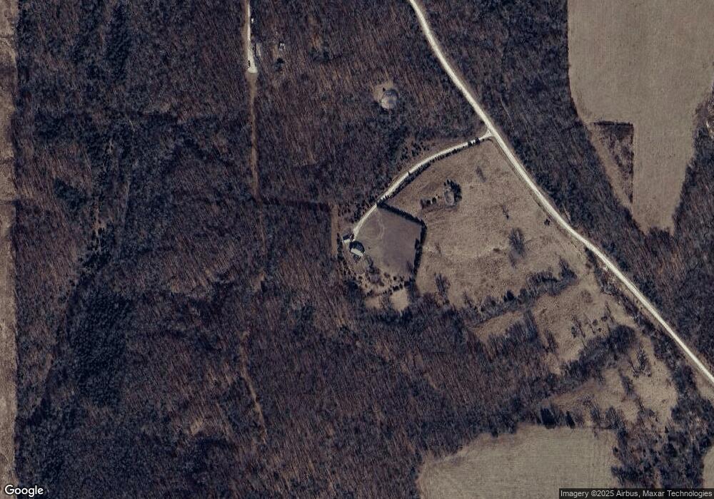
1950 Holman Rd Strafford, MO 65757
Estimated Value: $359,557 - $421,000
--
Bed
--
Bath
1,620
Sq Ft
$242/Sq Ft
Est. Value
About This Home
This home is located at 1950 Holman Rd, Strafford, MO 65757 and is currently estimated at $392,186, approximately $242 per square foot. 1950 Holman Rd is a home with nearby schools including Strafford Elementary School, Strafford Middle School, and Strafford High School.
Create a Home Valuation Report for This Property
The Home Valuation Report is an in-depth analysis detailing your home's value as well as a comparison with similar homes in the area
Home Values in the Area
Average Home Value in this Area
Tax History Compared to Growth
Tax History
| Year | Tax Paid | Tax Assessment Tax Assessment Total Assessment is a certain percentage of the fair market value that is determined by local assessors to be the total taxable value of land and additions on the property. | Land | Improvement |
|---|---|---|---|---|
| 2024 | $1,712 | $31,450 | $0 | $0 |
| 2023 | $1,726 | $31,450 | $0 | $0 |
| 2022 | $1,632 | $31,450 | $0 | $0 |
| 2021 | $1,533 | $31,450 | $0 | $0 |
| 2020 | $1,417 | $28,680 | $0 | $0 |
| 2019 | $1,417 | $28,680 | $0 | $0 |
| 2018 | $1,423 | $28,680 | $0 | $0 |
| 2017 | $1,407 | $28,680 | $0 | $0 |
| 2016 | $1,275 | $25,790 | $0 | $0 |
| 2015 | $1,276 | $25,790 | $0 | $0 |
| 2012 | -- | $25,790 | $0 | $0 |
Source: Public Records
Map
Nearby Homes
- 000 Buena Vista Pkwy
- 1 Paradise Rd
- 95 Highland Ct
- 45 Stone Ridge Ct
- 2324 Grier Branch Rd
- 271 Appaloosa
- 9784 E Farm Road 104
- 50 Tall Tree Dr
- TBD State Highway B
- 620 Dartmoore Dr
- 689 Dartmoore Dr
- 5786 N Farm Road 249
- 4548 N Farm Road 249
- 000 State Highway Kk
- Tract 8b N Farm Road 245
- Tract 8a N Farm Road 245
- Tract 2 N Farm Road 245
- Tract 1 N Farm Road 245
- 000 Tbd State Highway Kk 13 5 Acres