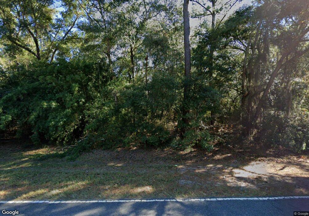
1950 Johnson Rd NE Townsend, GA 31331
Crescent NeighborhoodEstimated Value: $142,000 - $232,000
3
Beds
1
Bath
920
Sq Ft
$207/Sq Ft
Est. Value
About This Home
This home is located at 1950 Johnson Rd NE, Townsend, GA 31331 and is currently estimated at $190,453, approximately $207 per square foot. 1950 Johnson Rd NE is a home located in McIntosh County with nearby schools including Todd Grant Elementary School, McIntosh County Middle School, and McIntosh County Academy.
Ownership History
Date
Name
Owned For
Owner Type
Purchase Details
Closed on
Jun 10, 2025
Sold by
Ross Howard Martha
Bought by
Fleming Kyrisston and Ross Howard Martha
Current Estimated Value
Purchase Details
Closed on
Nov 6, 2024
Sold by
Fleming Earic
Bought by
Ross Howard Martha
Purchase Details
Closed on
Apr 23, 2019
Sold by
Howard Martha Ross
Bought by
Howard Martha Ross and Fleming Earic
Purchase Details
Closed on
Apr 2, 2008
Sold by
Ross Levi
Bought by
Howard Martha
Purchase Details
Closed on
Mar 31, 2008
Sold by
Ross James
Bought by
Howard Martha
Purchase Details
Closed on
Mar 1, 2008
Sold by
Hill Isreal
Bought by
Howard Martha
Create a Home Valuation Report for This Property
The Home Valuation Report is an in-depth analysis detailing your home's value as well as a comparison with similar homes in the area
Home Values in the Area
Average Home Value in this Area
Purchase History
| Date | Buyer | Sale Price | Title Company |
|---|---|---|---|
| Fleming Kyrisston | -- | -- | |
| Ross Howard Martha | -- | -- | |
| Howard Martha Ross | -- | -- | |
| Howard Martha | -- | -- | |
| Howard Martha | -- | -- | |
| Howard Martha | -- | -- | |
| Howard Martha | -- | -- |
Source: Public Records
Tax History
| Year | Tax Paid | Tax Assessment Tax Assessment Total Assessment is a certain percentage of the fair market value that is determined by local assessors to be the total taxable value of land and additions on the property. | Land | Improvement |
|---|---|---|---|---|
| 2024 | $1,296 | $41,212 | $11,160 | $30,052 |
| 2023 | $1,237 | $38,972 | $10,160 | $28,812 |
| 2022 | $1,110 | $34,412 | $9,680 | $24,732 |
| 2021 | $938 | $28,212 | $9,680 | $18,532 |
| 2020 | $887 | $26,092 | $9,680 | $16,412 |
| 2019 | $848 | $26,172 | $9,680 | $16,492 |
| 2018 | $695 | $26,172 | $9,680 | $16,492 |
| 2017 | $837 | $27,972 | $9,680 | $18,292 |
| 2016 | $397 | $27,972 | $9,680 | $18,292 |
| 2015 | -- | $21,401 | $2,961 | $18,440 |
| 2014 | -- | $33,641 | $15,201 | $18,440 |
Source: Public Records
Map
Nearby Homes
- 1303 Marsh Dr NE
- 1156 Marsh Dr NE
- Lot 45 Marsh Dr NE
- 1262 Sapelo Gardens
- 1225 NE O'Neal Dr
- 1334 Azalea Rd NE
- 0 Hwy 99 Unit 1659442
- 1304 Old Smokey
- 11.73 Acres On Smith Rd SE
- 1207 Lewis Ln NE
- 1629 River St NE
- 1334 Emma Ln SE
- 1443 Gillican Ave NE
- 3308 Fair Hope Rd NE
- 0 Crow Trail SE Unit 1654392
- 1474 Mcintosh Trail SE
- 1494 Forest Marsh Loop NE
- 0 Briar Patch Lot 29 Place
- 0 Briar Patch Lot 28 Place
- 0 Briar Patch Lot 30 Place
- 1019 Marsh Dr NE
- 1849 Johnson Rd NE
- 0 Johnson Rd
- W/S Johnson Rd NE
- 17 LOTS Sapelo Oaks Subdivision Dr
- 19 Marsh Dr NE
- 1021 Seaburg Dr NE
- 21 Seaburg
- Lot 8 Marsh Dr
- 1032 Seaburg Dr NE
- 1042 Edgewater Dr NE
- 1095 Lakeview Dr NE
- 1033 Lakeview Dr NE
- 2296 Johnson Rd NE
- 0 Marsh Dr NE Unit SA297030
- 0 Marsh Dr NE Unit 39 11207751
- 0 Marsh Dr NE
- V/L 21 Marsh Dr NE
- V/L 20 Marsh Dr NE
- V/L 19 Marsh Dr NE
