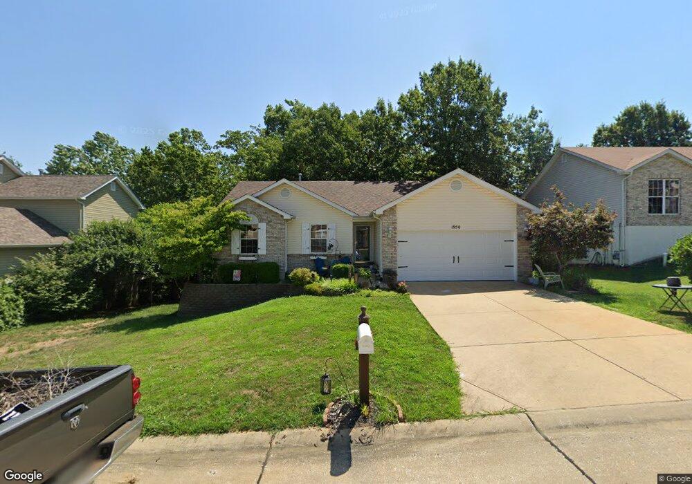
1950 McKinley Range Festus, MO 63028
Festus/Crystal City NeighborhoodEstimated Value: $286,327 - $314,000
3
Beds
2
Baths
1,280
Sq Ft
$234/Sq Ft
Est. Value
About This Home
This home is located at 1950 McKinley Range, Festus, MO 63028 and is currently estimated at $299,582, approximately $234 per square foot. 1950 McKinley Range is a home located in Jefferson County with nearby schools including Festus Elementary School, Festus Intermediate School, and Festus Middle School.
Ownership History
Date
Name
Owned For
Owner Type
Purchase Details
Closed on
Dec 15, 2016
Sold by
Wessels Douglas M and Wessels Lois A
Bought by
Sullivan Vanguard Llc
Current Estimated Value
Purchase Details
Closed on
Sep 22, 2006
Sold by
Muegge Bonnie S
Bought by
Wessels Douglas M and Wessels Lois A
Home Financials for this Owner
Home Financials are based on the most recent Mortgage that was taken out on this home.
Original Mortgage
$175,610
Interest Rate
6.47%
Mortgage Type
VA
Purchase Details
Closed on
Jan 30, 2003
Sold by
K A B Construction Co Llc
Bought by
Muegge Bonnie S
Home Financials for this Owner
Home Financials are based on the most recent Mortgage that was taken out on this home.
Original Mortgage
$110,400
Interest Rate
5.96%
Create a Home Valuation Report for This Property
The Home Valuation Report is an in-depth analysis detailing your home's value as well as a comparison with similar homes in the area
Home Values in the Area
Average Home Value in this Area
Purchase History
| Date | Buyer | Sale Price | Title Company |
|---|---|---|---|
| Sullivan Vanguard Llc | $137,600 | None Available | |
| Wessels Douglas M | -- | None Available | |
| Muegge Bonnie S | -- | -- |
Source: Public Records
Mortgage History
| Date | Status | Borrower | Loan Amount |
|---|---|---|---|
| Previous Owner | Wessels Douglas M | $175,610 | |
| Previous Owner | Muegge Bonnie S | $110,400 |
Source: Public Records
Tax History
| Year | Tax Paid | Tax Assessment Tax Assessment Total Assessment is a certain percentage of the fair market value that is determined by local assessors to be the total taxable value of land and additions on the property. | Land | Improvement |
|---|---|---|---|---|
| 2025 | $1,925 | $36,400 | $8,800 | $27,600 |
| 2024 | $1,925 | $34,000 | $8,800 | $25,200 |
| 2023 | $1,925 | $34,000 | $8,800 | $25,200 |
| 2022 | $1,915 | $34,000 | $8,800 | $25,200 |
| 2021 | $1,916 | $34,000 | $8,800 | $25,200 |
| 2020 | $1,839 | $30,600 | $8,000 | $22,600 |
| 2019 | $1,839 | $30,600 | $8,000 | $22,600 |
| 2018 | $1,658 | $30,600 | $8,000 | $22,600 |
| 2017 | $1,728 | $30,600 | $8,000 | $22,600 |
| 2016 | $1,476 | $27,100 | $6,400 | $20,700 |
Source: Public Records
Map
Nearby Homes
- 1434 Moose Pass
- 17 Parkville Ln
- 1604 Sugar Creek Dr
- 1603 Sugar Creek Dr
- 1605 Sugar Creek Dr
- 1607 Sugar Creek Dr
- 1614 Sugar Creek Dr
- 24 Adventura Dr
- 120 Greenbrier Blvd
- 11787 Gamel Cemetery Rd
- 621 Westwood Dr S Unit A
- 2214 Buck Creek Rd
- 813 American Legion Dr
- 518 Westwood Place
- 0 Tbb Birchwood Overlook-Hickory
- 0 Tbb Birchwood Overlook -Pin Oa Unit MAR24022705
- 17 Ash Ct
- 955 S 3rd St
- 947 S 2nd St
- 1810 Valley View Cir
- 1946 McKinley Range
- 1954 McKinley Range
- 1409 Moose Pass
- 1958 McKinley Range
- 1942 McKinley Range
- 1943 McKinley Range
- 1939 McKinley Range
- 1401 Moose Pass
- 1947 McKinley Range
- 1938 McKinley Range
- 1935 McKinley Range
- 1417 Moose Pass
- 1951 McKinley Range
- 1962 McKinley Range
- 1931 McKinley Range
- 1412 Glacier Pass
- 1402 Moose Pass
- 1433 Moose Pass
- 1944 Anchorage Dr
- 1936 Anchorage Dr
Your Personal Tour Guide
Ask me questions while you tour the home.