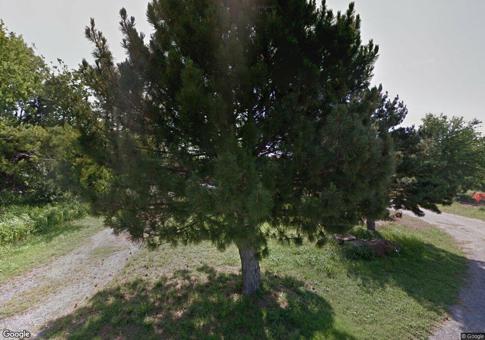
1950 N Main St Newcastle, OK 73065
Estimated Value: $324,000 - $428,127
3
Beds
2
Baths
3,999
Sq Ft
$91/Sq Ft
Est. Value
About This Home
This home is located at 1950 N Main St, Newcastle, OK 73065 and is currently estimated at $364,042, approximately $91 per square foot. 1950 N Main St is a home located in McClain County with nearby schools including Newcastle Elementary School, Newcastle Middle School, and Newcastle High School.
Ownership History
Date
Name
Owned For
Owner Type
Purchase Details
Closed on
Mar 14, 2024
Sold by
Bobby Joe Henning Revocable Living Trust and Henning Gregory A
Bought by
Henning Randy C
Current Estimated Value
Purchase Details
Closed on
May 7, 2022
Sold by
Henning Gregory A and Henning Marie E
Bought by
Henning Michael V and Henning Beverly A
Create a Home Valuation Report for This Property
The Home Valuation Report is an in-depth analysis detailing your home's value as well as a comparison with similar homes in the area
Home Values in the Area
Average Home Value in this Area
Purchase History
| Date | Buyer | Sale Price | Title Company |
|---|---|---|---|
| Henning Randy C | -- | None Listed On Document | |
| Michael V Henning Living Trust | -- | None Listed On Document | |
| Henning Gregory A | -- | None Listed On Document | |
| Henning Michael V | -- | None Listed On Document | |
| Henning Gregory A | -- | None Listed On Document |
Source: Public Records
Tax History Compared to Growth
Tax History
| Year | Tax Paid | Tax Assessment Tax Assessment Total Assessment is a certain percentage of the fair market value that is determined by local assessors to be the total taxable value of land and additions on the property. | Land | Improvement |
|---|---|---|---|---|
| 2025 | $1,344 | $13,102 | $7,683 | $5,419 |
| 2024 | $1,344 | $12,721 | $7,460 | $5,261 |
| 2023 | $1,344 | $12,350 | $7,401 | $4,949 |
| 2022 | $1,269 | $11,990 | $7,217 | $4,773 |
| 2021 | $1,289 | $11,641 | $7,039 | $4,602 |
| 2020 | $1,253 | $11,302 | $6,865 | $4,437 |
| 2019 | $1,231 | $10,973 | $6,697 | $4,276 |
| 2018 | $1,174 | $10,653 | $6,432 | $4,221 |
| 2017 | $1,134 | $10,343 | $6,240 | $4,103 |
| 2016 | $1,102 | $10,042 | $6,012 | $4,030 |
| 2015 | $1,066 | $9,750 | $6,059 | $3,691 |
| 2014 | $1,018 | $9,466 | $6,138 | $3,328 |
Source: Public Records
Map
Nearby Homes
- 1664 Comice Dr
- 1640 Comice Dr
- 410 NE 17th Place
- 400 NE 17th Place
- 1906 Bradford Cir
- 2000 Bradford Cir
- 1009 NW 17th St
- 1657 Autumn Lane Ct
- 1019 NW 17th St
- 1109 N Doris Ave
- 1100 N Doris Ave
- 1132 NW 17th Place
- 1165 NW 17th St
- 1013 N Carr Dr
- 1231 NW 17th Place
- 375 NE 9th Place
- 1733 Pine Brook
- 303 Naomi Ln
- 1525 NW 17th Place
- 1116 Vermont Ave
- 1946 N Main St
- 0 4 5 Ac Mol Hwy 62
- 1867 Comice Dr
- 1863 Comice Dr
- 1827 Comice Dr
- 1845 Comice Dr
- 1805 Comice Dr
- 1945 N Main St
- 1705 Bartlett Dr
- 1755 Bartlett Dr
- 1765 Bartlett Dr
- 1775 Bartlett Dr
- 1785 Bartlett Dr
- 1805 Bartlett Dr
- 1844 Comice Dr
- 2180 N Main St
- 2101 N Main St
- 2121 N Main St
- 1865 Bartlett Dr
- 1875 Bartlett Dr
