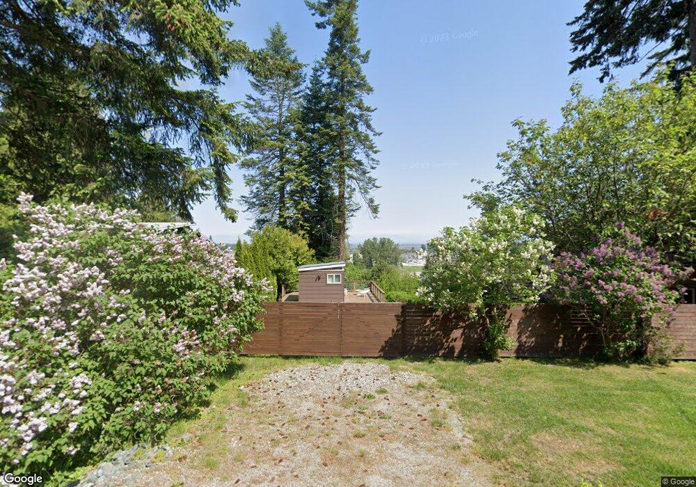
1950 Province Rd Point Roberts, WA 98281
Estimated Value: $449,000 - $501,233
2
Beds
1
Bath
1,344
Sq Ft
$348/Sq Ft
Est. Value
About This Home
This home is located at 1950 Province Rd, Point Roberts, WA 98281 and is currently estimated at $468,058, approximately $348 per square foot. 1950 Province Rd is a home located in Whatcom County with nearby schools including Point Roberts Primary School, Blaine Middle School, and Blaine High School.
Ownership History
Date
Name
Owned For
Owner Type
Purchase Details
Closed on
Jul 10, 2003
Sold by
Fares Boulos Meta
Bought by
Jacobs Michael J
Current Estimated Value
Home Financials for this Owner
Home Financials are based on the most recent Mortgage that was taken out on this home.
Original Mortgage
$95,200
Outstanding Balance
$36,229
Interest Rate
3.87%
Mortgage Type
Purchase Money Mortgage
Estimated Equity
$431,829
Create a Home Valuation Report for This Property
The Home Valuation Report is an in-depth analysis detailing your home's value as well as a comparison with similar homes in the area
Home Values in the Area
Average Home Value in this Area
Purchase History
| Date | Buyer | Sale Price | Title Company |
|---|---|---|---|
| Jacobs Michael J | -- | Whatcom Land Title |
Source: Public Records
Mortgage History
| Date | Status | Borrower | Loan Amount |
|---|---|---|---|
| Open | Jacobs Michael J | $95,200 | |
| Closed | Jacobs Michael J | $17,850 |
Source: Public Records
Tax History Compared to Growth
Tax History
| Year | Tax Paid | Tax Assessment Tax Assessment Total Assessment is a certain percentage of the fair market value that is determined by local assessors to be the total taxable value of land and additions on the property. | Land | Improvement |
|---|---|---|---|---|
| 2024 | $3,218 | $404,936 | $168,630 | $236,306 |
| 2023 | $3,218 | $389,606 | $153,300 | $236,306 |
| 2022 | $2,566 | $355,805 | $140,000 | $215,805 |
| 2021 | $2,556 | $255,690 | $86,944 | $168,746 |
| 2020 | $2,545 | $236,747 | $80,503 | $156,244 |
| 2019 | $2,361 | $227,093 | $77,220 | $149,873 |
| 2018 | $2,247 | $204,155 | $69,420 | $134,735 |
| 2017 | $1,948 | $194,979 | $66,300 | $128,679 |
| 2016 | $2,067 | $191,156 | $65,000 | $126,156 |
| 2015 | $2,198 | $197,253 | $62,797 | $134,456 |
| 2014 | -- | $206,212 | $65,650 | $140,562 |
| 2013 | -- | $197,185 | $63,050 | $134,135 |
Source: Public Records
Map
Nearby Homes
- 1931 Sanders Ct Unit 11
- 0 3 73 Acres Derby Ave
- 1871 Johnson Rd
- 103 Goodman Rd
- 2145 Fir St
- 1 Mill Rd
- 2 Mill Rd
- 25 Roosevelt Way
- 245 Shady Glen Ave
- 125 Park Dr
- 251 Elizabeth Dr
- 2138 Benson Rd
- 8 Heather Way
- 2 Benson Rd
- Lot 2 Greenwood Dr
- 0 6 39 Acres South Beach Rd
- 302 Boundary Bay Rd
- 4 Boundary Bay Rd
- Lot 35 Boundary Bay Rd
- lot 14 Cedar Park Dr Unit 14
- 1944 Province Rd
- 1952 Cliff Rd
- 0 Monte Dr
- 1960 Province Rd
- 104 Monte Dr
- 1951 Province Rd
- 1948 Cliff Rd
- 1986 Province Rd
- 1985 Province Rd
- 1964 Province Rd
- 1990 Province Rd
- 1959 Province Rd
- 110 Monte Dr
- 1926 Cliff Rd
- 1992 Province Rd
- 1969 Province Rd
- 1952 Raleigh Dr
- 1925 Province Rd
- 1920 Province Rd
- 2 Sanders Ct