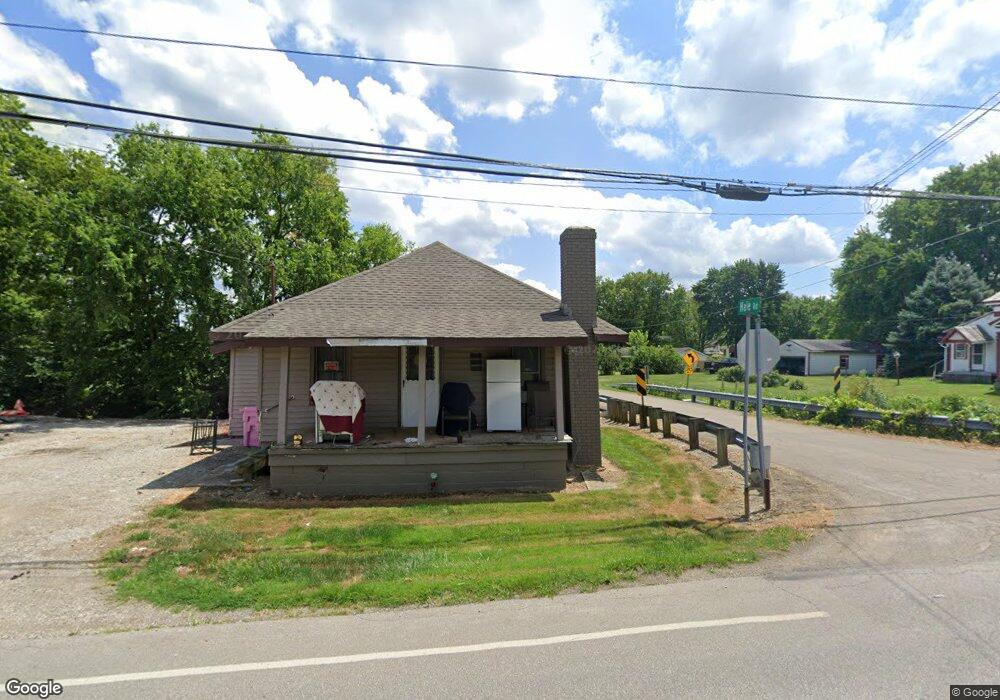
1950 Windsor Rd Mansfield, OH 44905
Estimated Value: $91,000 - $189,000
2
Beds
1
Bath
776
Sq Ft
$181/Sq Ft
Est. Value
About This Home
This home is located at 1950 Windsor Rd, Mansfield, OH 44905 and is currently estimated at $140,665, approximately $181 per square foot. 1950 Windsor Rd is a home located in Richland County with nearby schools including Madison High School, St. Mary Catholic School, and Temple-Christian School.
Ownership History
Date
Name
Owned For
Owner Type
Purchase Details
Closed on
Dec 8, 2022
Sold by
Kissel Claire A
Bought by
Daniels Amy L
Current Estimated Value
Purchase Details
Closed on
Aug 18, 1993
Sold by
Yeager Claire A
Bought by
Yeager Claire A
Purchase Details
Closed on
Apr 20, 1992
Sold by
Kissel Kathleen E
Bought by
Yeager Claire A
Purchase Details
Closed on
Jul 1, 1985
Create a Home Valuation Report for This Property
The Home Valuation Report is an in-depth analysis detailing your home's value as well as a comparison with similar homes in the area
Home Values in the Area
Average Home Value in this Area
Purchase History
| Date | Buyer | Sale Price | Title Company |
|---|---|---|---|
| Daniels Amy L | -- | -- | |
| Yeager Claire A | -- | -- | |
| Yeager Claire A | -- | -- | |
| -- | $21,200 | -- |
Source: Public Records
Tax History Compared to Growth
Tax History
| Year | Tax Paid | Tax Assessment Tax Assessment Total Assessment is a certain percentage of the fair market value that is determined by local assessors to be the total taxable value of land and additions on the property. | Land | Improvement |
|---|---|---|---|---|
| 2024 | $884 | $25,740 | $6,870 | $18,870 |
| 2023 | $1,302 | $25,740 | $6,870 | $18,870 |
| 2022 | $1,013 | $18,370 | $5,510 | $12,860 |
| 2021 | $1,013 | $18,370 | $5,510 | $12,860 |
| 2020 | $1,020 | $18,370 | $5,510 | $12,860 |
| 2019 | $933 | $15,670 | $4,620 | $11,050 |
| 2018 | $919 | $15,670 | $4,620 | $11,050 |
| 2017 | $185 | $11,870 | $2,360 | $9,510 |
| 2016 | $662 | $11,230 | $2,240 | $8,990 |
| 2015 | $62 | $11,230 | $2,240 | $8,990 |
| 2014 | $409 | $11,230 | $2,240 | $8,990 |
| 2012 | $253 | $11,820 | $2,360 | $9,460 |
Source: Public Records
Map
Nearby Homes
- 2202 Lakewood Dr
- 1951 Woodmont Rd
- 1997 Hout Rd
- 1806 Richard Dr
- 1910 Crider Rd
- 1292 Wolford Rd
- 1791 Beal Rd
- 1171 Hoover Rd
- 1585 Beal Rd
- 2270 Lakecrest Dr Unit 2272
- 1106 Keller Dr Unit 1108
- 903 Mayflower Ave
- 0 Hoover Rd
- 1151 Beal Rd
- 1158 Delwood Rd
- 1150 Delwood Dr
- 1245 N Stewart Rd
- 920 Piper Rd
- 1767 State Route 603
- 0 Satinwood Dr
- 1950 Windsor Rd
- 1613 Windsor Rd
- 1936 Windsor Rd
- 1959 Windsor Rd
- 1973 Windsor Rd
- 1738 Hale Rd
- 1934 Windsor Rd
- 1934 Windsor Rd
- 1935 Windsor Rd
- 1982 Windsor Rd
- 1981 Windsor Rd
- 1916 Windsor Rd
- 1917 Windsor Rd
- 1991 Windsor Rd
- 1985 Windsor Rd
- 1999 Windsor Rd
- 1999 Windsor Rd
- 1915 Windsor Rd
- 1908 Windsor Rd
- 1759 Hale Rd