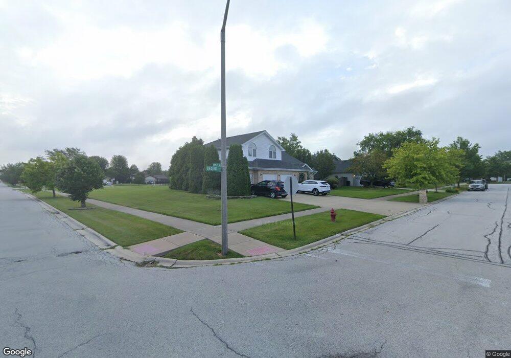
19501 Regent Dr Unit 2B Mokena, IL 60448
Estimated Value: $511,000 - $590,000
3
Beds
4
Baths
3,381
Sq Ft
$162/Sq Ft
Est. Value
About This Home
This home is located at 19501 Regent Dr Unit 2B, Mokena, IL 60448 and is currently estimated at $549,127, approximately $162 per square foot. 19501 Regent Dr Unit 2B is a home located in Will County with nearby schools including Mokena Elementary School, Mokena Intermediate School, and Mokena Jr High School.
Ownership History
Date
Name
Owned For
Owner Type
Purchase Details
Closed on
Oct 12, 1995
Sold by
State Bank Of Countryside
Bought by
Cosby Marvin and Cosby Lynette
Current Estimated Value
Home Financials for this Owner
Home Financials are based on the most recent Mortgage that was taken out on this home.
Original Mortgage
$199,000
Interest Rate
7.44%
Purchase Details
Closed on
Jan 14, 1993
Bought by
Cosby Marvin Lyn
Create a Home Valuation Report for This Property
The Home Valuation Report is an in-depth analysis detailing your home's value as well as a comparison with similar homes in the area
Home Values in the Area
Average Home Value in this Area
Purchase History
| Date | Buyer | Sale Price | Title Company |
|---|---|---|---|
| Cosby Marvin | $239,000 | Chicago Title Insurance Co | |
| Cosby Marvin Lyn | $50,000 | -- |
Source: Public Records
Mortgage History
| Date | Status | Borrower | Loan Amount |
|---|---|---|---|
| Previous Owner | Cosby Marvin | $199,000 |
Source: Public Records
Tax History Compared to Growth
Tax History
| Year | Tax Paid | Tax Assessment Tax Assessment Total Assessment is a certain percentage of the fair market value that is determined by local assessors to be the total taxable value of land and additions on the property. | Land | Improvement |
|---|---|---|---|---|
| 2024 | $13,165 | $181,547 | $26,594 | $154,953 |
| 2023 | $13,165 | $162,139 | $23,751 | $138,388 |
| 2022 | $12,683 | $147,681 | $21,633 | $126,048 |
| 2021 | $10,852 | $138,162 | $20,239 | $117,923 |
| 2020 | $10,792 | $134,269 | $19,669 | $114,600 |
| 2019 | $10,308 | $130,676 | $19,143 | $111,533 |
| 2018 | $9,971 | $126,920 | $18,593 | $108,327 |
| 2017 | $9,793 | $123,957 | $18,159 | $105,798 |
| 2016 | $9,526 | $119,707 | $17,536 | $102,171 |
| 2015 | $9,073 | $115,491 | $16,918 | $98,573 |
| 2014 | $9,073 | $114,688 | $16,800 | $97,888 |
| 2013 | $9,073 | $116,175 | $17,018 | $99,157 |
Source: Public Records
Map
Nearby Homes
- 19525 Fiona Ave
- 19443 Trenton Way
- 19242 104th Ave
- 10531 Thornham Ln Unit 10531
- 19222 104th Ave
- 19425 Everett Ln
- 10119 Cambridge Dr
- 10015 Cambridge Dr
- 9860 Stafford Ct
- Lots 4,5, & 6 191st St
- Vacant 191st St
- 10752 First Ct
- 10508 W La Porte Rd
- 19725 S Schoolhouse Rd
- 9702 Chelsea Place
- 20014 Everett Ln
- 18821 Dickens Dr
- 20044 S Kohlwood Dr
- 19300 S La Grange Rd
- 10943 1st St
- 19509 Regent Dr
- 19517 Regent Dr
- 10242 195th St Unit 5
- 10254 195th St
- 19500 Kevin Ln
- 19500 Regent Dr
- 19508 Regent Dr
- 19450 Kevin Ave Unit 5
- 19512 Kevin Ln
- 10302 195th St
- 19516 Regent Dr
- 19525 Regent Dr
- 10251 Oconnell Ave
- 10310 195th St
- 19522 Kevin Ln
- 19501 Kevin Ln
- 19501 Blyth Way
- 19531 Regent Dr
- 19511 Blyth Way
- 19511 Kevin Ln