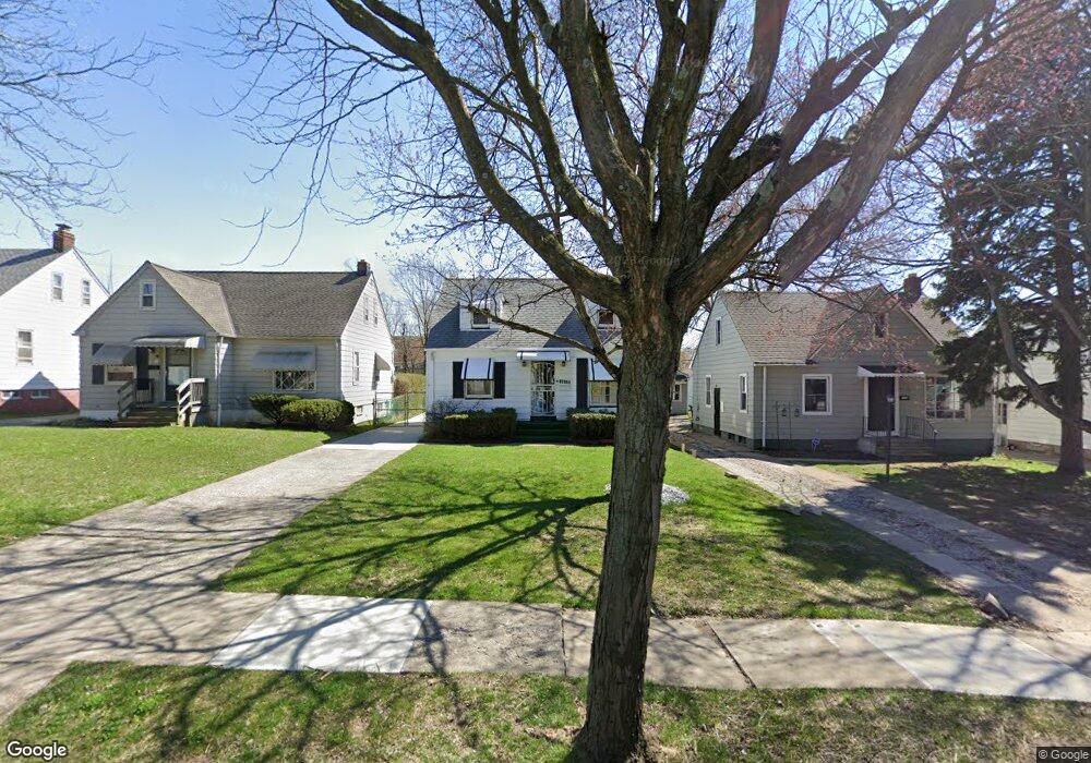
19508 Libby Rd Maple Heights, OH 44137
Estimated Value: $106,000 - $151,000
3
Beds
1
Bath
1,092
Sq Ft
$113/Sq Ft
Est. Value
About This Home
This home is located at 19508 Libby Rd, Maple Heights, OH 44137 and is currently estimated at $123,437, approximately $113 per square foot. 19508 Libby Rd is a home located in Cuyahoga County with nearby schools including Abraham Lincoln Elementary School, Rockside/ J.F. Kennedy School, and Barack Obama School.
Ownership History
Date
Name
Owned For
Owner Type
Purchase Details
Closed on
Nov 30, 1992
Sold by
Fry Craig L and Malicki Jill L
Bought by
Dennis Michael A
Current Estimated Value
Purchase Details
Closed on
Aug 2, 1985
Sold by
Skocdopole Robert G
Bought by
Fry Craig L and Malicki Jill L
Purchase Details
Closed on
Aug 21, 1979
Sold by
Rini Ignatius J and Rini Louise M
Bought by
Skocdopole Robert G
Purchase Details
Closed on
Jan 1, 1975
Bought by
Rini Ignatius J and Rini Louise M
Create a Home Valuation Report for This Property
The Home Valuation Report is an in-depth analysis detailing your home's value as well as a comparison with similar homes in the area
Home Values in the Area
Average Home Value in this Area
Purchase History
| Date | Buyer | Sale Price | Title Company |
|---|---|---|---|
| Dennis Michael A | $58,000 | -- | |
| Fry Craig L | $46,500 | -- | |
| Skocdopole Robert G | $32,000 | -- | |
| Rini Ignatius J | -- | -- |
Source: Public Records
Tax History
| Year | Tax Paid | Tax Assessment Tax Assessment Total Assessment is a certain percentage of the fair market value that is determined by local assessors to be the total taxable value of land and additions on the property. | Land | Improvement |
|---|---|---|---|---|
| 2024 | $3,369 | $37,590 | $5,250 | $32,340 |
| 2023 | $2,573 | $24,440 | $4,240 | $20,200 |
| 2022 | $2,564 | $24,430 | $4,240 | $20,200 |
| 2021 | $2,735 | $24,430 | $4,240 | $20,200 |
| 2020 | $2,332 | $18,520 | $3,220 | $15,300 |
| 2019 | $2,320 | $52,900 | $9,200 | $43,700 |
| 2018 | $2,308 | $18,520 | $3,220 | $15,300 |
| 2017 | $2,327 | $18,280 | $4,170 | $14,110 |
| 2016 | $2,252 | $18,280 | $4,170 | $14,110 |
| 2015 | $2,262 | $18,280 | $4,170 | $14,110 |
| 2014 | $2,262 | $20,100 | $4,590 | $15,510 |
Source: Public Records
Map
Nearby Homes
- 19289 Stafford Ave
- 19520 Maple Heights Blvd
- 5165 Camden Rd
- 18909 Maple Heights Blvd
- 5194 Homewood Ave
- 18715 Libby Rd
- 5409 Hollywood Ave
- 5147 Warrensville Center Rd
- 5357 Beechwood Ave
- 19931 Raymond St
- 18990 Raymond St
- 18851 Raymond St
- 20806 Clare Ave
- 20517 Raymond St
- 20905 Clare Ave
- 20600 Watson Rd
- 18811 Waterbury Ave
- 18704 Longview Ave
- 18717 Waterbury Ave
- 5219 Joseph St
- 19512 Libby Rd
- 19504 Libby Rd
- 19516 Libby Rd
- 19500 Libby Rd
- 19261 Stockton Ave
- 19265 Stockton Ave
- 19257 Stockton Ave
- 19520 Libby Rd
- 19416 Libby Rd
- 19269 Stockton Ave
- 19253 Stockton Ave
- 19524 Libby Rd
- 19412 Libby Rd
- 19273 Stockton Ave
- 19249 Stockton Ave
- 19277 Stockton Ave
- 19245 Stockton Ave
- 19528 Libby Rd
- 19408 Libby Rd
- 19509 Libby Rd
Your Personal Tour Guide
Ask me questions while you tour the home.