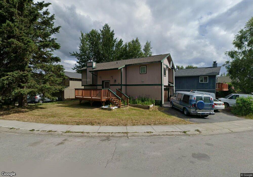
1951 Commodore Dr Anchorage, AK 99507
Abbott Loop NeighborhoodEstimated Value: $403,386 - $472,000
3
Beds
1
Bath
1,628
Sq Ft
$268/Sq Ft
Est. Value
About This Home
This home is located at 1951 Commodore Dr, Anchorage, AK 99507 and is currently estimated at $436,597, approximately $268 per square foot. 1951 Commodore Dr is a home located in Anchorage Municipality with nearby schools including Bowman Elementary School, Hanshew Middle School, and Service High School.
Ownership History
Date
Name
Owned For
Owner Type
Purchase Details
Closed on
Dec 23, 2008
Sold by
Meehleis Mark G and Meehleis Constance S
Bought by
Pervier Jeffrey K and Pervier Katherine R
Current Estimated Value
Home Financials for this Owner
Home Financials are based on the most recent Mortgage that was taken out on this home.
Original Mortgage
$227,757
Outstanding Balance
$150,269
Interest Rate
6.1%
Estimated Equity
$286,328
Create a Home Valuation Report for This Property
The Home Valuation Report is an in-depth analysis detailing your home's value as well as a comparison with similar homes in the area
Home Values in the Area
Average Home Value in this Area
Purchase History
| Date | Buyer | Sale Price | Title Company |
|---|---|---|---|
| Pervier Jeffrey K | -- | United Title |
Source: Public Records
Mortgage History
| Date | Status | Borrower | Loan Amount |
|---|---|---|---|
| Open | Pervier Jeffrey K | $227,757 |
Source: Public Records
Tax History
| Year | Tax Paid | Tax Assessment Tax Assessment Total Assessment is a certain percentage of the fair market value that is determined by local assessors to be the total taxable value of land and additions on the property. | Land | Improvement |
|---|---|---|---|---|
| 2025 | $4,532 | $381,900 | $92,500 | $289,400 |
| 2024 | $4,532 | $355,700 | $92,500 | $263,200 |
| 2023 | $5,586 | $328,000 | $92,500 | $235,500 |
| 2022 | $4,538 | $319,500 | $92,500 | $227,000 |
| 2021 | $5,242 | $290,900 | $92,500 | $198,400 |
| 2020 | $4,158 | $294,900 | $92,500 | $202,400 |
| 2019 | $3,859 | $285,900 | $92,500 | $193,400 |
| 2018 | $3,749 | $278,600 | $88,400 | $190,200 |
| 2017 | $4,241 | $290,800 | $88,400 | $202,400 |
| 2016 | $3,866 | $279,100 | $85,000 | $194,100 |
| 2015 | $3,866 | $270,100 | $85,000 | $185,100 |
| 2014 | $3,866 | $262,900 | $85,000 | $177,900 |
Source: Public Records
Map
Nearby Homes
- 1935 Commodore Dr
- 1962 Commodore Dr
- 1900-1941 Marthas Vineyard Cir
- 8000 Independence Park Dr
- 10229 Jamestown Dr Unit 605
- 10282 Jamestown Dr Unit 5A
- 9599 Brayton Dr Unit 422
- 9751 Newhaven Loop
- 9750 Vanguard Dr Unit 44
- 11501 Hawkins Ln
- 11205 Willene Dr
- 9710 Vanguard Dr Unit 80
- NHN Red Sky Cir
- 2640 E 112th Ave
- 11135 Red Sky Cir
- 9715 Independence Dr Unit B306
- 11418 Moonrise Ridge Place Unit 19
- 10996 Sky Ridge Dr
- 2211 Sentry Dr Unit B6
- 1100 E 112th Ave Unit 2
- 1955 Commodore Dr
- 1947 Commodore Dr
- 1959 Commodore Dr
- 1943 Commodore Dr
- 1965 Commodore Dr
- 1916 Commodore Dr
- 1922 Commodore Dr
- 1926 Commodore Dr
- 1963 Commodore Dr
- 1967 Commodore Dr
- 1939 Commodore Dr
- 1924 Commodore Dr
- 1932 Commodore Dr
- 1969 Commodore Dr
- 1934 Commodore Dr
- 1912 Commodore Dr
- 1971 Commodore Dr
- 1931 Commodore Dr
- 1936 Commodore Dr
- 1908 Commodore Dr
Your Personal Tour Guide
Ask me questions while you tour the home.