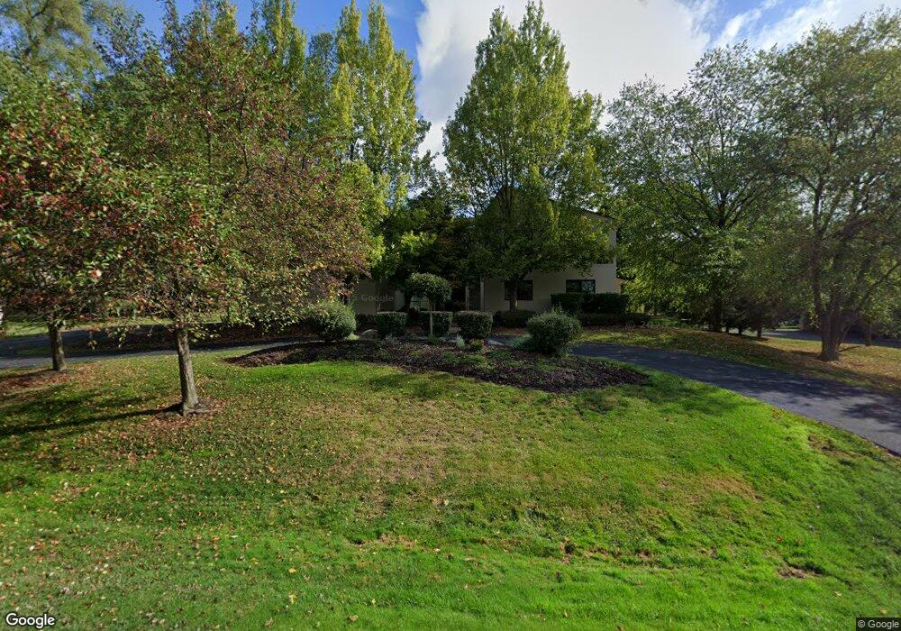
1951 Cragin Dr Unit Bldg-Unit Bloomfield Hills, MI 48302
Estimated Value: $1,219,180 - $1,361,000
4
Beds
4
Baths
3,778
Sq Ft
$341/Sq Ft
Est. Value
About This Home
This home is located at 1951 Cragin Dr Unit Bldg-Unit, Bloomfield Hills, MI 48302 and is currently estimated at $1,288,795, approximately $341 per square foot. 1951 Cragin Dr Unit Bldg-Unit is a home located in Oakland County with nearby schools including Wylie E. Groves High School, West Maple Elementary School, and Berkshire Middle School.
Ownership History
Date
Name
Owned For
Owner Type
Purchase Details
Closed on
May 8, 2019
Sold by
Tushman Alyssa Ann
Bought by
Haber David W
Current Estimated Value
Purchase Details
Closed on
May 19, 2014
Sold by
Tushman Marc Alan
Bought by
Tushman Alyssa Ann
Purchase Details
Closed on
Nov 11, 2005
Sold by
Thusman Marc A
Bought by
Tushman Marc A and Tushman Alyssa A
Purchase Details
Closed on
Jun 11, 1999
Sold by
Naes Kathleen
Bought by
Tushman Marc A
Home Financials for this Owner
Home Financials are based on the most recent Mortgage that was taken out on this home.
Original Mortgage
$125,000
Interest Rate
7.15%
Create a Home Valuation Report for This Property
The Home Valuation Report is an in-depth analysis detailing your home's value as well as a comparison with similar homes in the area
Home Values in the Area
Average Home Value in this Area
Purchase History
| Date | Buyer | Sale Price | Title Company |
|---|---|---|---|
| Haber David W | $760,000 | None Available | |
| Tushman Alyssa Ann | -- | None Available | |
| Tushman Marc A | -- | None Available | |
| Tushman Marc A | $290,000 | -- |
Source: Public Records
Mortgage History
| Date | Status | Borrower | Loan Amount |
|---|---|---|---|
| Previous Owner | Tushman Marc A | $125,000 |
Source: Public Records
Tax History Compared to Growth
Tax History
| Year | Tax Paid | Tax Assessment Tax Assessment Total Assessment is a certain percentage of the fair market value that is determined by local assessors to be the total taxable value of land and additions on the property. | Land | Improvement |
|---|---|---|---|---|
| 2024 | $9,151 | $533,460 | $0 | $0 |
| 2023 | $8,782 | $486,990 | $0 | $0 |
| 2022 | $14,865 | $468,990 | $0 | $0 |
| 2021 | $14,989 | $416,090 | $0 | $0 |
| 2020 | $8,436 | $381,080 | $0 | $0 |
| 2019 | $9,574 | $364,150 | $0 | $0 |
| 2018 | $11,888 | $354,470 | $0 | $0 |
| 2017 | $11,777 | $337,960 | $0 | $0 |
| 2016 | $11,704 | $313,400 | $0 | $0 |
| 2015 | -- | $311,280 | $0 | $0 |
| 2014 | -- | $265,400 | $0 | $0 |
| 2011 | -- | $241,070 | $0 | $0 |
Source: Public Records
Map
Nearby Homes
- 1907 Raymond Place
- 5118 Vincennes Ct
- 1732 Blair House Ct
- 1992 Bent Tree Trail
- 4297 Wabeek Lake Dr S Unit 26
- 2433 Wickfield Rd
- 4768 Wendrick Dr
- 4724 Tara Ct
- 1715 Lone Pine Rd
- 4033 Fox Lake Dr
- 5190 Clarendon Crest St
- 4783 Quarton Rd
- 5148 Crest Knolls Ct
- 1795 Golf Ridge Dr Unit 19
- 2460 Turner St
- 5620 Inkster Rd
- 4641 Cove Rd
- 0000 Middlebelt Rd
- 5620 Eastman Blvd
- 0000 Putnam Dr
- 1951 Cragin Dr
- 1957 Cragin Dr
- 1915 Raymond Place
- 1941 Cragin Dr
- 1950 Cragin Dr
- 1911 Raymond Place
- 1925 Cragin Dr
- 1963 Cragin Dr
- 1960 Cragin Dr
- 1944 Cragin Dr
- 1918 Raymond Place
- 1932 Cragin Dr
- 1938 Cragin Dr
- 4791 Inkster Rd
- 1926 Cragin Dr
- 1967 Cragin Dr
- 1910 Raymond Plc
- 1903 Raymond Place Unit Bldg-Unit
- 1903 Raymond Place
- 1910 Raymond Place