1951 Dickenson Rd Sykesville, MD 21784
Estimated Value: $1,717,292
--
Bed
--
Bath
2,070
Sq Ft
$830/Sq Ft
Est. Value
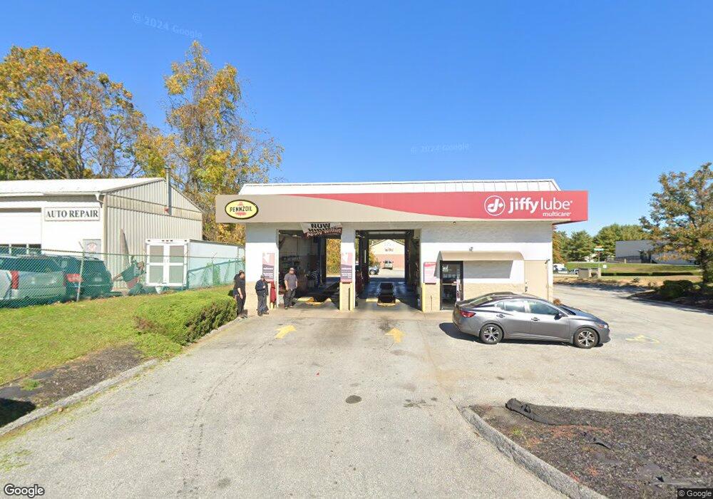
About This Home
This home is located at 1951 Dickenson Rd, Sykesville, MD 21784 and is currently estimated at $1,717,292, approximately $829 per square foot. 1951 Dickenson Rd is a home located in Carroll County with nearby schools including Freedom District Elementary School, Oklahoma Road Middle School, and Liberty High School.
Ownership History
Date
Name
Owned For
Owner Type
Purchase Details
Closed on
Apr 20, 2016
Sold by
Dickinson Road Llc
Bought by
Eldersburg Re Llc
Current Estimated Value
Home Financials for this Owner
Home Financials are based on the most recent Mortgage that was taken out on this home.
Original Mortgage
$864,000
Outstanding Balance
$687,070
Interest Rate
3.71%
Mortgage Type
Commercial
Estimated Equity
$1,030,222
Purchase Details
Closed on
Feb 21, 1997
Sold by
Monroe Partnership
Bought by
Dickinson Road Llc
Create a Home Valuation Report for This Property
The Home Valuation Report is an in-depth analysis detailing your home's value as well as a comparison with similar homes in the area
Home Values in the Area
Average Home Value in this Area
Purchase History
| Date | Buyer | Sale Price | Title Company |
|---|---|---|---|
| Eldersburg Re Llc | $1,075,000 | Attorney | |
| Dickinson Road Llc | $225,000 | -- |
Source: Public Records
Mortgage History
| Date | Status | Borrower | Loan Amount |
|---|---|---|---|
| Open | Eldersburg Re Llc | $864,000 |
Source: Public Records
Tax History Compared to Growth
Tax History
| Year | Tax Paid | Tax Assessment Tax Assessment Total Assessment is a certain percentage of the fair market value that is determined by local assessors to be the total taxable value of land and additions on the property. | Land | Improvement |
|---|---|---|---|---|
| 2025 | $8,734 | $987,933 | $0 | $0 |
| 2024 | $8,734 | $757,300 | $207,600 | $549,700 |
| 2023 | $8,554 | $741,200 | $0 | $0 |
| 2022 | $8,374 | $725,100 | $0 | $0 |
| 2021 | $16,938 | $709,000 | $207,600 | $501,400 |
| 2020 | $7,022 | $606,600 | $0 | $0 |
| 2019 | $5,926 | $504,200 | $0 | $0 |
| 2018 | $4,728 | $401,800 | $207,600 | $194,200 |
| 2017 | $4,682 | $397,633 | $0 | $0 |
| 2016 | -- | $393,467 | $0 | $0 |
| 2015 | -- | $389,300 | $0 | $0 |
| 2014 | -- | $389,300 | $0 | $0 |
Source: Public Records
Map
Nearby Homes
- 6515 Dundee Dr Unit 240
- 1822 Cassandra Dr Unit 117
- 2023 Rudy Serra Dr Unit 2D
- 2016 Rudy Serra Dr Unit A
- 2016 Rudy Serra Dr Unit C
- 2010 Rudy Serra Dr Unit C
- 2003 Rudy Serra Dr Unit 1D
- 1909 Lennox Dr Unit 90
- 6467 Cornwall Dr Unit 56
- 1900 Lennox Dr Unit 41
- 1900 Lennox Dr Unit 49
- 1809 Fallstaff Ct
- Lot 1 Carroll Highlands Rd
- 6670 Slacks Rd
- 6223 E Hemlock Dr
- 6565 Macbeth Way
- 4017 Rudy Dr
- 1696 Gemini Dr
- 6210 Rolling View Dr
- Caroline Plan at Nells Acres - 55+ Villas
- 1948 Liberty Rd
- 1940 Liberty Rd
- 1936 Liberty Rd
- 1932 Liberty Rd
- 1949 Liberty Rd
- 1945 Liberty Rd
- 6375 Monroe Ave
- 2007 Liberty Rd
- 6360 Monroe Ave
- 6506 Monroe Ave
- 6500 Marvin Ave
- 1918 Liberty Rd
- 6505 Monroe Ave
- 2021 Liberty Rd Unit D
- 2021 Liberty Rd
- 6505 Marvin Ave
- 6502 Marvin Ave
- 6508 Monroe Ave
- 2017 Elderwood Ct
- 6507 Monroe Ave