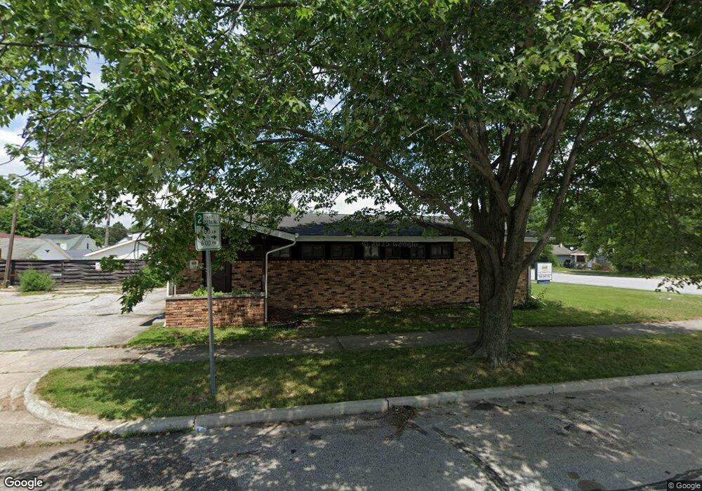
1951 E Fox St South Bend, IN 46613
Estimated Value: $135,947
Studio
--
Bath
1,344
Sq Ft
$101/Sq Ft
Est. Value
About This Home
This home is located at 1951 E Fox St, South Bend, IN 46613 and is currently estimated at $135,947, approximately $101 per square foot. 1951 E Fox St is a home located in St. Joseph County with nearby schools including Lincoln Elementary School, Marshall Traditional School, and Clay Intermediate Center.
Ownership History
Date
Name
Owned For
Owner Type
Purchase Details
Closed on
Sep 16, 2022
Sold by
Tia Corporation
Bought by
Green City Ii Llc
Current Estimated Value
Home Financials for this Owner
Home Financials are based on the most recent Mortgage that was taken out on this home.
Original Mortgage
$100,000
Interest Rate
5.22%
Mortgage Type
Construction
Purchase Details
Closed on
Feb 28, 2017
Sold by
Miller Debra Voltz
Bought by
Tiacorp
Purchase Details
Closed on
Jul 12, 2005
Sold by
Naval Joventino C and Naval Dimpna D
Bought by
Voltz Miller Debra
Home Financials for this Owner
Home Financials are based on the most recent Mortgage that was taken out on this home.
Original Mortgage
$1,000,000
Interest Rate
5.74%
Create a Home Valuation Report for This Property
The Home Valuation Report is an in-depth analysis detailing your home's value as well as a comparison with similar homes in the area
Purchase History
| Date | Buyer | Sale Price | Title Company |
|---|---|---|---|
| Green City Ii Llc | $100,000 | Greater Indiana Title | |
| Tiacorp | -- | -- | |
| Voltz Miller Debra | -- | Metroplitan Title In Llc |
Source: Public Records
Mortgage History
| Date | Status | Borrower | Loan Amount |
|---|---|---|---|
| Closed | Green City Ii Llc | $100,000 | |
| Previous Owner | Voltz Miller Debra | $1,000,000 |
Source: Public Records
Tax History
| Year | Tax Paid | Tax Assessment Tax Assessment Total Assessment is a certain percentage of the fair market value that is determined by local assessors to be the total taxable value of land and additions on the property. | Land | Improvement |
|---|---|---|---|---|
| 2025 | $2,286 | $82,900 | $7,600 | $75,300 |
| 2024 | $2,308 | $68,100 | $7,600 | $60,500 |
| 2023 | $2,319 | $68,200 | $7,600 | $60,600 |
| 2022 | $2,319 | $68,200 | $7,600 | $60,600 |
| 2021 | $2,278 | $67,000 | $9,100 | $57,900 |
| 2020 | $2,278 | $67,000 | $9,100 | $57,900 |
| 2019 | $2,010 | $67,000 | $9,100 | $57,900 |
| 2018 | $2,354 | $69,500 | $7,800 | $61,700 |
| 2017 | $2,373 | $67,800 | $7,800 | $60,000 |
| 2016 | $2,440 | $68,700 | $8,700 | $60,000 |
| 2014 | $2,887 | $79,900 | $8,700 | $71,200 |
Source: Public Records
Map
Nearby Homes
- 1937 E Donald St
- 921 Geyer Ave
- 917 Geyer Ave
- 1854 Altgeld St
- 1804 E Calvert St
- 1710 E Calvert St
- 1801 Robinson St
- 1516 E Fox St
- 1618 E Dayton St
- 2828 Southridge Dr
- 1001 Carlton St
- 2005 Panama St
- 1917 Panama St
- 1405 Randolph St
- 1339 E Bowman St
- 1340 E Calvert St
- 1921 Piedmont Way
- 1613 Leer St
- 1726 Leer St
- 1748 Leer St
- 2117 S Ironwood Dr
- 2113 S Ironwood Dr
- 1945 E Fox St
- 2109 S Ironwood Dr
- 1941 E Fox St
- 1946 E Fox St
- 1935 E Fox St
- 2105 S Ironwood Dr
- 1002 S Ironwood Dr
- 928 S Ironwood Dr
- 1006 S Ironwood Dr
- 924 S Ironwood Dr
- 1942 E Fox St
- 1944 E Donald St
- 918 S Ironwood Dr
- 1933 E Fox St
- 1938 E Fox St
- 2101 S Ironwood Dr
- 1014 S Ironwood Dr
- 1942 E Donald St
Your Personal Tour Guide
Ask me questions while you tour the home.