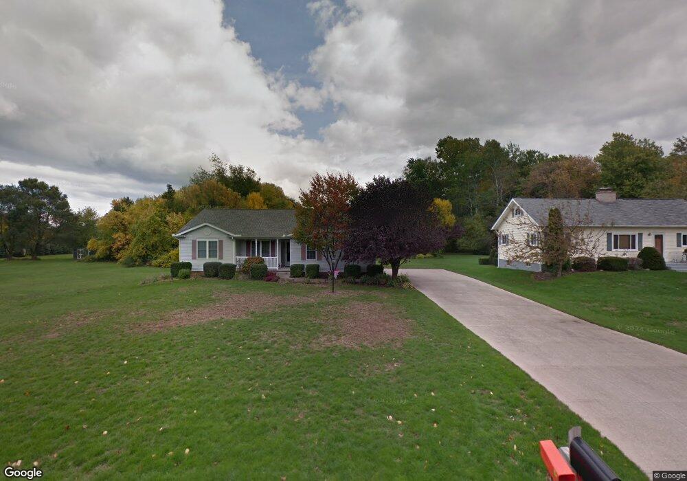
1951 Eaton Rd Fairview, PA 16415
Estimated Value: $278,997 - $374,000
3
Beds
2
Baths
1,431
Sq Ft
$231/Sq Ft
Est. Value
About This Home
This home is located at 1951 Eaton Rd, Fairview, PA 16415 and is currently estimated at $330,249, approximately $230 per square foot. 1951 Eaton Rd is a home located in Erie County with nearby schools including Fairview Elementary School, Fairview Middle School, and Fairview High School.
Ownership History
Date
Name
Owned For
Owner Type
Purchase Details
Closed on
Oct 27, 2000
Sold by
Popeski Fred J and Popeski Margaret A
Bought by
Pierce Pamela E
Current Estimated Value
Home Financials for this Owner
Home Financials are based on the most recent Mortgage that was taken out on this home.
Original Mortgage
$40,000
Interest Rate
7.51%
Purchase Details
Closed on
Mar 12, 1999
Sold by
Graham Susan
Bought by
Popeski Fred J
Home Financials for this Owner
Home Financials are based on the most recent Mortgage that was taken out on this home.
Original Mortgage
$119,000
Interest Rate
6.73%
Purchase Details
Closed on
Jun 19, 1997
Sold by
Not Provided
Bought by
Not Provided
Purchase Details
Closed on
Jun 20, 1996
Sold by
Not Provided
Bought by
Not Provided
Create a Home Valuation Report for This Property
The Home Valuation Report is an in-depth analysis detailing your home's value as well as a comparison with similar homes in the area
Home Values in the Area
Average Home Value in this Area
Purchase History
| Date | Buyer | Sale Price | Title Company |
|---|---|---|---|
| Pierce Pamela E | $150,000 | -- | |
| Popeski Fred J | -- | -- | |
| Not Provided | $26,000 | -- | |
| Not Provided | $25,000 | -- |
Source: Public Records
Mortgage History
| Date | Status | Borrower | Loan Amount |
|---|---|---|---|
| Closed | Pierce Pamela E | $40,000 | |
| Previous Owner | Popeski Fred J | $119,000 |
Source: Public Records
Tax History
| Year | Tax Paid | Tax Assessment Tax Assessment Total Assessment is a certain percentage of the fair market value that is determined by local assessors to be the total taxable value of land and additions on the property. | Land | Improvement |
|---|---|---|---|---|
| 2025 | $4,313 | $154,490 | $32,700 | $121,790 |
| 2024 | $4,228 | $154,490 | $32,700 | $121,790 |
| 2023 | $4,078 | $154,490 | $32,700 | $121,790 |
| 2022 | $3,997 | $154,490 | $32,700 | $121,790 |
| 2021 | $3,932 | $154,490 | $32,700 | $121,790 |
| 2020 | $3,822 | $154,490 | $32,700 | $121,790 |
| 2019 | $3,728 | $154,490 | $32,700 | $121,790 |
| 2018 | $3,635 | $154,490 | $32,700 | $121,790 |
| 2017 | $3,559 | $154,490 | $32,700 | $121,790 |
| 2016 | $4,112 | $154,490 | $32,700 | $121,790 |
| 2015 | $4,073 | $154,490 | $32,700 | $121,790 |
| 2014 | $1,639 | $154,490 | $32,700 | $121,790 |
Source: Public Records
Map
Nearby Homes
- 1925 Campden Way Unit 9
- 6946 W Lake Rd
- 7081 W Lake Rd
- 6916 Old Ridge Rd
- 3135 Francis Dr
- 7289 Merritt Dr
- 700 Dutch Rd
- 0 Orchard Dr
- 3515 Birchard Dr
- 3701 Bear Creek Rd
- 6575 W Ridge Rd
- 3205 Lynann Ln
- 830 Ridgeview Dr
- 7519 W Ridge Rd
- 1200 Rice Ct
- 7590 W Ridge Rd
- 7767 Maple St
- 6007 Bogey Way
- 3283 Georgian Ct Unit B
- 7361 Berry Trail Unit 88
- 1971 Eaton Rd
- 2031 Eaton Rd
- 1836 Eaton Rd
- 1834 Eaton Rd
- 2000 Eaton Rd
- 1832 Eaton Rd
- 2091 W Eaton Rd
- 1830 Eaton Rd
- 2020 Eaton Rd
- 2050 Eaton Rd
- 2091 Eaton Rd
- 1801 Eaton Rd
- 1945 Campden Way
- 1810 Eaton Rd
- 1865 Campden Way Unit 7
- 1955 Campden Way Unit 12
- 1936 Campden Way Unit 16
- 1928 Campden Way Unit 15
- 1855 Campden Way
- 1965 Campden Way Unit 13
Your Personal Tour Guide
Ask me questions while you tour the home.