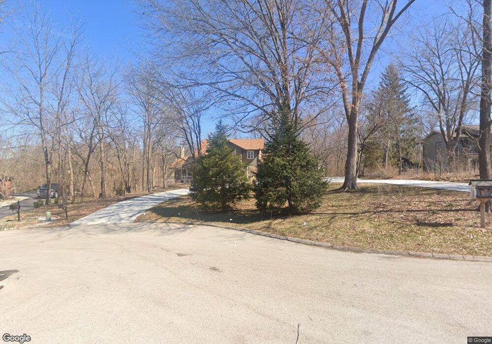
1951 Grassy Ridge Rd Saint Louis, MO 63122
Estimated Value: $717,631 - $926,000
3
Beds
3
Baths
2,090
Sq Ft
$390/Sq Ft
Est. Value
About This Home
This home is located at 1951 Grassy Ridge Rd, Saint Louis, MO 63122 and is currently estimated at $815,658, approximately $390 per square foot. 1951 Grassy Ridge Rd is a home located in St. Louis County with nearby schools including Westchester Elementary School, North Kirkwood Middle School, and Kirkwood Senior High School.
Ownership History
Date
Name
Owned For
Owner Type
Purchase Details
Closed on
Apr 18, 2012
Sold by
Romano Gregory A and Romano Marie L
Bought by
Romano Gregory A and Romano Marie L
Current Estimated Value
Purchase Details
Closed on
May 16, 2005
Sold by
Scott Taylor C and Scott Janet P
Bought by
Romano Greg and Romano Gregory A
Home Financials for this Owner
Home Financials are based on the most recent Mortgage that was taken out on this home.
Original Mortgage
$300,000
Outstanding Balance
$156,723
Interest Rate
5.87%
Mortgage Type
Fannie Mae Freddie Mac
Estimated Equity
$658,935
Create a Home Valuation Report for This Property
The Home Valuation Report is an in-depth analysis detailing your home's value as well as a comparison with similar homes in the area
Home Values in the Area
Average Home Value in this Area
Purchase History
| Date | Buyer | Sale Price | Title Company |
|---|---|---|---|
| Romano Gregory A | -- | None Available | |
| Romano Greg | $490,000 | -- |
Source: Public Records
Mortgage History
| Date | Status | Borrower | Loan Amount |
|---|---|---|---|
| Open | Romano Greg | $300,000 |
Source: Public Records
Tax History Compared to Growth
Tax History
| Year | Tax Paid | Tax Assessment Tax Assessment Total Assessment is a certain percentage of the fair market value that is determined by local assessors to be the total taxable value of land and additions on the property. | Land | Improvement |
|---|---|---|---|---|
| 2025 | $6,818 | $121,110 | $86,090 | $35,020 |
| 2024 | $6,818 | $109,100 | $64,560 | $44,540 |
| 2023 | $6,818 | $109,100 | $64,560 | $44,540 |
| 2022 | $7,321 | $111,080 | $59,190 | $51,890 |
| 2021 | $7,225 | $111,080 | $59,190 | $51,890 |
| 2020 | $6,611 | $97,700 | $44,060 | $53,640 |
| 2019 | $6,634 | $97,700 | $44,060 | $53,640 |
| 2018 | $5,078 | $65,970 | $30,610 | $35,360 |
| 2017 | $5,071 | $65,970 | $30,610 | $35,360 |
| 2016 | $4,876 | $63,920 | $26,810 | $37,110 |
| 2015 | $4,852 | $63,920 | $26,810 | $37,110 |
| 2014 | $4,616 | $59,470 | $23,690 | $35,780 |
Source: Public Records
Map
Nearby Homes
- 1800 W Adams Ave
- 467 Tree Top Ln
- 1612 Dougherty Ferry Rd
- 2002 Woodland Knoll
- 340 S Ballas Rd
- 591-593 N Ballas Rd
- 2033 Woodland Knoll
- 1912 Windy Hill Rd
- 2005 Woodland Knoll
- 2025 Woodland Knoll
- 2017 Woodland Knoll
- 698 Trailcrest Ct Unit 5
- 2029 Lily Ave
- 2000 Trailcrest Ln Unit 3
- 1925 W Woodbine Ave
- 2145 Trailcrest Dr
- 2037 Trailcrest Ln Unit 7
- 1312 W Essex Ave
- 2 Enclave Dr
- 512 Bryan Ave
- 1947 Grassy Ridge Rd
- 1959 Grassy Ridge Rd
- 1960 Grassy Ridge Rd
- 345 Rieth Terrace
- 1948 Grassy Ridge Rd
- 1933 Grassy Ridge Rd
- 369 Rieth Terrace
- 355 Rieth Terrace
- 1940 Grassy Ridge Rd
- 1934 Grassy Ridge Rd
- 1964 Dougherty Ferry Rd
- 1970 Dougherty Ferry Rd
- 1960 Dougherty Ferry Rd
- 342 Rieth Terrace
- 1974 Dougherty Ferry Rd
- 1926 Grassy Ridge Rd
- 1954 Dougherty Ferry Rd
- 368 Rieth Terrace
- 2004 Dougherty Ferry Rd
- 360 Rieth Terrace